Going from Trikala to Ioannina takes about 2 hours via the Egnatia road, however there is another road that connects the two cities. Old-timers know it well, it’s the so-called Katara which, until the Egnatia was built in 2009, was the main road linking the Thessalian city to the capital of Epirus.
The route we present may take more time, however, it is much more beautiful. It passes through fir and pine forests, has amazing views of the surrounding mountain tops, and adds an extra driving challenge due to its many turns. It should be noted that Katara is not a road for bad weather, especially in the winter. Its name alone (Katara means curse in Greek) suggests that its crossing is not an easy thing to do.
There are several points of interest along the way that we will point out. If you want to see it all, you might have to make an overnight stop somewhere, as it’s a shame to drive for five hours without stop to reach Ioannina when the whole idea of taking this route is to go on an enjoyable road trip. Of course, it’s up to you to decide.
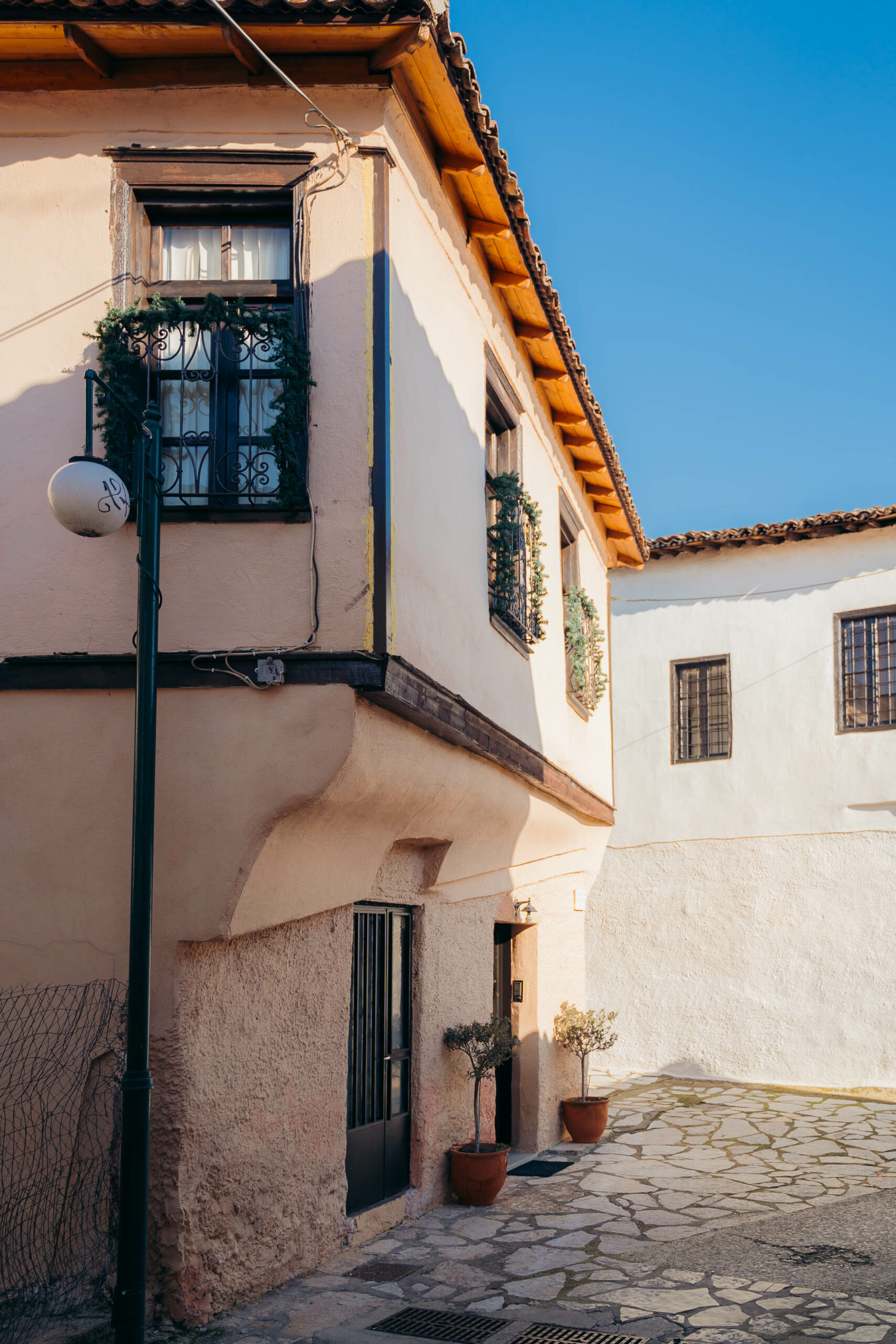
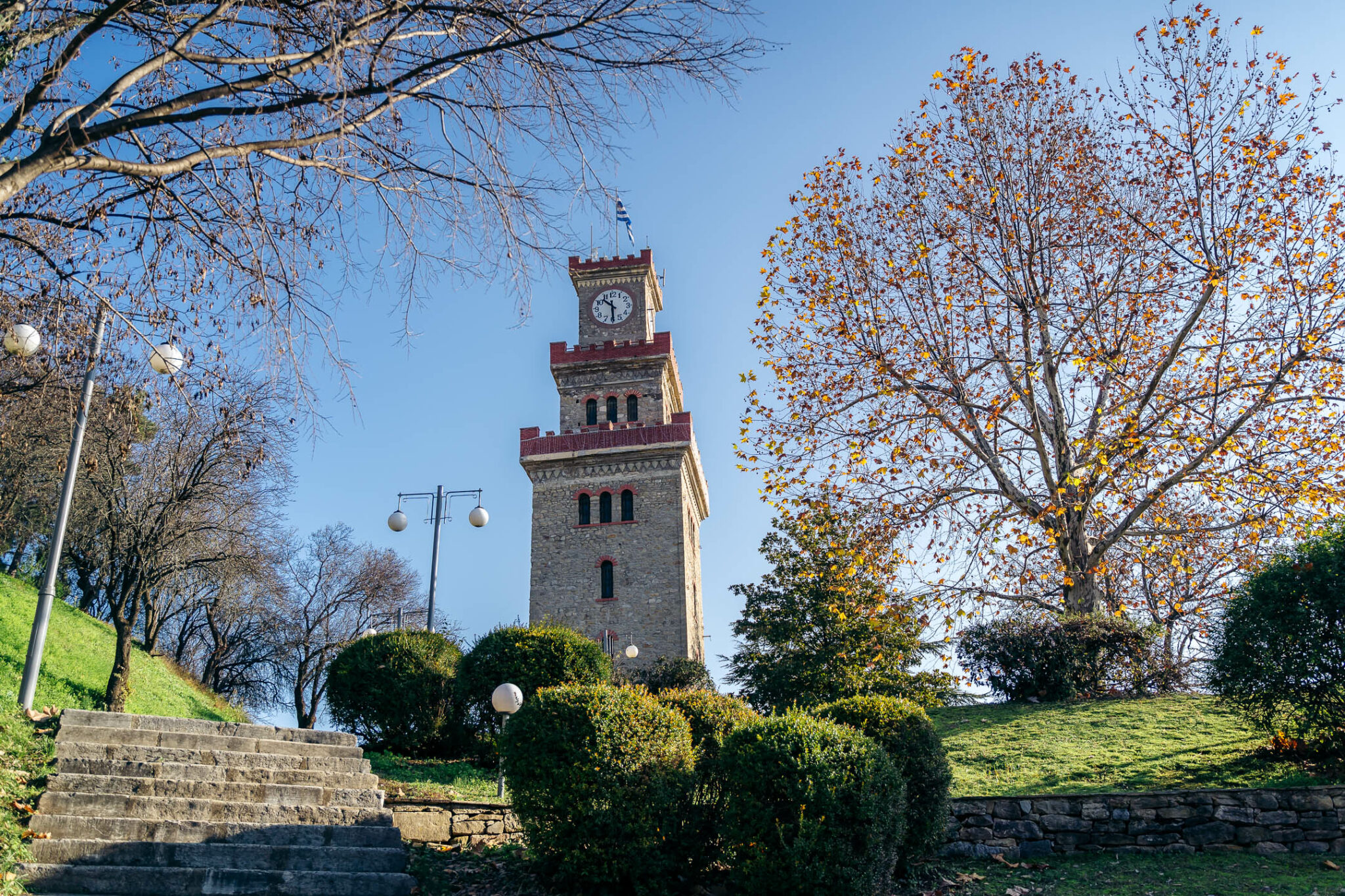
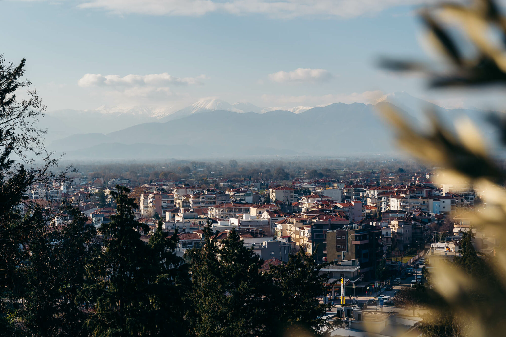
Your starting point is Trikala, the beautiful city of Thessaly, divided by the river Litheos. It’s built on the site of ancient Triki, the birthplace of Asclepius. Its most beautiful district is Varousi, the old town, which is full of traditional thatched and plinth houses and narrow cobbled streets. The Trikala castle and the emblem of the city, the clock tower, which was originally built in the 17th century but has been rebuilt many times since as it has suffered many damages, are located just above Varousi. It’s worth walking along the river, while if you want to feel the pulse of the city, you can go to Asclepius Street with its shops and stylish cafés.
Get a drink to go, and get in the car, driving northwest through the plain of Trikala. After Kefalovriso, at the village of Theopetra, there is a cave with the same name where excavations brought to light evidence of the presence of humans in the area from the Middle Palaeolithic times, about 130.000 years ago, up until the Neolithic period in 4.000 BC.
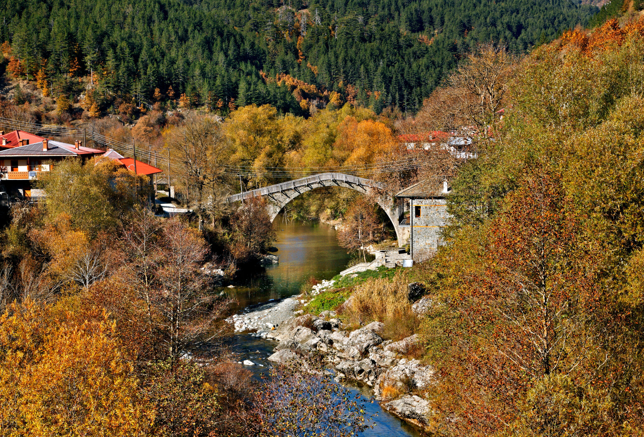
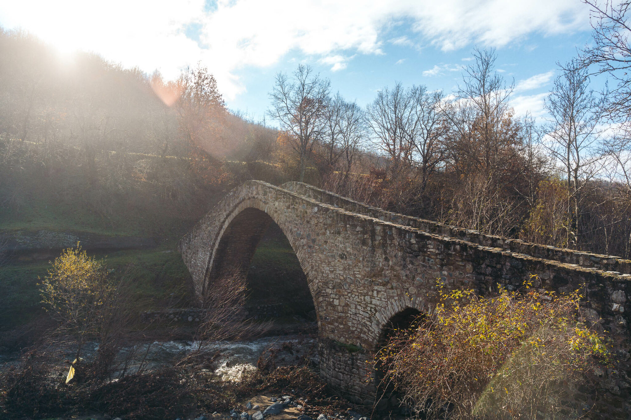
The cave is generally open to visitors but, due to works, at the moment, it remains closed. However, make a note of this for the next time you’re in the area. This is east of the road. West of the road, you can take a detour to admire the bridge of Sarakina on the Pinios river which was originally built in the 16th century by Bishop Bessarion II of Larissa, though in the early 19th century part of it was demolished and only three of its six arches survive today. Passing the bridge, you can go up to the waterfall of Agia Paraskevi which is very close to the village of the same name and is basically visible from the road, although, bear in mind, that it is a bit of hike to reach it. The amount of water always depends on the season, so make sure to ask first at the village coffeehouse before you set out.
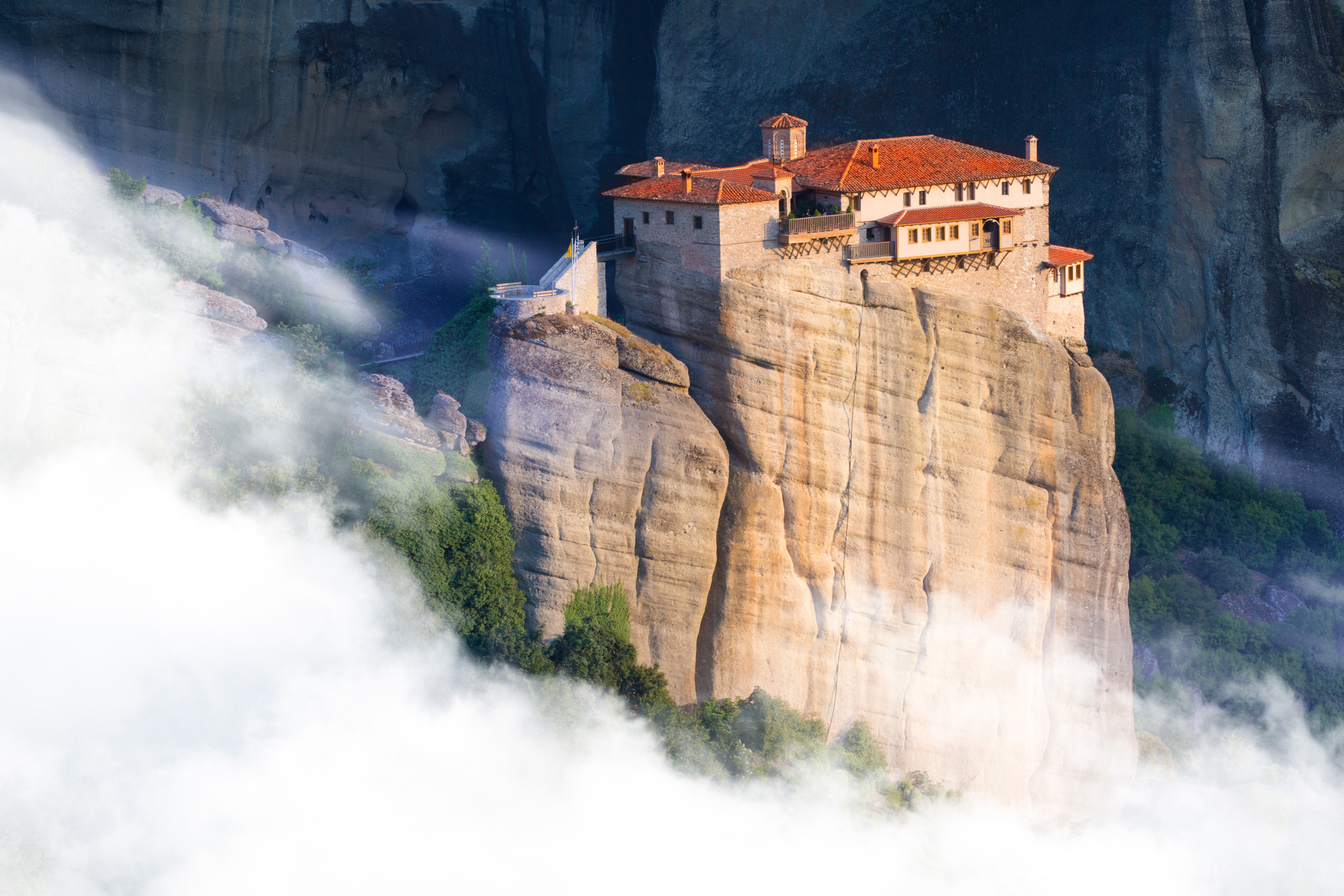
Continue on your way with Pinios river still at your west, until you reach Kalabaka and, of course, Meteora. If you haven’t visited Meteora, it’s a must to see these smooth majestic rocks that in some places are taller than 600m and have been home to Christian monasteries for centuries. The first monks came to the rocks of Meteora in the 11th century, but it took another 2 centuries for the community to flourish.
The village of Kastraki, built at the rocks’ foothills, is home to the Museum of Geological Formations of Meteora (tel.: 0030 2432022523), while in Kalabaka, you can visit the Digital Projection Centre of Meteora’s History and Culture (tel.: 0030 2432077997) and the Natural History Museum of Meteora and the Mushroom Museum (tel.: 0030 2432024959). If you stay long enough in the area, note that you can go rafting on the Aspropotamos river, and rappel and hike in Meteora.
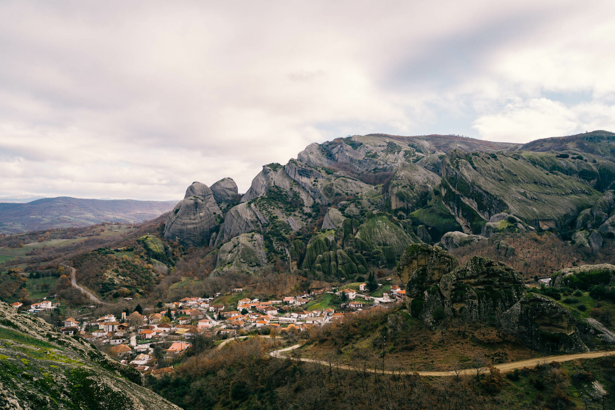
Continuing your way from Kalabaka towards Ioannina, you move for a few more kilometres parallel to the Pinios and after Murgani, where the Malakasiotiko stream joins the river, the uphill course begins, which in some places gives you a view of the small valley of Meteora. You will pass outside the village of Megali Kerasia, at about 500m altitude, which is surrounded by a magnificent oak forest. Until 1948, the village was called Meydan Kerasia, a remnant of the Ottoman Empire and changed location three times until a more hospitable spot was found as the original settlement was badly damaged by a landslide.
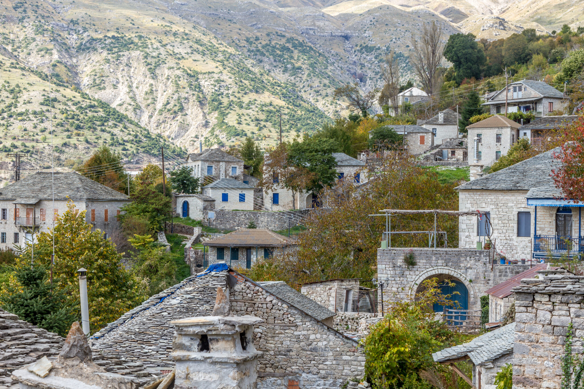
The next village you pass by is Orthovouni, at 600m altitude, while on the way you have views of the surrounding mountain peaks and the Malakasiotiko stream. The winding road continues up to the village of Trigona at an altitude of 750m at the edge of Kratshovo and also has a beautiful view of Malakasiotis. Here, you can make a stop to rest while having a coffee or a tsipouro with the locals. Just outside the village, in Analipsi, you can fill your flasks with cool water from the stone fountain on the road and relax in the tavern Analipsi (tel: 00302432070120) with its nice meze.
If you don’t want to stop at Trigona, proceed to the next village of Koridalos or Tzenerades as it is also known. By this point you not yet halfway there, you’ll have covered about 55 km out of 144 in total. The village is surrounded by beautiful oak trees and overlooks Lakmos and Koziakas. There are a few taverns in the village, like Petrino (tel.: 0030 2432071937), Koridalos (tel: 0030 2432070231) and the Antonis’ grill house (tel: 0030 6973200138). Between the villages of Koridalos and Panagia there is also Pallas Casa (tel: 0030 6934021175), that consists of small self-contained houses where you can spend the night. Panagia or Libohovo, is a large village surrounded by pine, beech and fir trees and, if you have time, make sure to stop for a coffee.
From Panagia you will now start to climb up the mountain and slowly enter Katara, a winding challenging yet beautiful road with many fir and pine trees around. From Panagia and for the next 30 or so kilometres to Metsovo you won’t come across any other villages, so, if you want water and snacks get them before you start. The hardest part of Katara is about 18 km long.
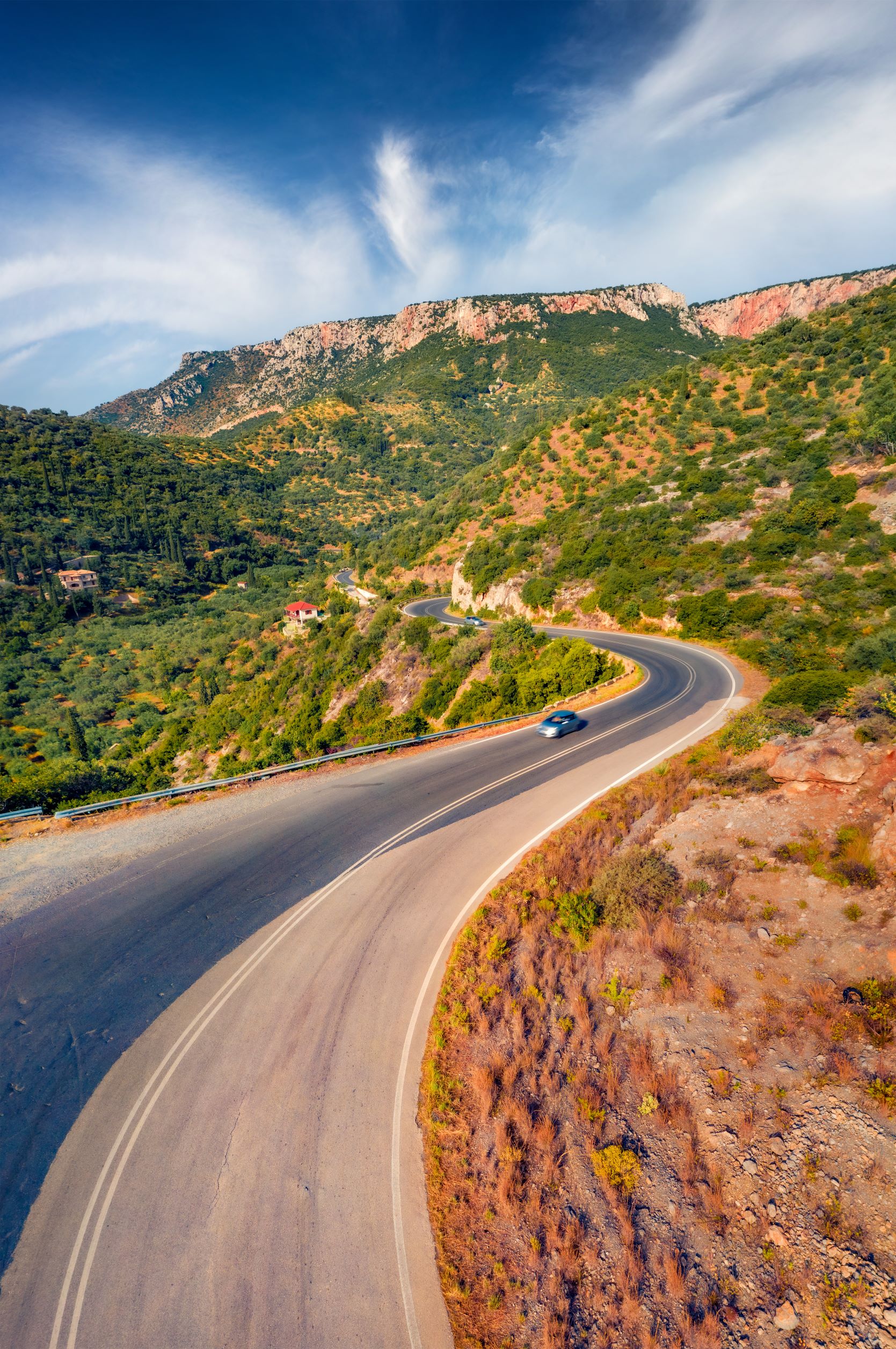
According to legend, Katara got its name from a despot who around 1800 set out from Ioannina to go to Trikala but the bad weather in the area made it so difficult for him that he died on the way and he cursed the mountain. The clearing where the despot succumbed is now known as Kampos tou Despoti. So, until 2009, when the Egnatia was completed, Katara was the feared by drivers who had to pass through there in the winter to go to Ioannina or from Ioannina to go to Trikala. Especially one part, at 1.690 m altitude was particularly tricky. The problem was the abrupt changes in the weather conditions due to the altitude. Even if it was sunny when you started in lower altitudes, there could be at best a little fog and at worst a blizzard. However, when the weather is good the route despite its twists and turns is beautiful.
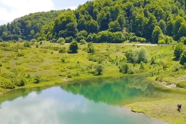
Leaving Katara behind you the landscape is slowly stripped of trees and all you see is mountain peaks. A nice detour before you reach Metsovo is to the artificial lake of the springs of the Aoos river, at an altitude of 1.350 m. A stunning landscape full of greenery, mostly beech trees on the western shores and pine, fir trees and black pine dominating the north-eastern part. Surrounding it are small meadows with beautiful orchids and wildflowers, ponds with alpine newts and streams flowing into the lake. It’s worth stopping here at some point, getting out of the car, and walking along the banks of the lake to enjoy this beautiful landscape to the fullest.
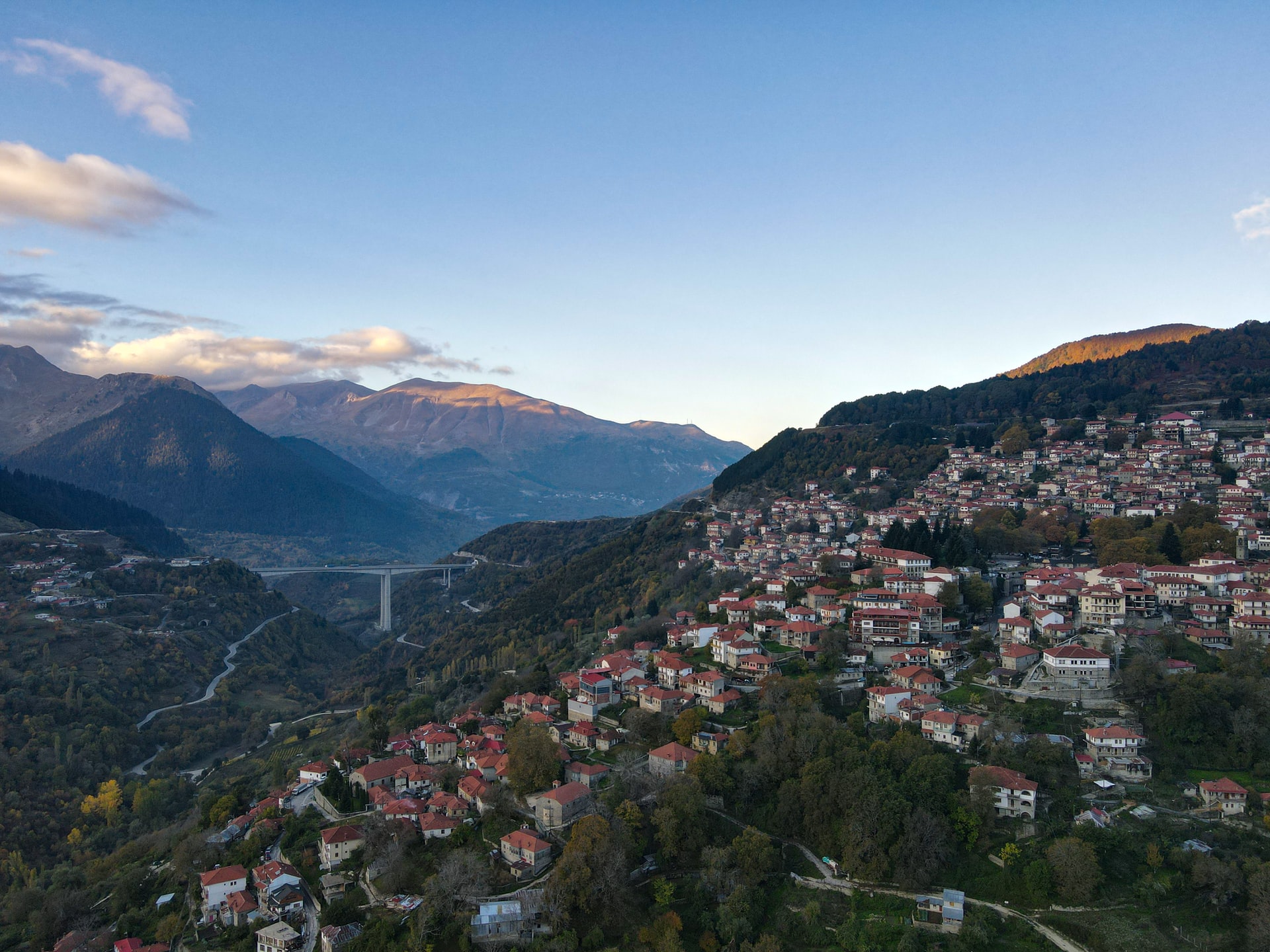
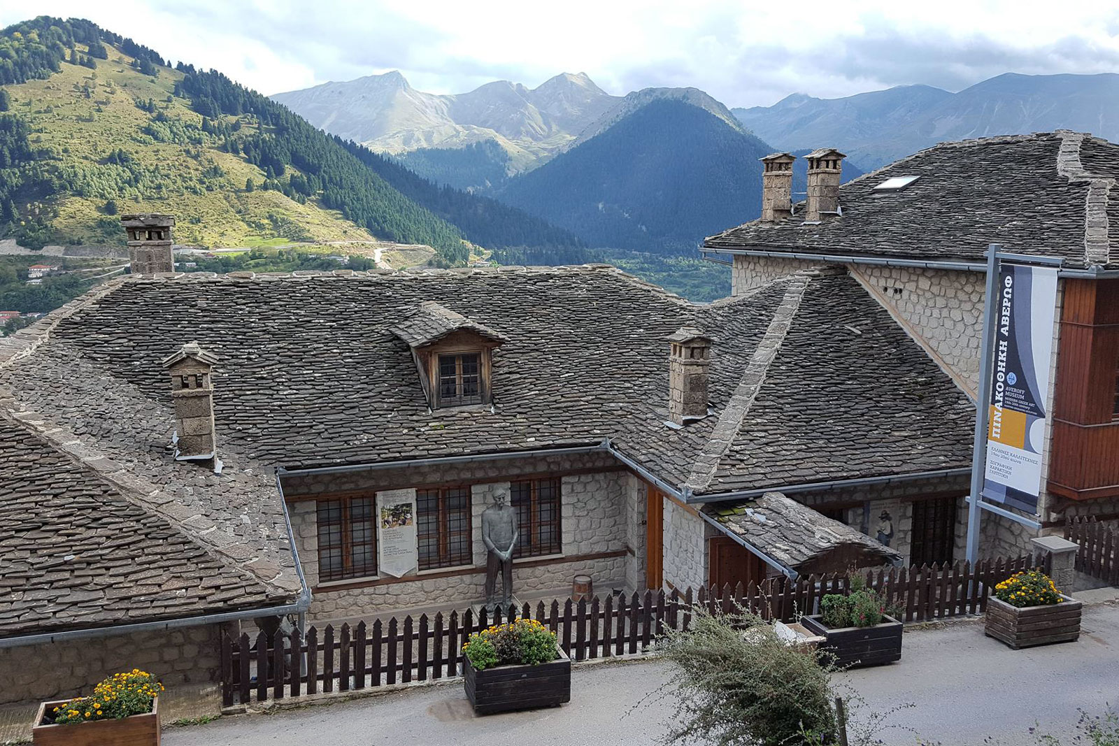
After the lake, Metsovo is next. Here is where you’ll stop for longer before continuing to Ioannina. Stretching out on the slopes of Pindos, at an altitude of 1,200m and drowned in greenery, Metsovo is a beautiful village. What can you do here? You can visit the Averoff Winery (tel: 0030 2656042505), the Metsovo Folk Art Museum (tel: 0030 2656041084) and a little further, the Averoff Museum (tel: 0030 2656041210) with works mainly from the personal collection of Evangelos Averoff. From Metsovo, there are also many trails that enter the National Park of Pindos and lead to Vovousa, Haliki, Kalarites, Sirako, etc.
For food, you can go to Galaxia (tel: 0030 2656041202) with its beautiful hall and fireplace, delicious pies, and good meat, or to Koutouki tou Nikola (tel: 0030 2656041732) the small family tavern where stews and grilled meats compete in deliciousness. If you want to stay overnight in Metsovo, there are many options, otherwise get back on the road and drive downhill to Ioannina, a distance of about 60 km. Some accommodation options include the luxurious Aroma Drios which has a spa (tel: 0030 2656029008), the stylish Grand Forest Metsovo with its beautiful view (tel: 0030 2656029001-4), or the very cosy Katogi Averoff (tel: 0030 2656042505).
Leaving Metsovo, you’ll meet the village of Votonosi, at 794 m altitude, but pass by it and continue your way which now runs parallel to the Egnatia road as well as to the Metsovian tributary of the Arahthos river. Cross Arahthos at Baltoumas, and then over the Egnatia road with the constant view of the surrounding mountain peaks.
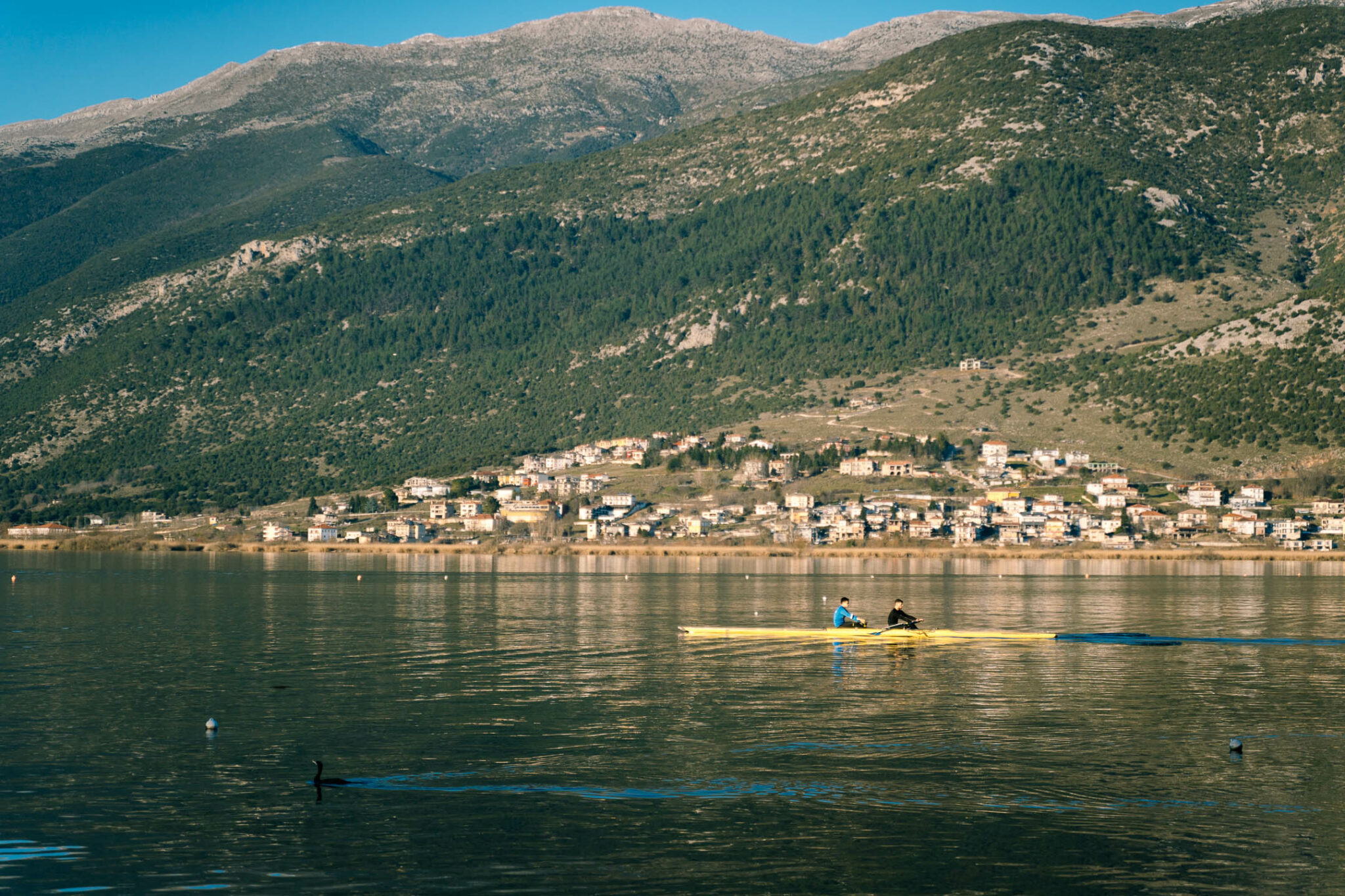
From there, after only a few more turns, and near Spothus the road goes downhill and you start to see Pamvotida lake and behind it, Ioannina spreading out. Stop at Kastro and go down to the lake. You more than deserve some tsipouro to relax.
Read also:
Lush village in Greece’s Arcadia region ideal for escape to nature
Traditional village in the heart of Crete with an extensive history
6 villages for autumn travel on the Greek islands – superb architecture, nature, rare beauty


