From high above, Ikaria resembles a long, thin hot dog bun. Or a slightly crooked loaf of bread. This shape gave the island its ancient name of Dolihi, from the ancient Greek word meaning elongated.
The bird’s-eye view is possible because Ikaria is reached by plane, or rather, and by plane. “Ikaria has an airport?” is a typical question asked by unsuspecting tourists, who often confused Ikaria – when the island was lesser known – with Ithaki, in Greece’s west, or erroneously believe it belongs to the group of Dodecanese islands. Ikaria is neither an Ionian Island nor a Dodecanese island. It is a member of the North Aegean group of islands, on their southern edge, and, administratively, belongs to neighboring Samos. But don’t bother looking for similarities between the people of the neighboring islands.
Ikarians have grown tired of being talked to about stereotypes created by the otherwise useful marketing campaign over the past decade concerning the longevity of locals. Not that it isn’t true. Locals now over one hundred years old, men and women, live on this island. The island’s best-known centenarian, a resident of the mountain village Vrakades, recently celebrated her 110th birthday. More crucially, locals have had enough of being the subject of talk by others – the same stories repeated over and over again.
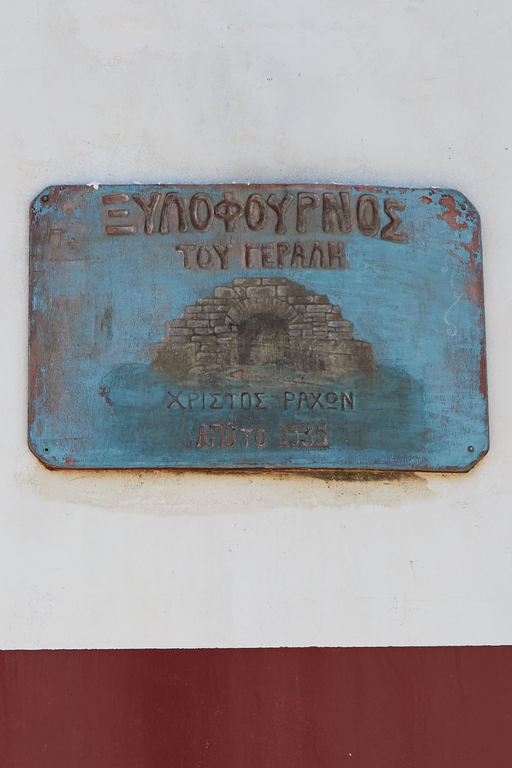
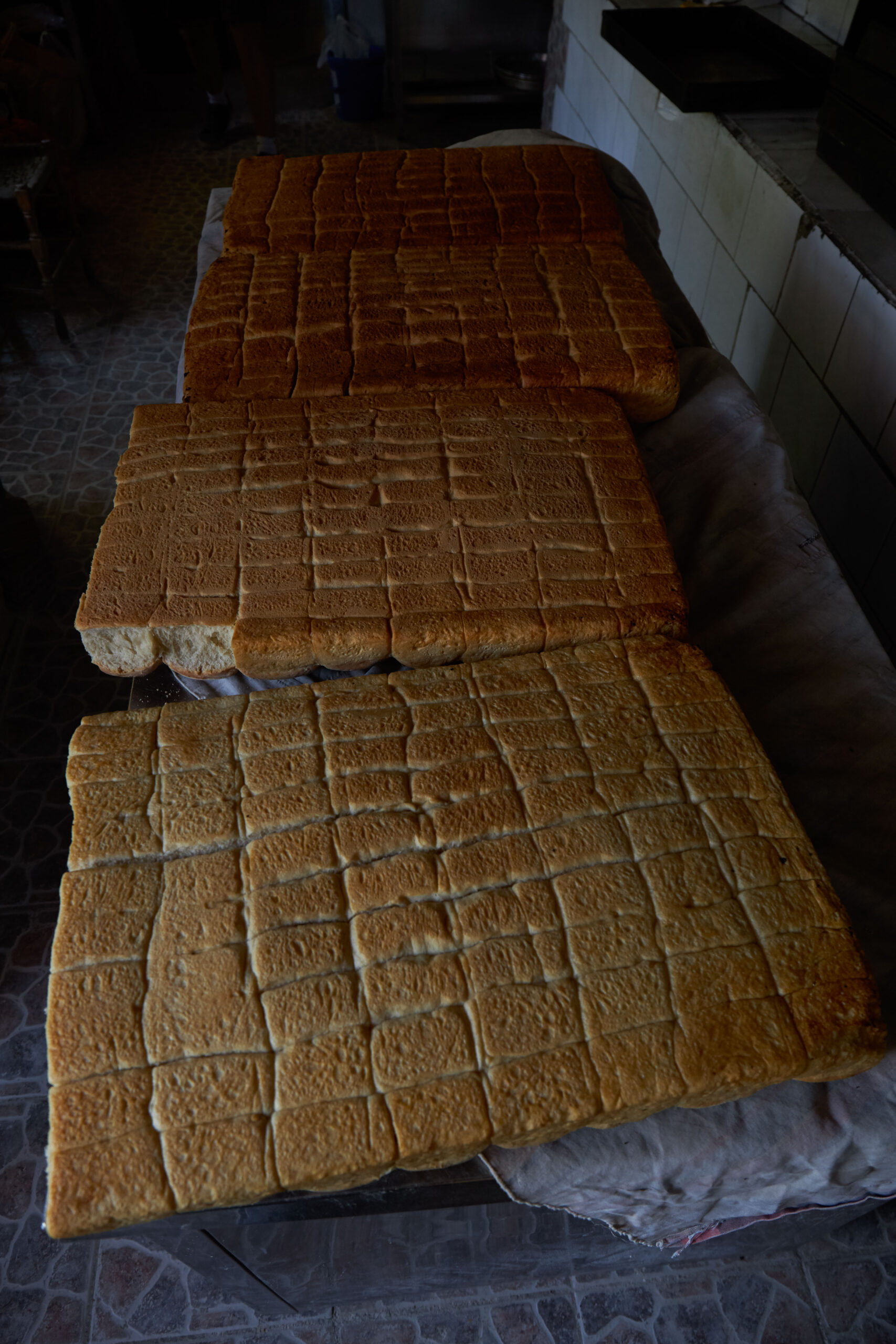
Especially younger generations, who, contrary to the past, nowadays also open their shops early in the day, not just from the evening hours onwards, as shop owners in Hristos, a village in the Raches region, have been renowned for doing. The story about the legendary bakery, at this same village, once a self-service shop at which customers would walk in, take a loaf of bread, leave the required amount on a tray and leave, has changed. Customers now pay directly to the owner, who is present. In addition, contrary to a widely held belief, Ikaria is not just about its panigyria – renowned all-night church-centered celebrations held by communities and open to all with food and live traditional music – even though these are important.
From rugged landscape to jungle-like nature
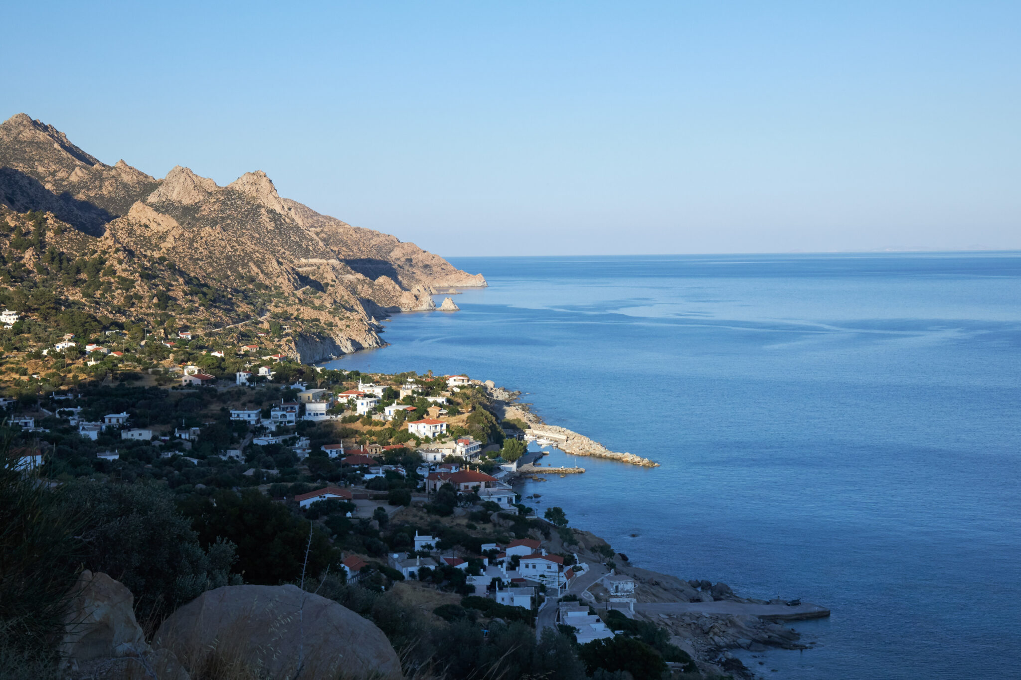
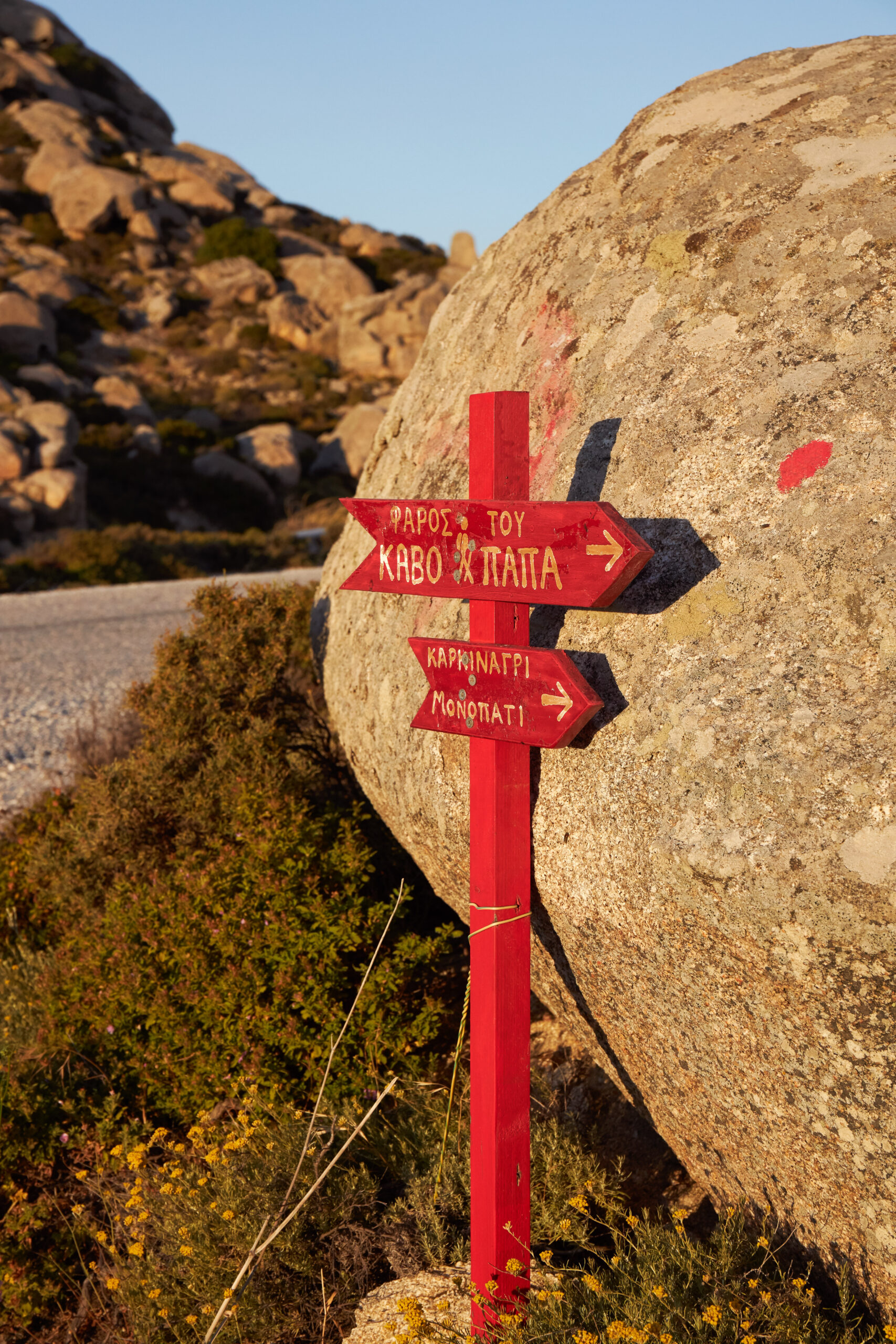
From high above – flights to Ikaria are offered, from Athens, by Aegean Airlines and Sky Express, and from Thessaloniki, via Limnos, by Aegean Airlines – aircraft passengers immediately notice that the island is not flat. Ikaria’s stretched shape features reliefs cutting into a 40-km ridge formed by Mount Atheras, whose peak is at 1,040 metres. The mountain is the dominant feature from an aerial view. The reliefs are shaped by mountain ranges, ravines, hills, cliffs and estuaries to the sea. A mosaic of reliefs runs from south of seaside Aghios Kirykos, the island’s capital, to well-known Kavo Pappa, a cape with a renowned lighthouse at Ikaria’s northwestern edge.
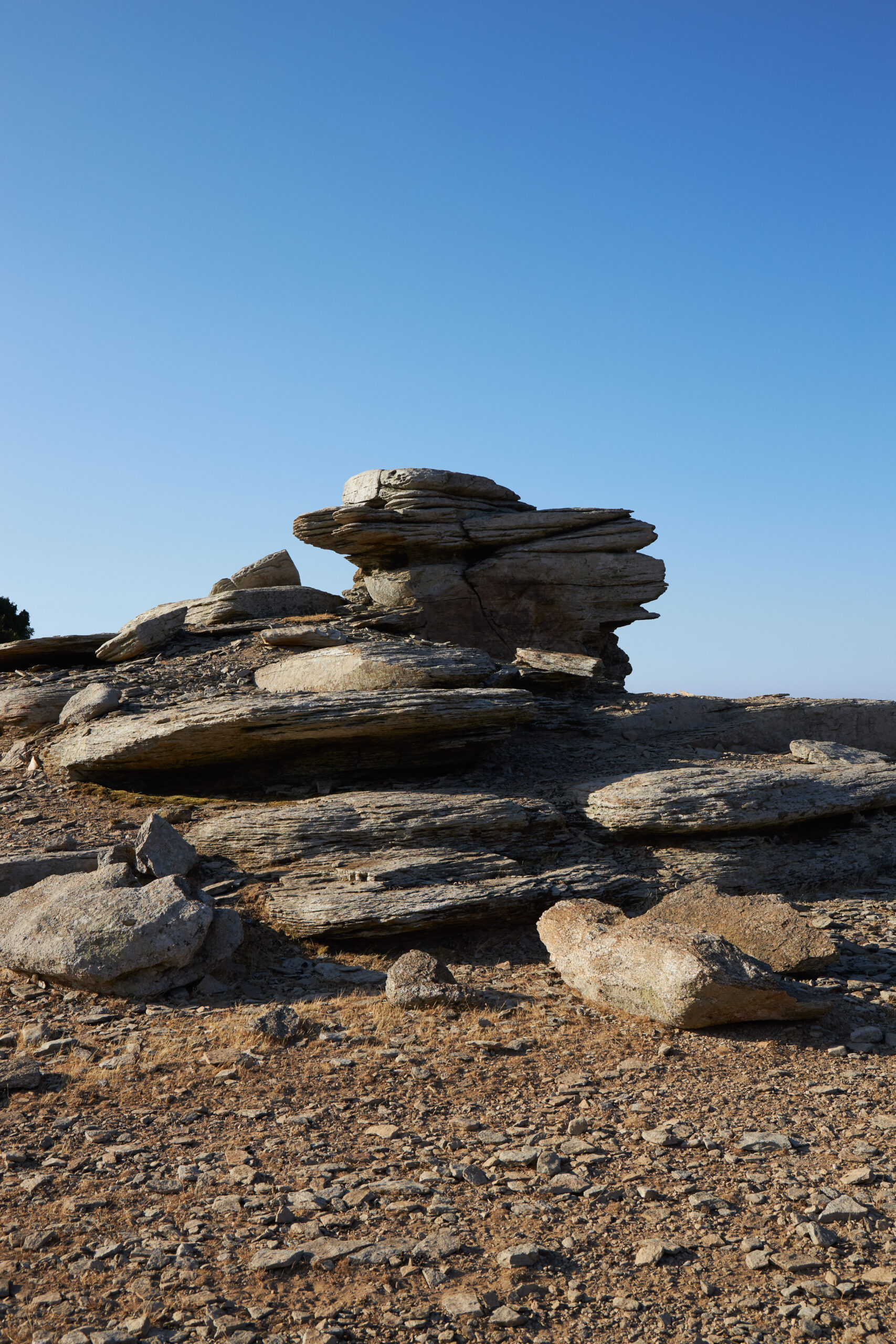
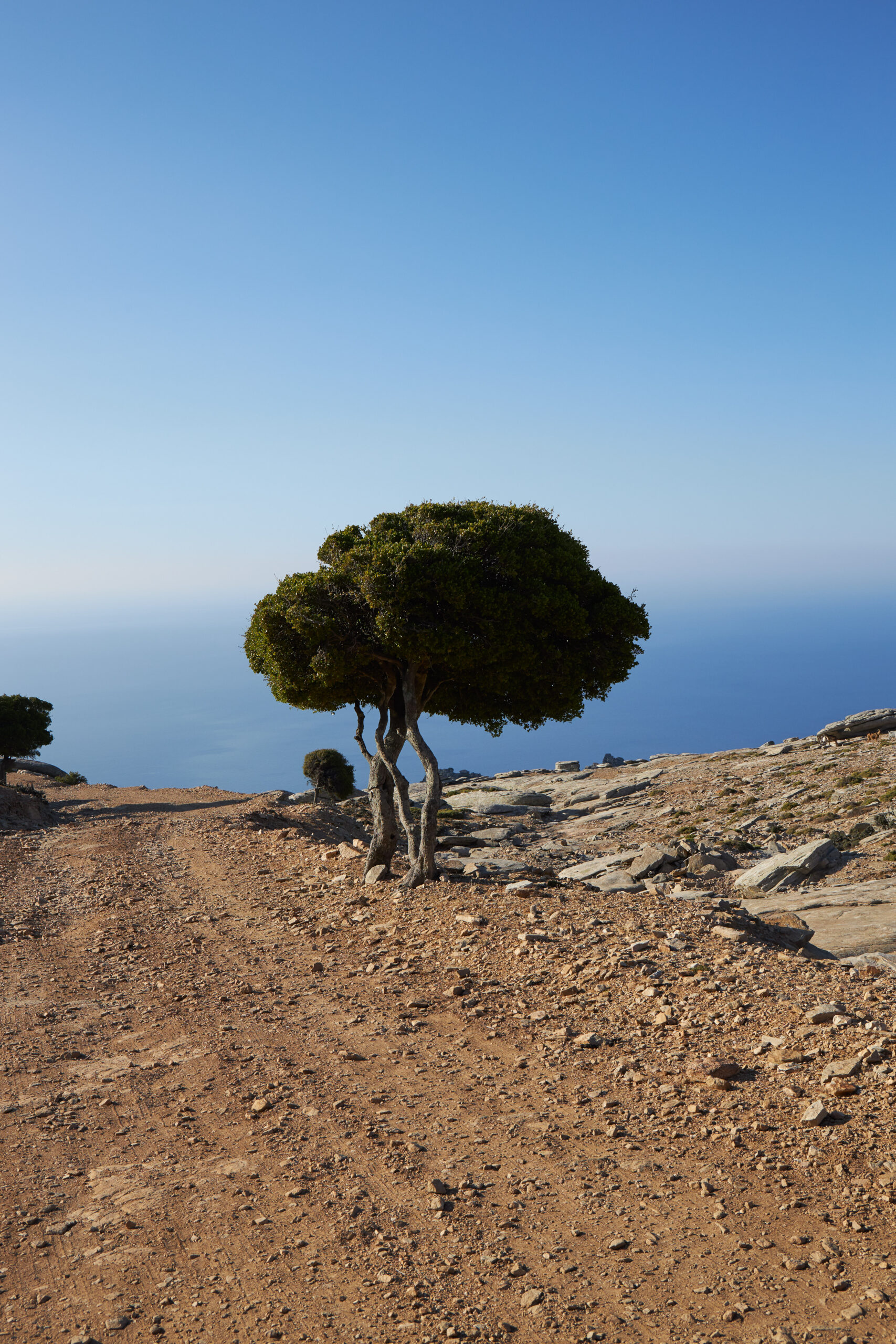
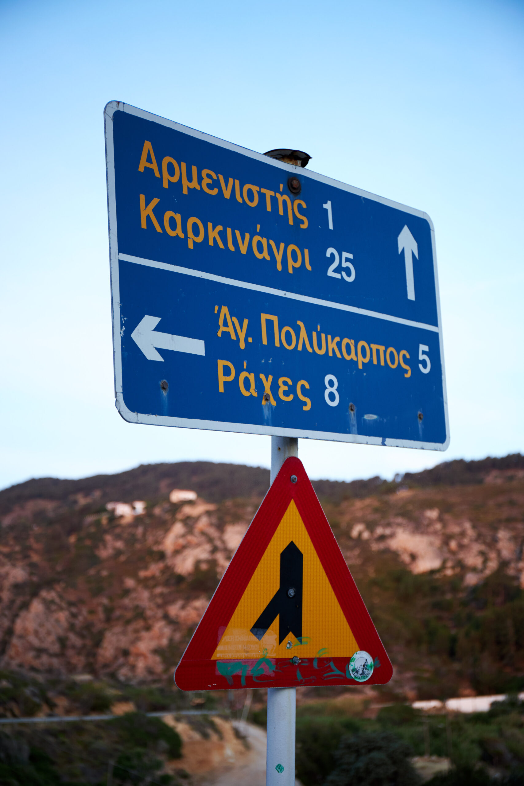
Driving from the capital towards the island’s popular, tourism-busy, commercial northwestern side of Armenistis and Raches, takes you through the following settings: a) naked mountains with beehives and thyme shrubs looking across at Fournoi islands; b) mountains with wind energy turbine until the road for Plomari; c) rugged landscape with cliffs, from Plomari and Monokambi all the way to Miliopo – if afraid of heights, avoid looking down below the cliffs in this area; and d) sudden landscape change for a lush setting of trees, springs and water running by the road as you head for Karavostamo. On top of all this, the rare rock varieties, from the slated schist in the south to the marble and limestone in central Ikaria, and granite on the northern side, are another feature.
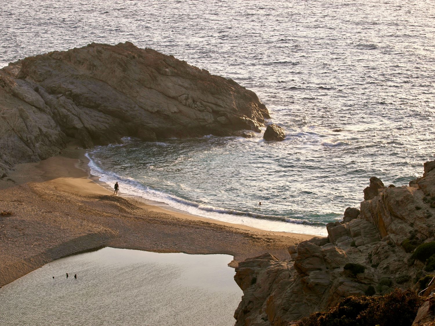
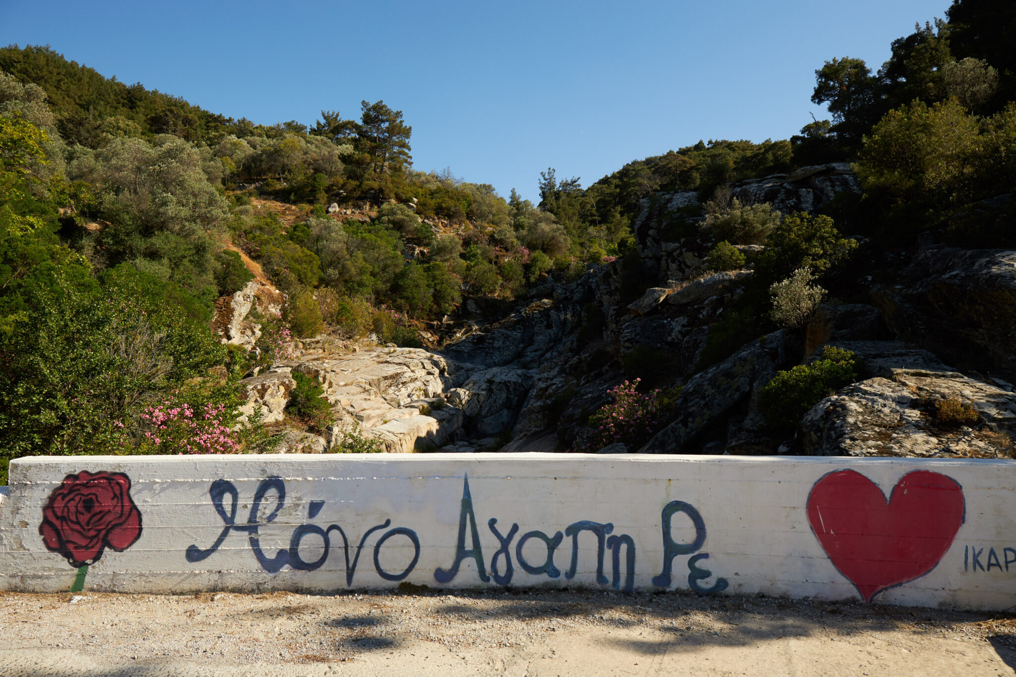
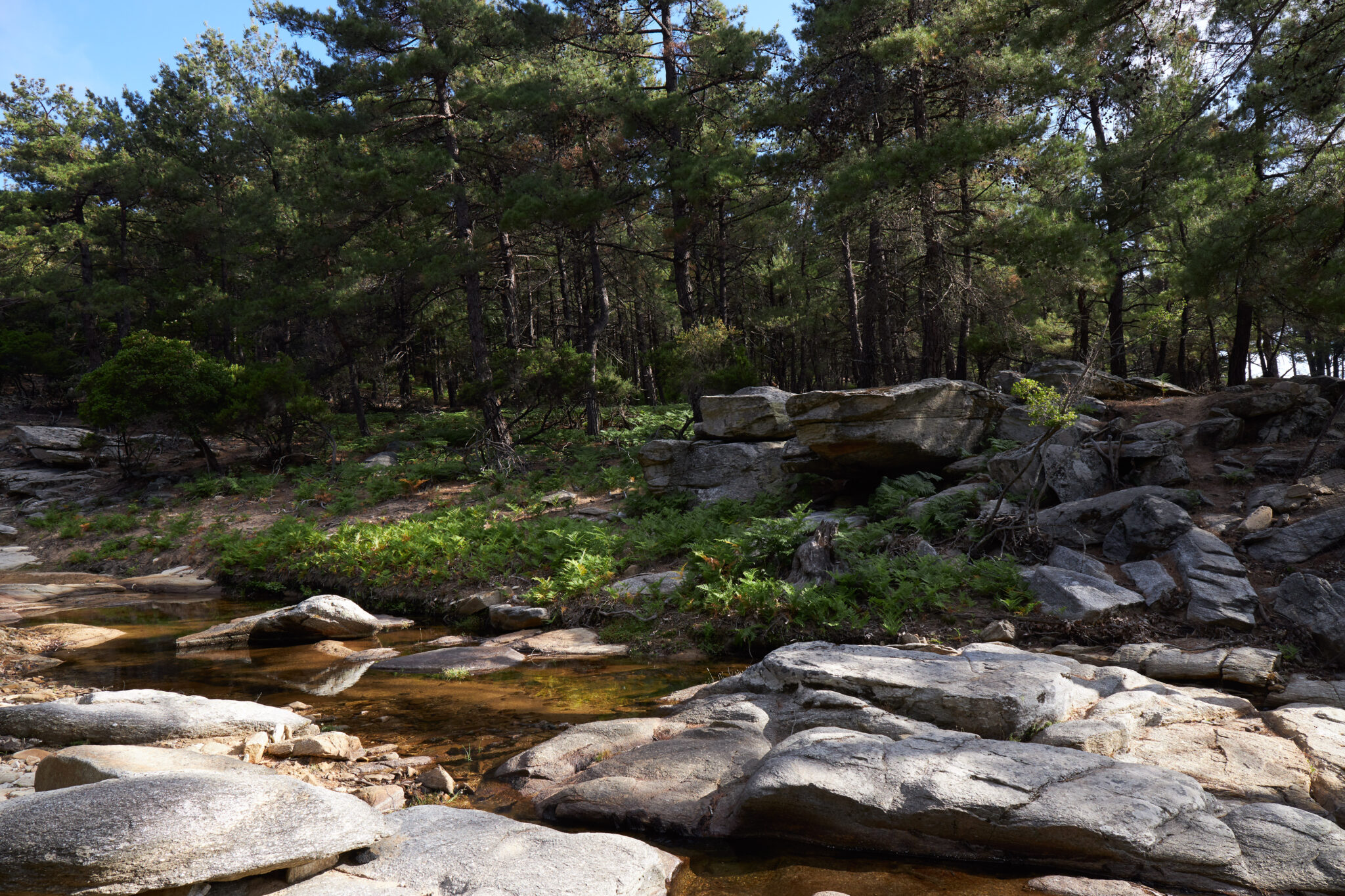
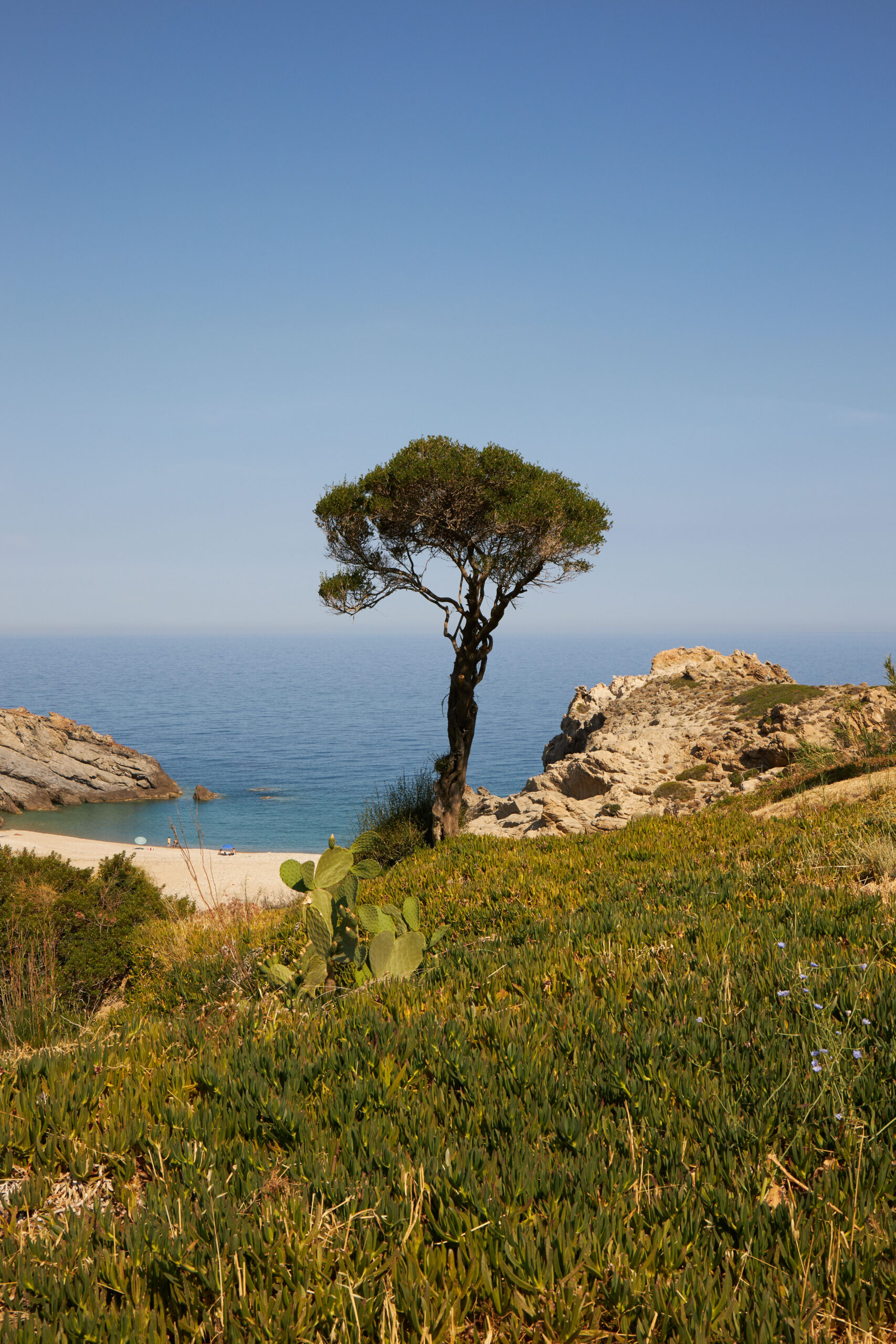
In the past, Ikaria was often thought to be barren as this was an island to which exiles were sent. On the contrary, the greenery becomes richer the further north you drive. The renowned Rantis forest, classified as an environmentally protected area, is filled with cedars. Visitors cannot enter unless accompanied by a guide who knows the entry and exit points. Carrying on, one encounters chestnut and pine trees along the way to Raches; the Nas cove, an estuary for the stream starting from the Raches mountains, designated a Natura area; biodiversity in the form of 1,100 or so herb types, found all over the island; rivers and dams that have created lakes in the northwest; and once, again, a barren, rugged landscape as soon as you turn from the north (see Pezi plateau and Aghios Isidoros) towards the southern side, headed for the villages Amalou, Kalamo, Trapalou Karkinagri and Magganitis.
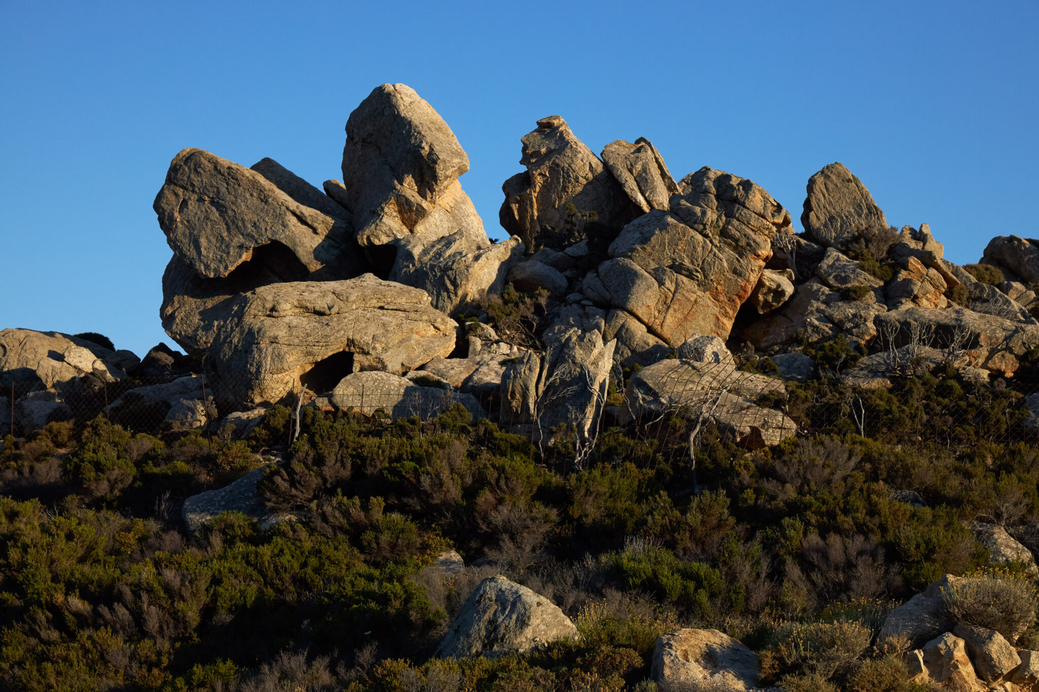
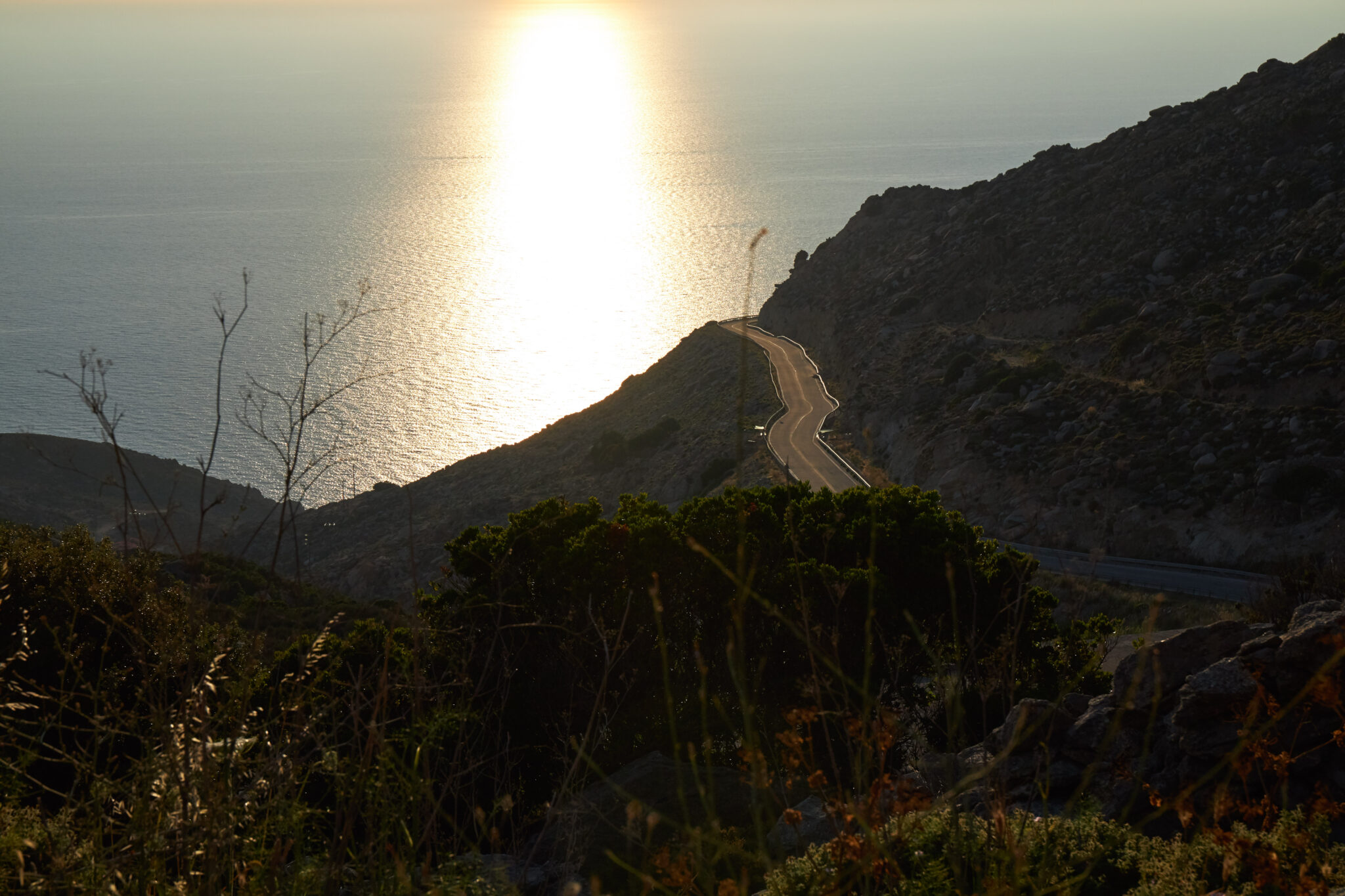
From these unbelievably elevated points, visitors typically take photos, captivated by the view stretching out towards the Aegean Sea’s horizon. Fully absorbing the amazing overall landscape, not to be found on any other island, is quite a task. Ikaria is definitely not just about its panigyria. The island is also about the nature and sensational settings that can also be enjoyed through a central geographical route linking Mesaria, Magganitis and Plagia. The roads here pass through barren mountains, prompting continual stops for photos. Gigantic rocks cling on to or sit at the slopes, as if they have fallen from the sky, bringing home the thought of mankind’s tiny presence against nature.
The south, thermal springs and Seychelles
The island’s boat routes are managed by Blue Star with its Blue Star Mykonos ferryboat servicing the Evdilos port, and Hellenic Highspeed – a new addition this year – Blue Star Chios and Diagoras servicing the Aghios Kirykos port. If you travel to Ikaria without a car, rental arrangements are advised. The island is big. A short stay of three days or so is definitely not enough. A five to ten-day stay is necessary for a better picture and richer experience. The large island’s weather conditions vary from north to south. The same goes for its winds and landscapes. In the south, from Aghios Kirykos, head to Faros, and, just before, Ai Giorgis, featuring incredible little beaches. Also visit Byzantine-era Drakano and Aghia Kyriaki. In the east, go to Therma, featuring potent and effective thermal springs. The spa facilities here have not been modernised. Continuing in a direction headed towards Magganitis leads to Lefkada, Hrysostomo, Xylosyrti, Livadi, Varvarades and Plagia.
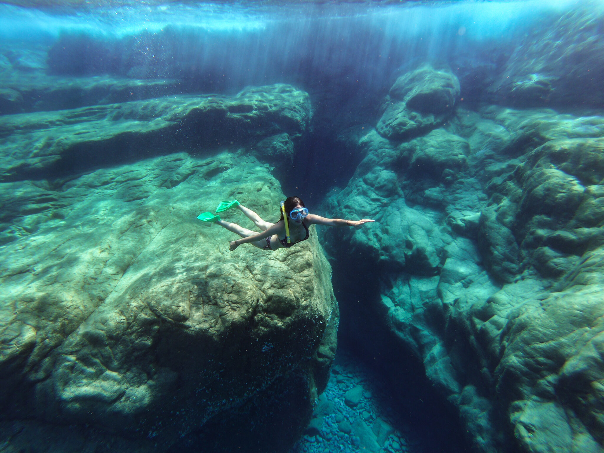
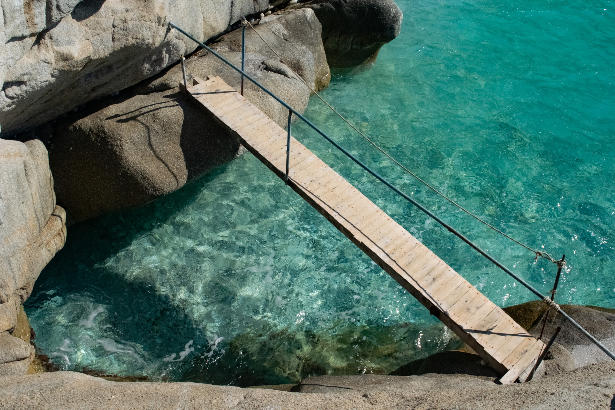
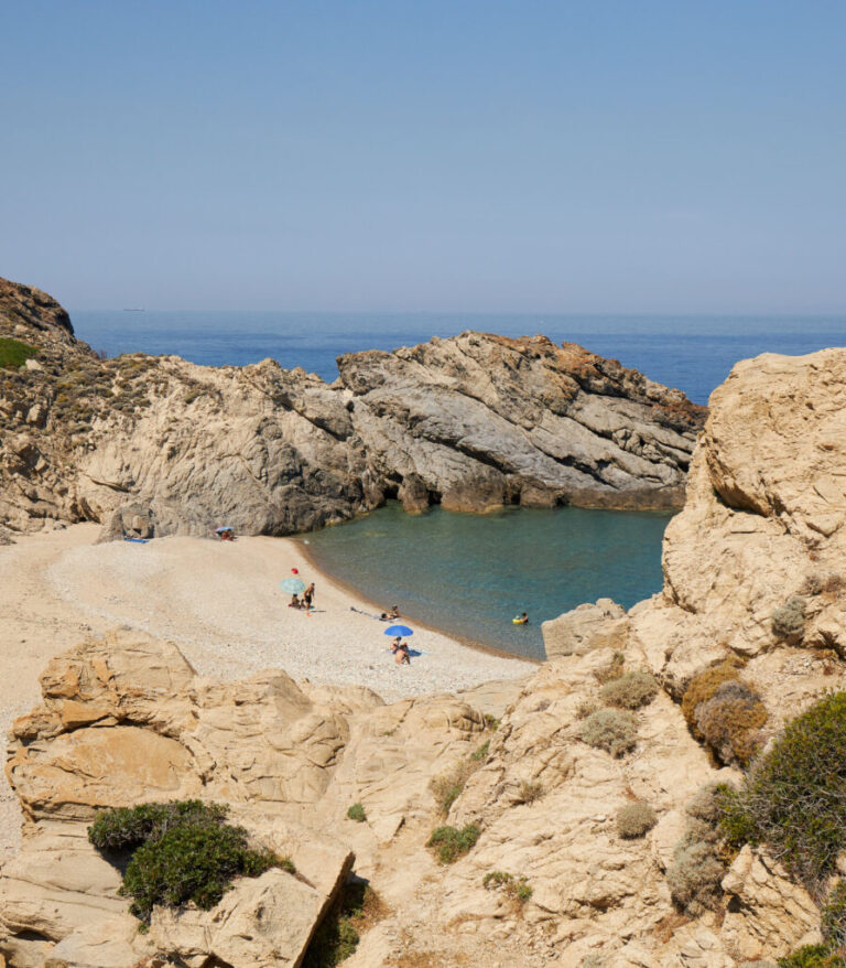
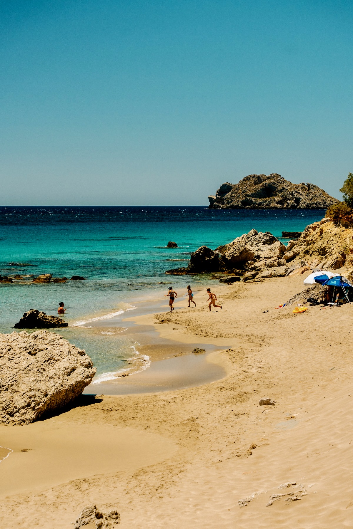
These villages, primarily appreciated by locals, do not possess tourism-related accommodation. They have little traditional cafes and houses that enjoy magical views of the horizon as they are perched at elevated spots on the slopes of the mountain. The villages lead to the well-known and so-called Seychelles beach, given its name by locals, always ready to give surreal nicknames to various things on the island. In the case of this beach, it was formed unintentionally when a mountain tunnel, above this beach location, was dug out and the resulting rocks tumbled down the hill, creating access to a new beach. Surrounded by incredible white rocks and featuring crystal-clear emerald waters, this new beach seemed exotic to Ikarians – and still does – prompting them to name it Seychelles. They do as they please. Despite the uneven descent and strenuous climb back up, this beach gradually drew increasing numbers. In response, a local from nearby Magganitis began providing boat service. Upon arrival, he hands out bottles of water to his passengers, at no extra cost. They can be handy as there are no canteens here. If you get here after midday, finding an empty space on the beach can be a struggle requiring patience. But, in the end, after a swim in these incredible waters, you too can claim that you made it to Seychelles in your lifetime. Nobody will check your passport.
The north, Messakti, currents and surfing
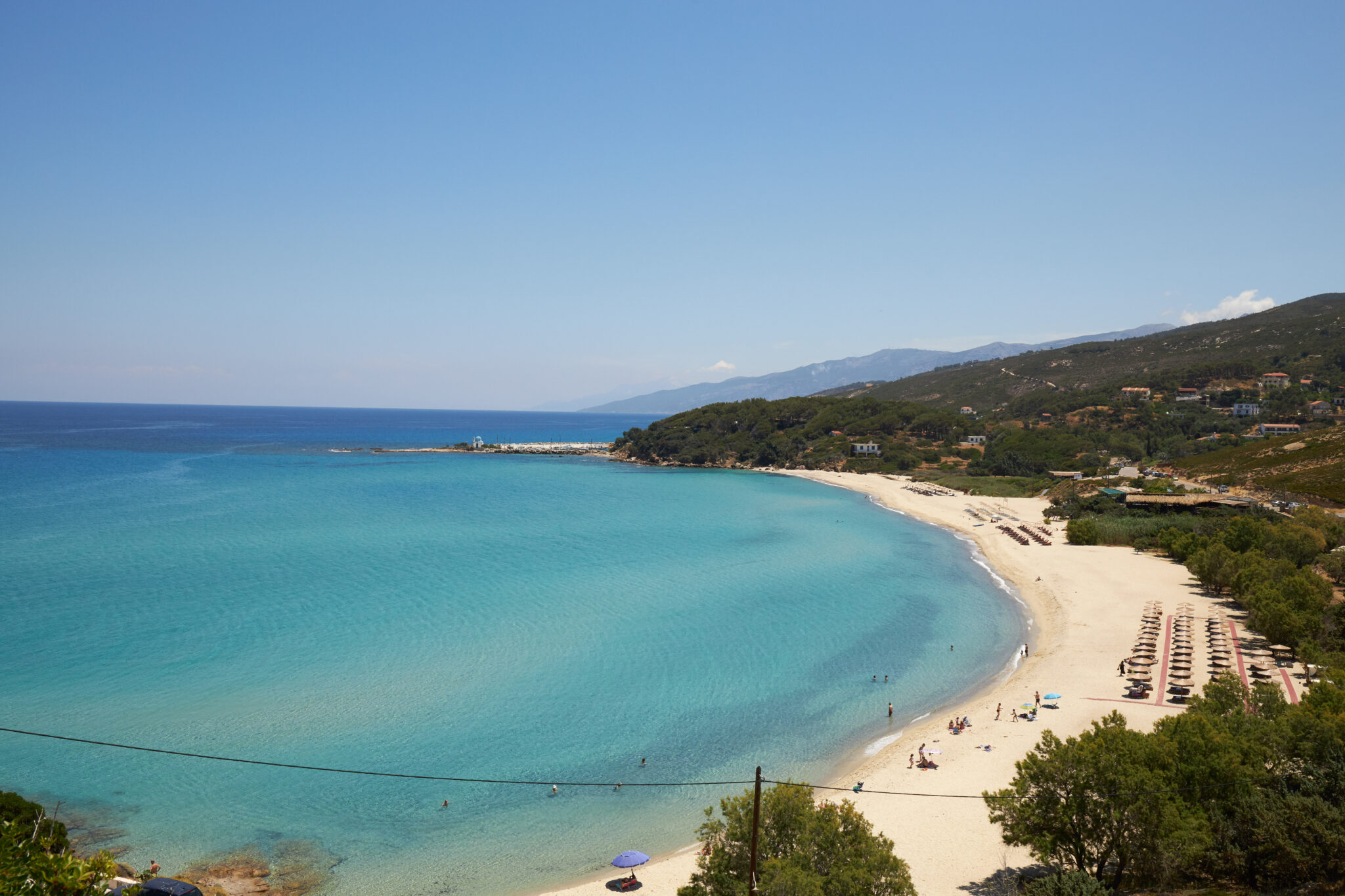
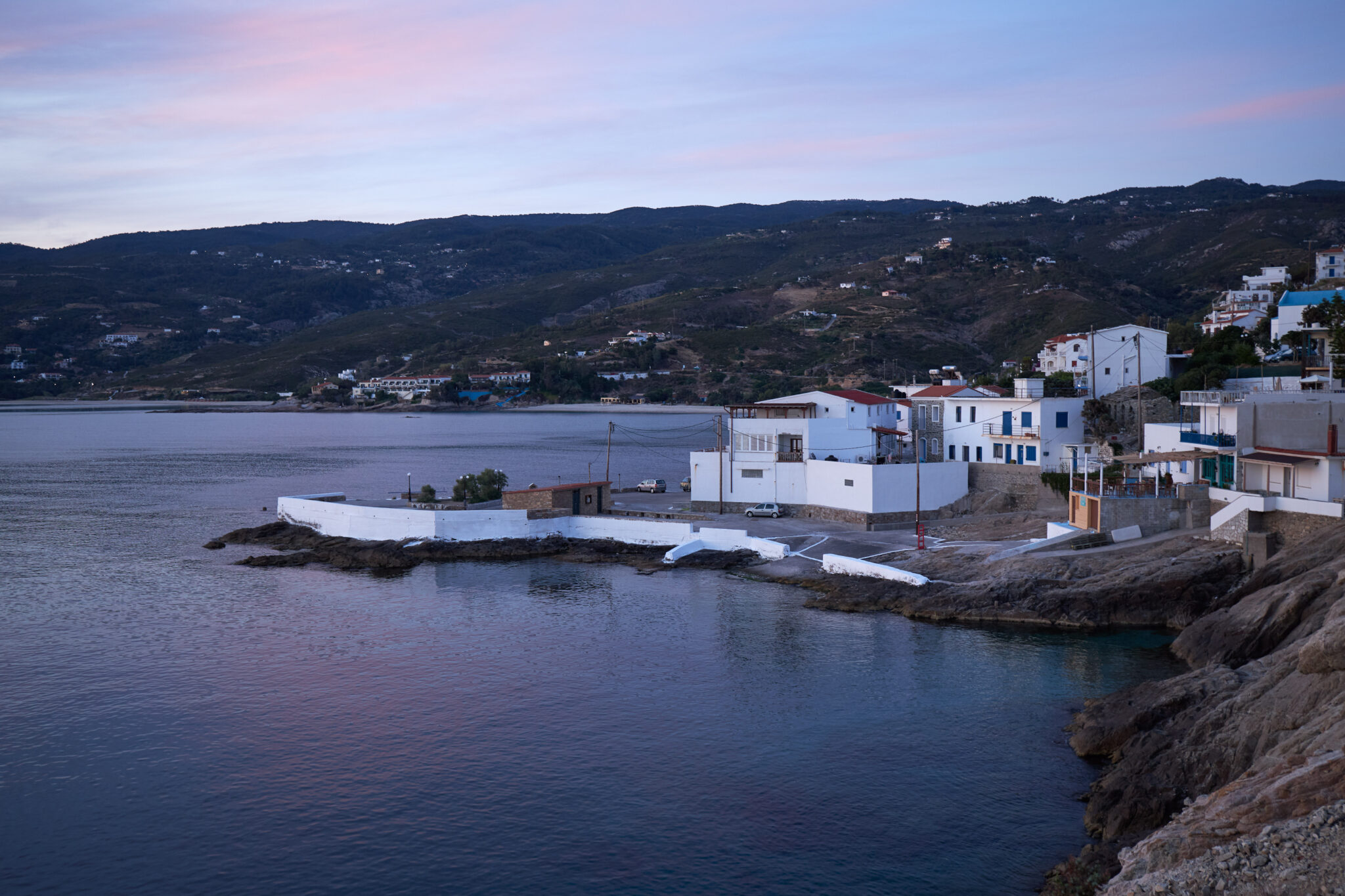
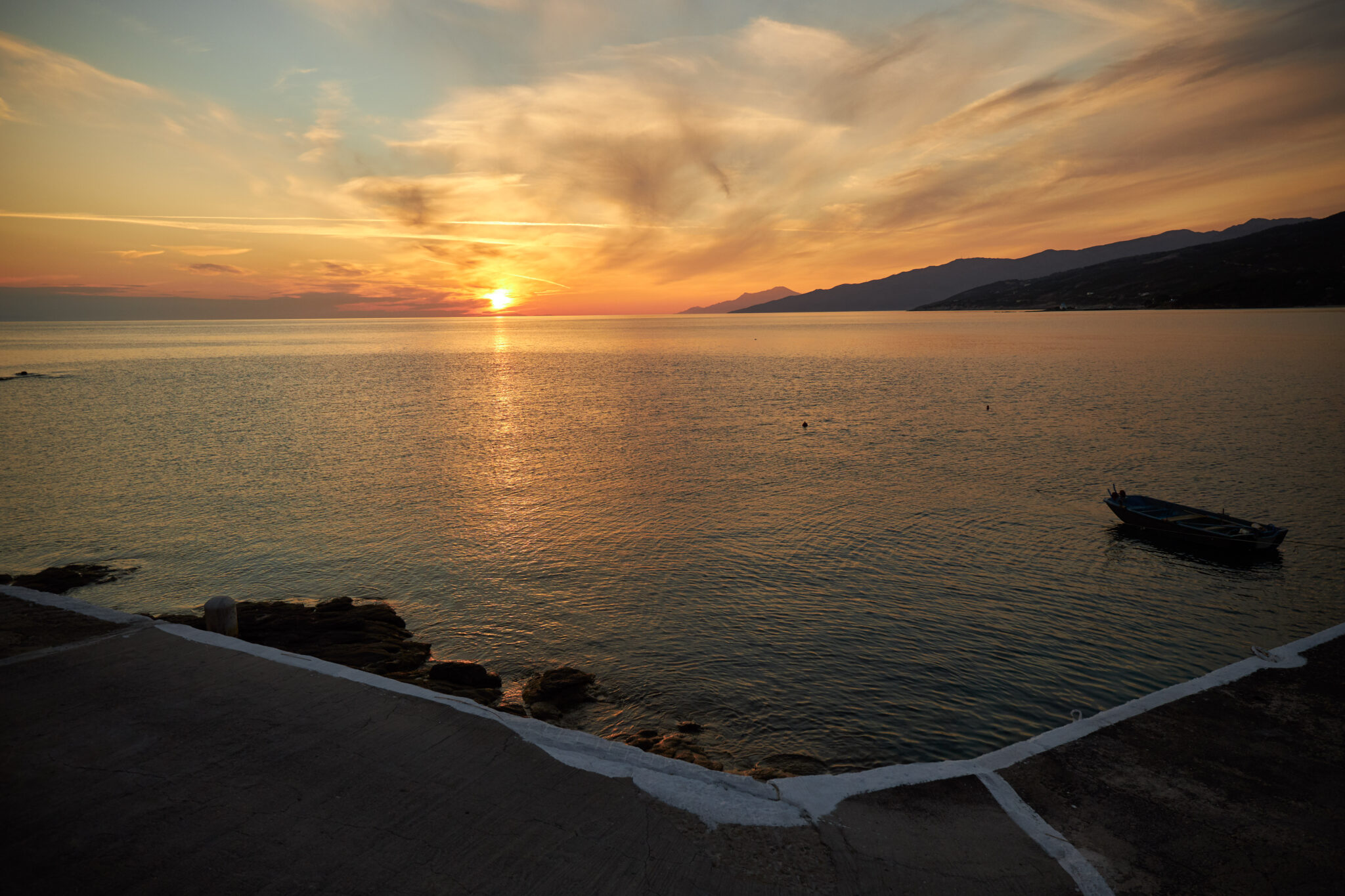
Ikaria’s north, according to locals, is the area that begins from the island’s other port, Evdilos, all the way to the Papa cape. A road trip from Evdilos passes through Fytema, Kambos, featuring a lovely beach for swimming, Kalamorida, Avlaki and Gialiskari, where the combined setting of sunset, little boats and new seas, for visitors, starts taking effect. Suddenly, as you turn from Gialiskari to head towards Armenistis, you are overcome by a sweet dizziness upon encountering the beauty of the mountain river spilling out into the sea at Messakti beach. A photo stop is inevitable here.
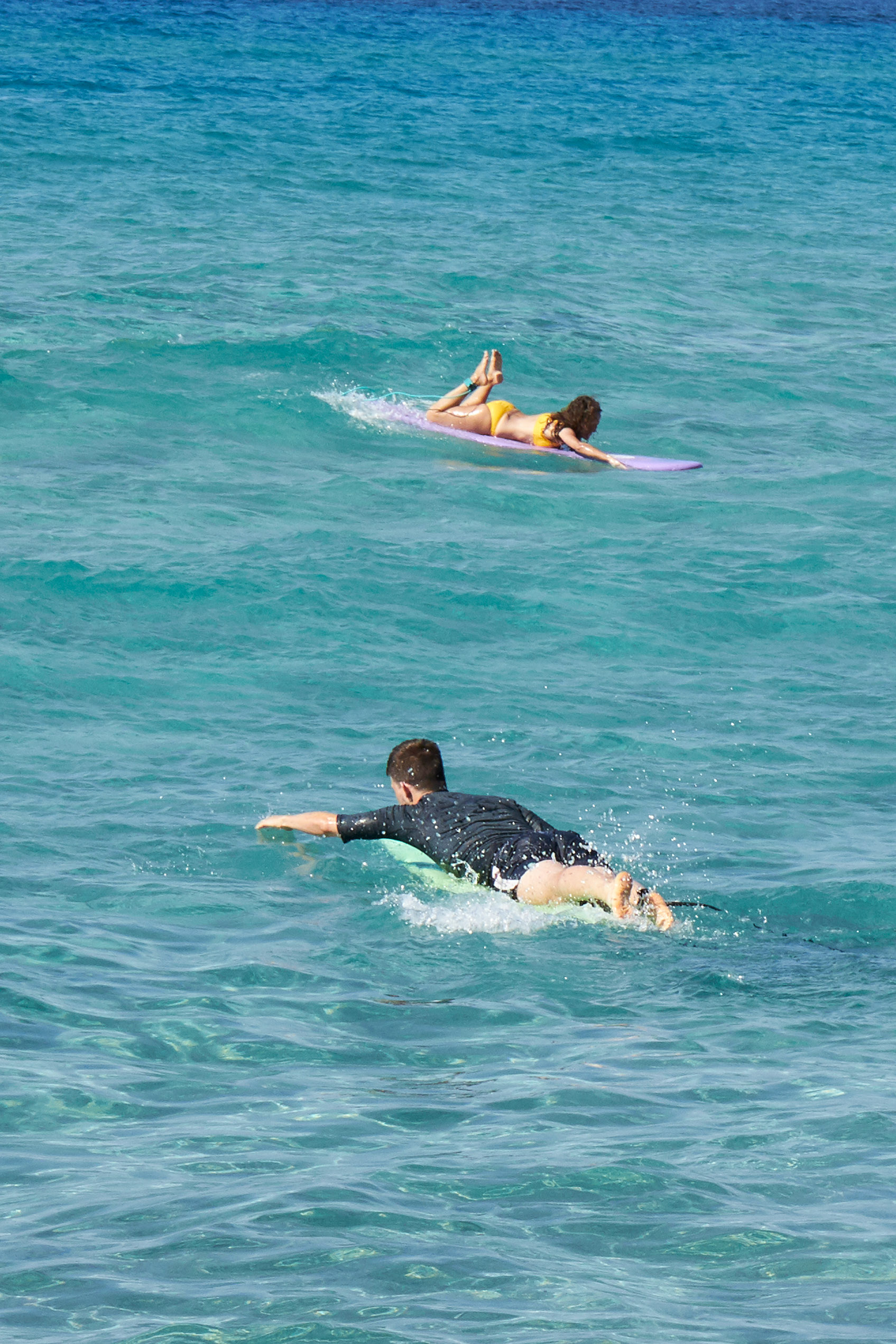
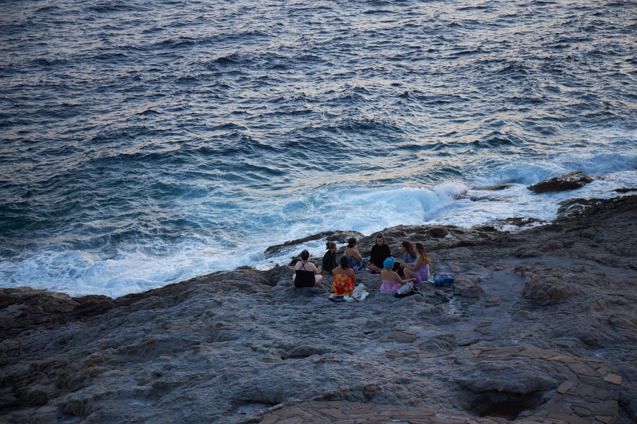
One of the most beautiful yet, at times, dangerous beaches of the Aegean Sea, Messakti has four beach bars, hosts beach volleyball tournaments every summer, is serviced with sunbeds and beach umbrellas, provides a surfing school run by cool and likeable sorts from all over Greece, and last, but not least, has notorious waves. Enter the water with caution at 7 Beaufort (28-33 knots), if competent. Simply do not enter at 8 Beaufort (34-40 knots). Lifeguards patrolling the area will probably not allow you to enter under such weather conditions, when strong currents can take you on a drift deep into the ocean. Only the captain of the Blue Star Mykonos could save you in these turbulent seas, should the ferryboat headed for Athens’ Piraeus port be sailing by. The waves and images are entirely Hawaiian-tropical at Messakti and very similar at the adjacent beach, Livadi, which once had an upper edge in terms of visitors but eventually fell out of favour for being regarded a little old-fashioned. It remains a lovely beach, nonetheless.
Armenistis, Raches
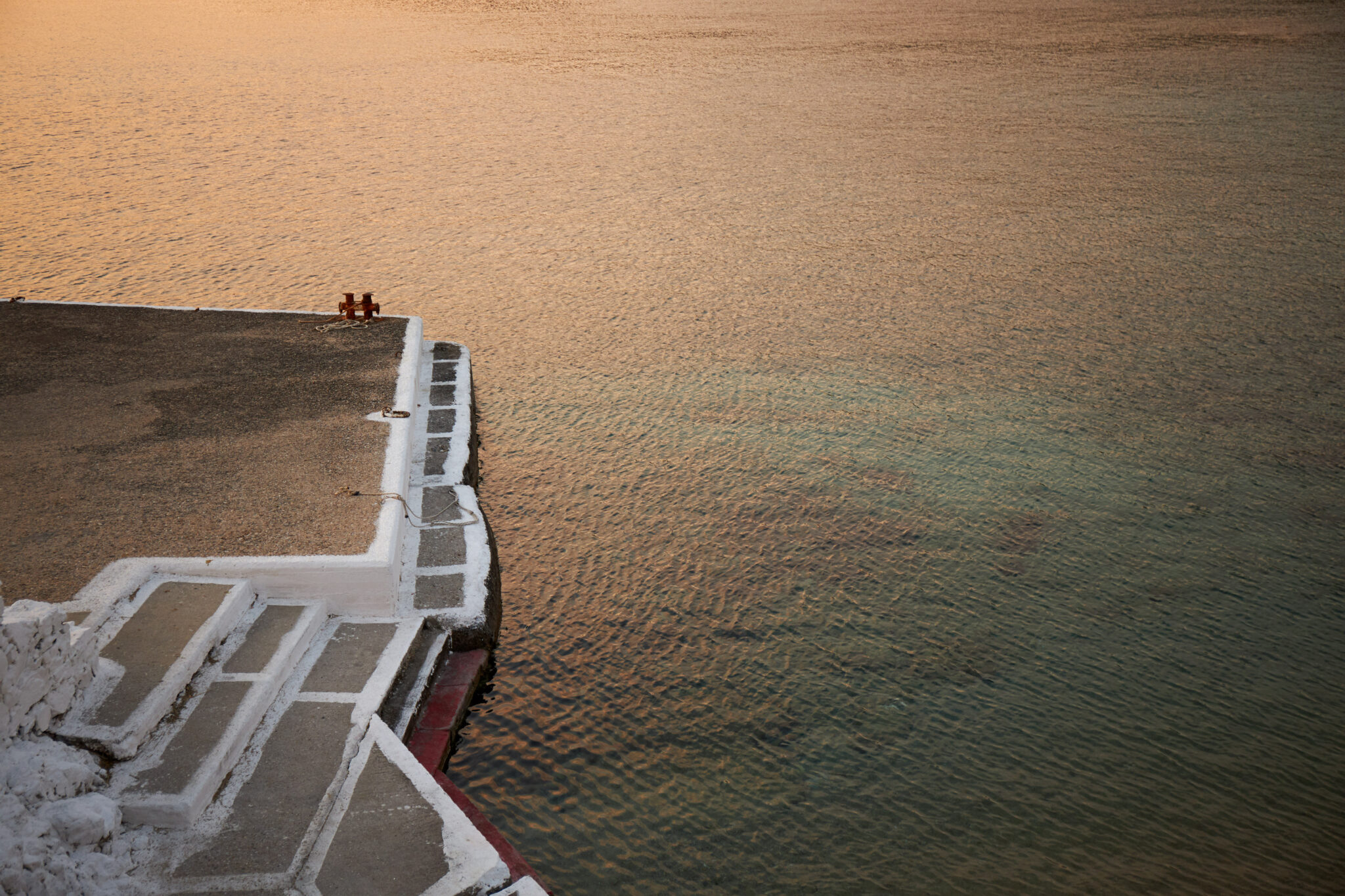
Up until the 70s, ferryboats exclusively moored at Aghios Kirykos. The first thing visitors would see were the words “Welcome to the island of Radon”, written on the jetty wall, a reference to the chemical element that is abundant in the rocks of the island and considered responsible for the healing properties of its springs. When, after many years, Ikarians realised that the radon reference could frighten visitors by being mistakenly associated with radiation, leading them to believe that they have reached the island of radiation, they replaced the welcoming words with “Welcome to the Island of Icarus”, and were all set for business.
In those days, Evdilos was not a port facility. At Karkinagri and Armenistis, disembarking ferryboat passengers needed to step down rope ladders onto boats to be taken ashore. Their luggage and anything else that could fit onto these little boats, including passenger motorbikes, for example, would follow. This was definitely a legendary period in the era of Greek ferryboat service.
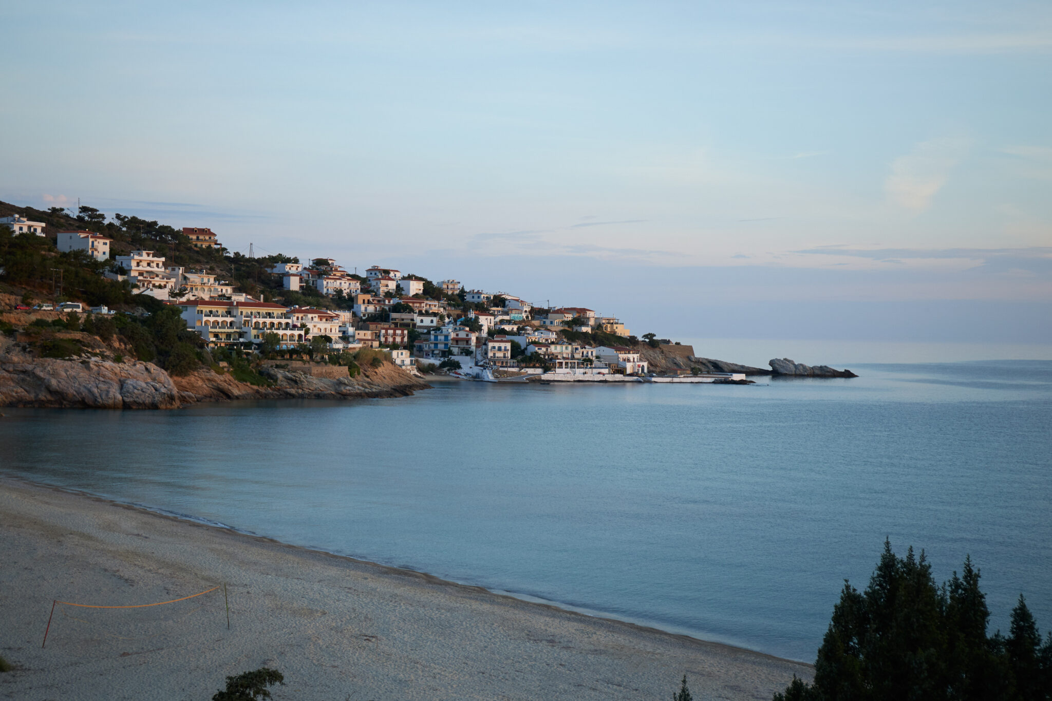
This is what made Armenistis famous as a destination, while Karkinagri, remote and rugged, gained less fame. Armenistis went from being a fishing village with a pier and two small tavernas in the 70s to a leading destination on Ikaria in the modern era. Koutoukakia (small low-profile tavernas), modern restaurants, bars, cafes, hotels, rooms for rent, supermarkets, ATMs nowadays make up the scene at Armenistis, along with an idyllic view towards the beaches and sea.
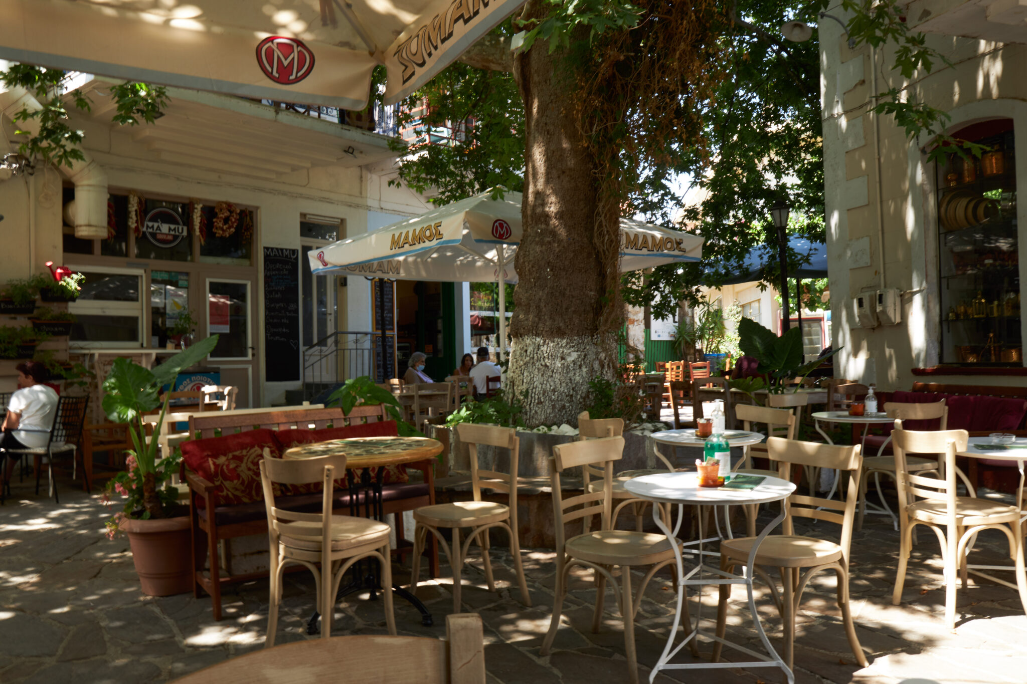
Armenistis gradually began serving as a port for Raches, a complex of beautiful mountain villages named Aghios Dimitrios, Aghios Polykarpos, Kastanies, Tragostasi, Hristos (the best-known of the group, and the regional focal point), and, further north, Karydies and Profitis Ilias. The nature at these spots is impressive. They feature cobbled paths, plane trees, tavernas, bars, and confectionary stores. The village Hristos became widely known for the odd business hours of its shops, which opened only at night. They continue to be open at night, including the village supermarket, but are nowadays also open in the daytime, which has put an end to the myth.
Drink and philosophise
Ikarians go by the motto of “get intoxicated and philosophise”. The world-renowned effort to explain the longevity of locals results from good nutrition, tranquility and a laid-back approach to life, free of worries. Despite knowing how to live life to the full, Ikarians, physically strong, do work, and they work hard. They tend their land for vegetables and maintain beehives, all over the island, for very good honey, a prime-quality variety named anama, made with heather (erica), that is orange-coloured and thick.
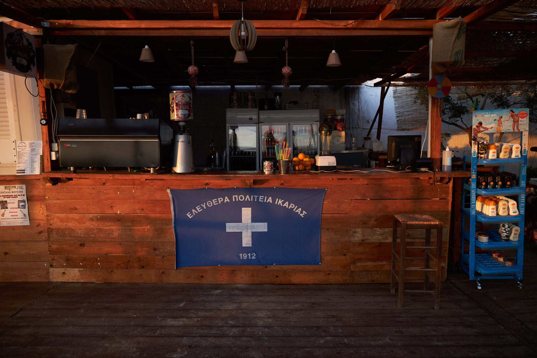
The locals adore their island and can rarely readjust to urban living in Athens. “I have not seen Ikaria, I keep discovering every day,” a local approaching 90 has noted, encapsulating the deep connection of Ikarians with the island. The islanders are self-sufficient. If their local economy was the size of Crete’s, they, too, would talk about wanting to become an independent state. In fact, Ikaria did experience a brief period of independence, in 1912, for a few months, during which they came up with an anthem and flag. In 2012, this period’s centennial anniversary was marked with the distribution of related t-shirts, flags and banners that were snapped up in no time.
Men often take off to work as sailors and, when returning to the island, unleash incredible one-liners philosophising life, and death, while enjoying a game of backgammon at the local café. At the same time, they feel respect for Ikarian women, beautiful and possessing leadership qualities. The women are the family leaders. Ikaria, as a result of various factors, including historical, has remained an island with a matriarchal structure in society.
The women also cherish their freedom and a relaxed attitude to life, as is mutually desired. In social life, an alternative economic model is applied. Nobody is ever left cash-strapped. In times of need, locals can always be counted on to mobilise and organise a fund-raising event that could be a panigyri, a spaghetti dinner or a loukoumades (deep-fried dough drenched in honey) offering, with financial contributions from all participants for the fellow human in need. The Ikarian way is a rare sociopolitical mix of influences shaped by views, cultures, history and nature. This island has become a case study, both in Greece and for researchers abroad. It is more than just a place. It is a life choice.


