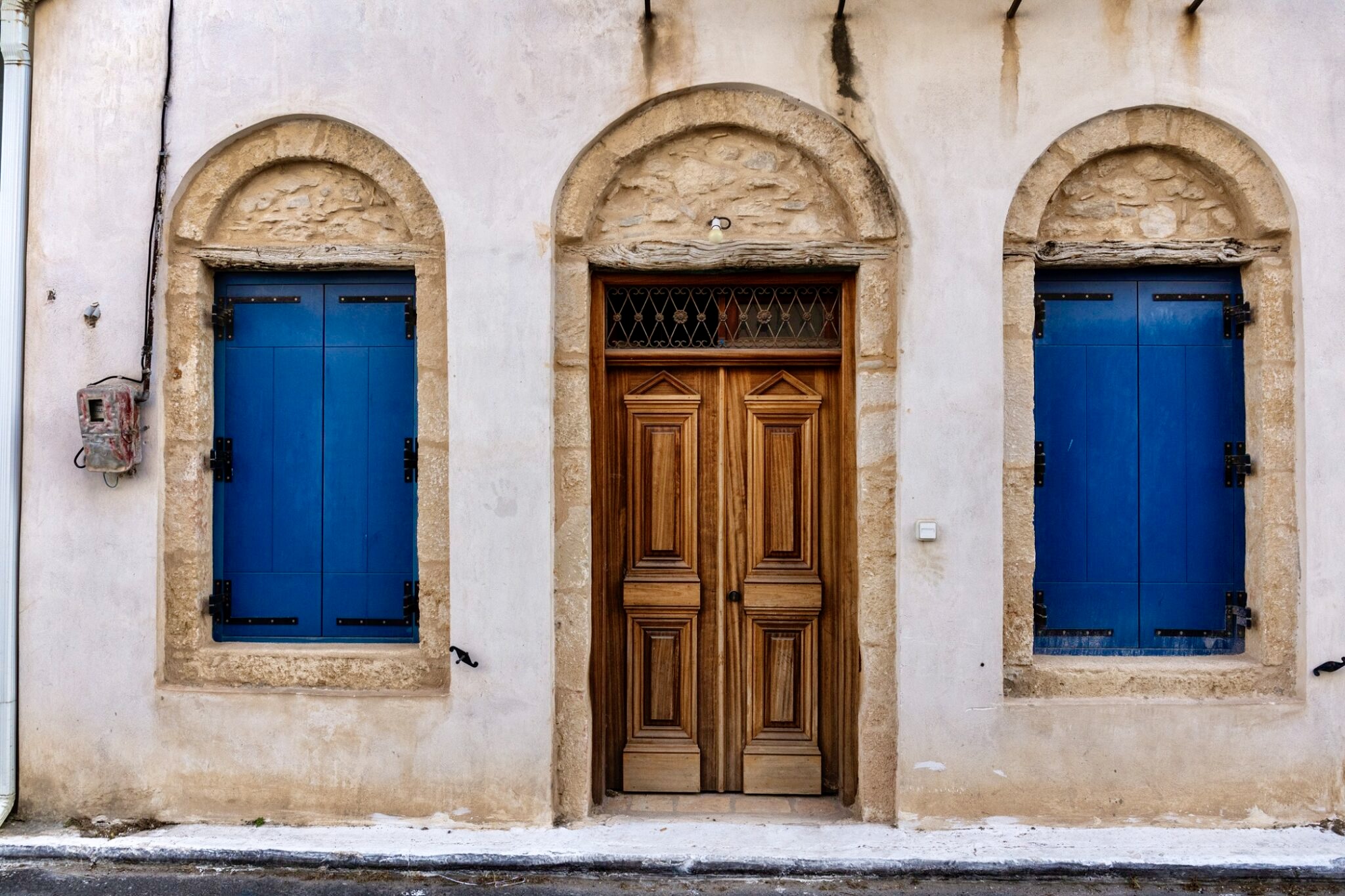
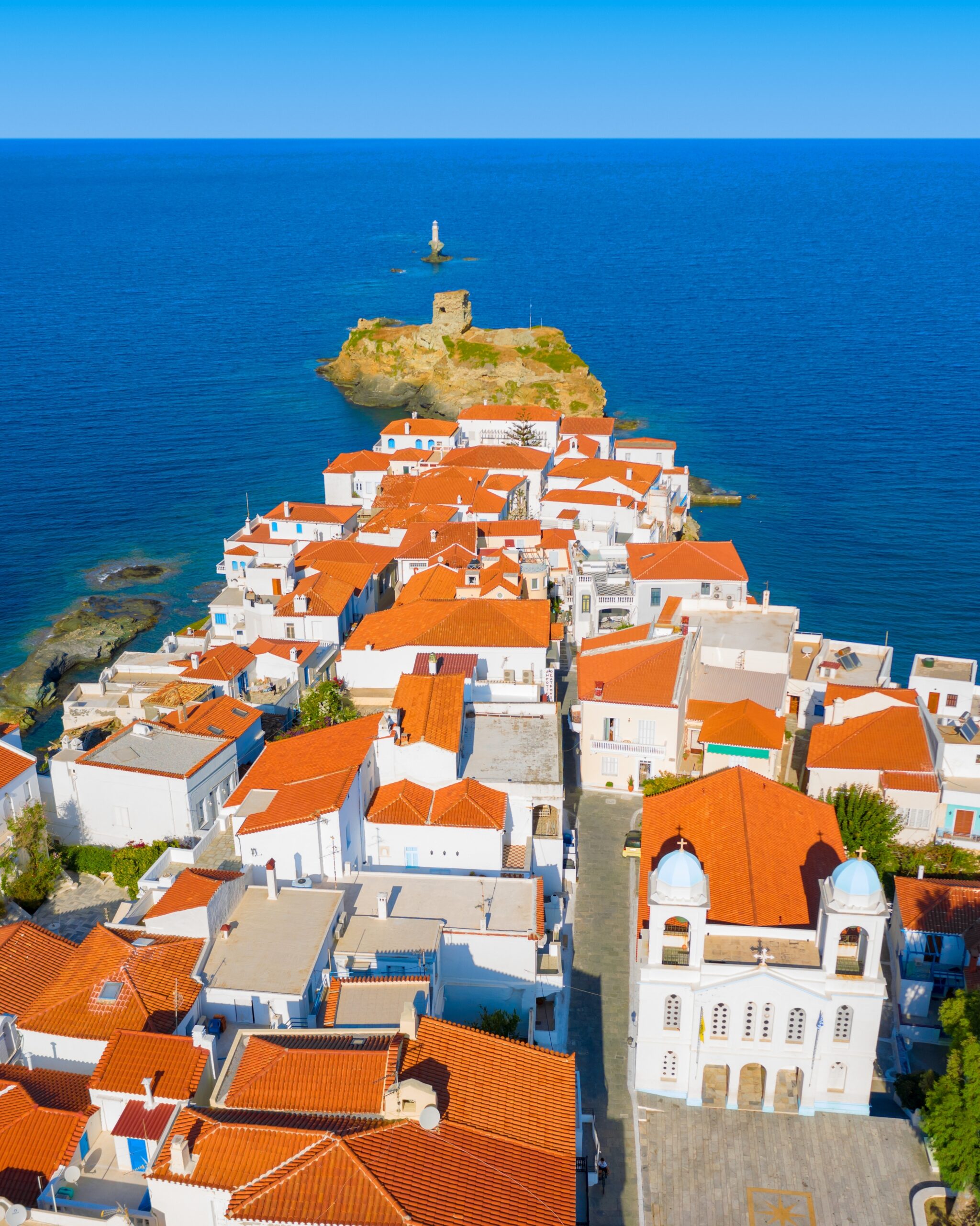
High mountains whose peaks are often lost within the clouds. Cool, clear spring waters gargling down gorges and gullies dotted with watermills, waterfalls and rock pools, hidden in jungle-like vegetation. Beautiful mountain villages with traditional architecture, stunning Aegean views and beautiful beaches separated by imposing, rocky and wild coastlines beaten by crashing waves. And yes, all of this and more on an island in the Cyclades! The more? Castles, chapels, monasteries, dovecots and towers which stud the beautiful countryside of Andros. The jewel in the crown, Chora, has a rich past that’s is reflected in its cobbled alleyways and streets, the captains’ mansions and the magnificent neoclassical buildings.
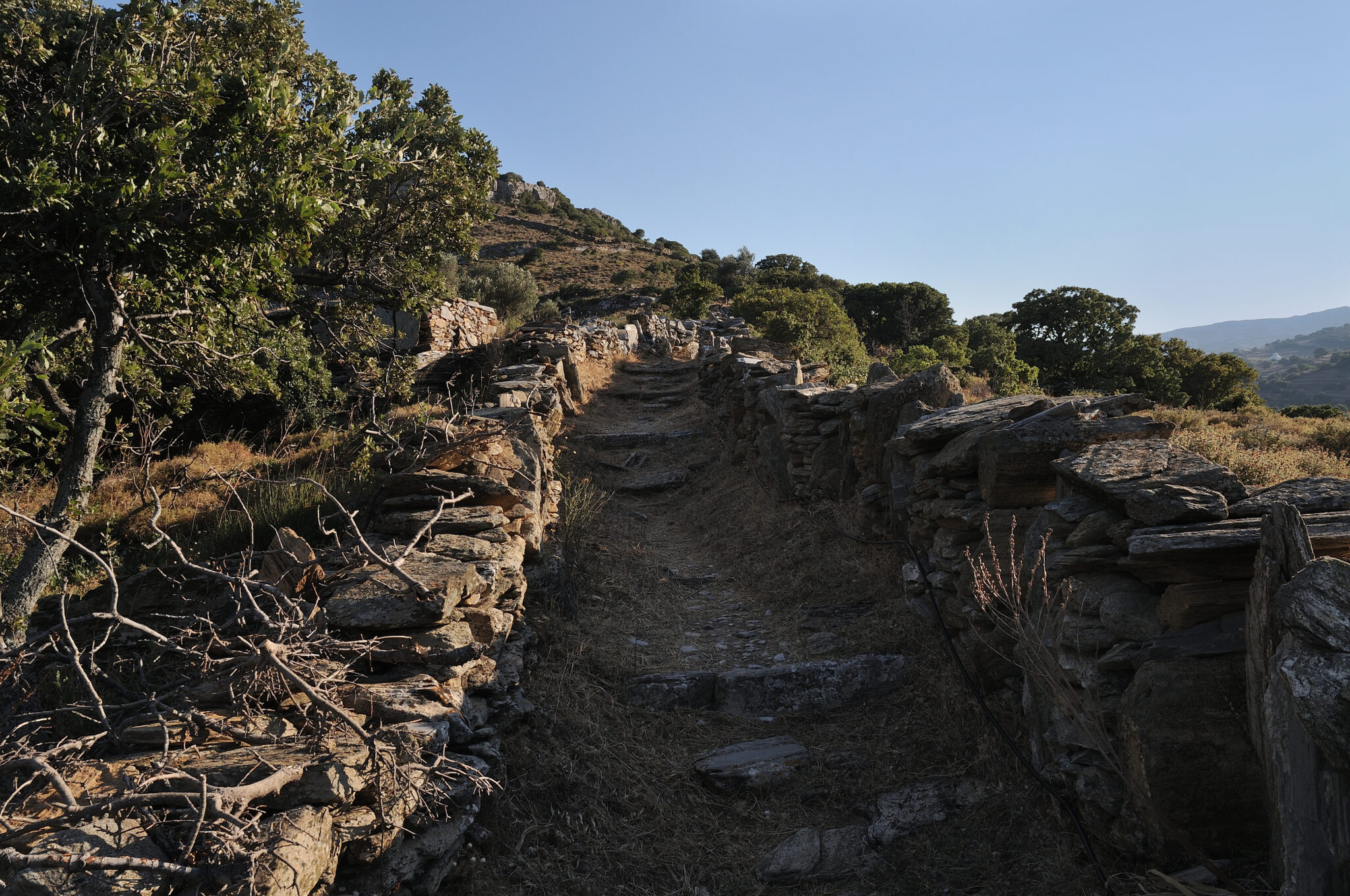
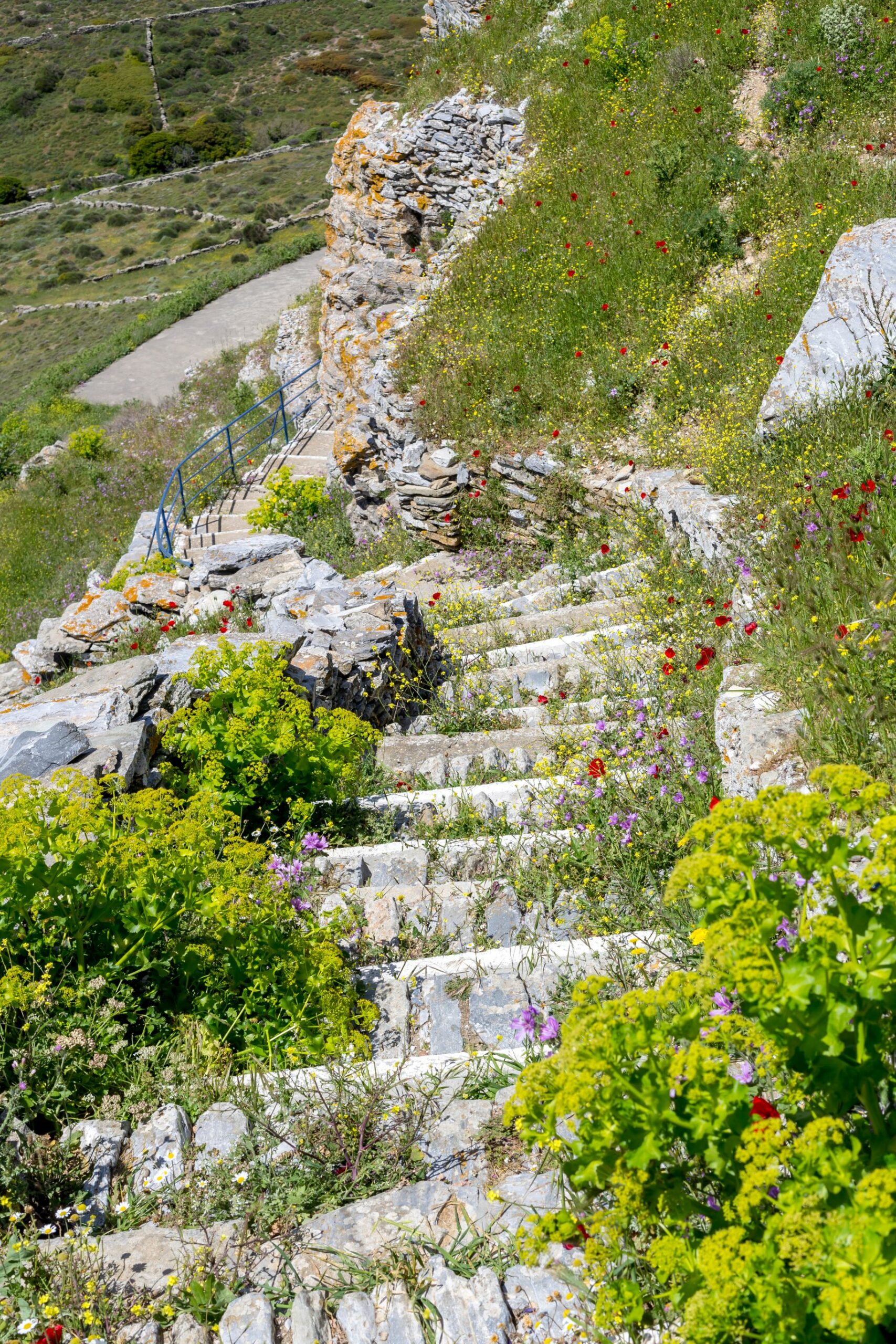
Andros‘ cultural identity is not limited to its archaeological sites, evidence of 6,500 years of habitation, but also Byzantine churches, monasteries and other monuments of the past. It is also home to many remarkable museums, libraries and institutions that organize excellent exhibitions, artistic and cultural events, which themselves attract visitors from far and wide. To add to all this, in recent years, the vast network of gorgeous old pathways (calderimia) zig-zagging 160 kilometres around this island of unique beauty, have been cleared, making Andros one of the top destinations for hiking in Greece.
Here are some of the best routes to explore when on Andros
Ano Aprovatou – Lamyra (Route 9 of the Andros Routes network, 11,6 km / 4h)
The starting point is in Drasa, south of Ano Aprovatos, under a very distinctive rock that stands above a newly built house. The path is very clear and well-walked. Hiking on the ‘calderimi’ you’ll come across streams and waterfalls and after 3.5 km it meets with the dirt road that passes above Paleopolis. After joining the dirt road for a few metres, follow the signs until you meet the path again, which continues eastwards between dry stone walls. You pass some barns and chapels before reaching Ano Pitrofos. In the village there are signs for the path at the exit of the village. From here keep on the track, once again bordered by the dry stone walls, (note: You will encounter a couple of forks) but keep following the signs until you meet the first houses of beautiful Lamyra village.
Vourkoti – Agios Nikolaos Monastery – Achla Beach (Route 6 of the Andros Routes network, 9,4 km / 3h30΄)
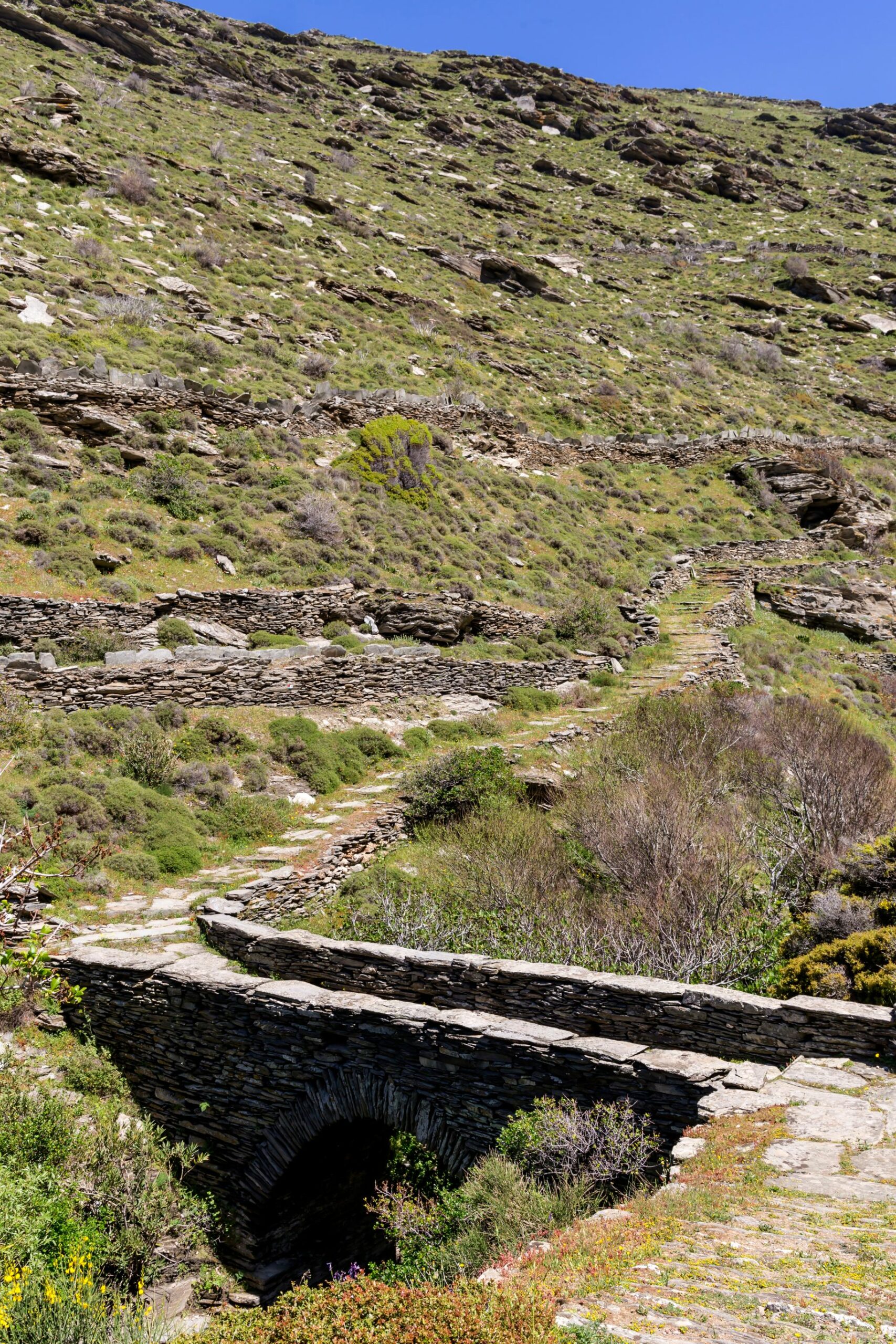
The starting point is in the centre of the village of Vourkoti. The descent leads you into the lush valley, where you cross a stone bridge, after which you meet the first houses of the village. Pass through the cobbled alleyways of the mountain village. Take the path running parallel (eastwards) with the main road, until you reach a dirt road which you walk down for the next 500 m. The path then separates from the dirt road and continues downhill to the right (south). After 1.9 km you will cross the river over an old stone bridge, and 400 m further down you’ll join a dirt road that leads to the iconic Monastery of Agios Nikolaos, passing in front of its entrance. From here, the path is clear and descends to the river of Achla, on your left (north), which you follow until you reach the large secluded beach of Achla.
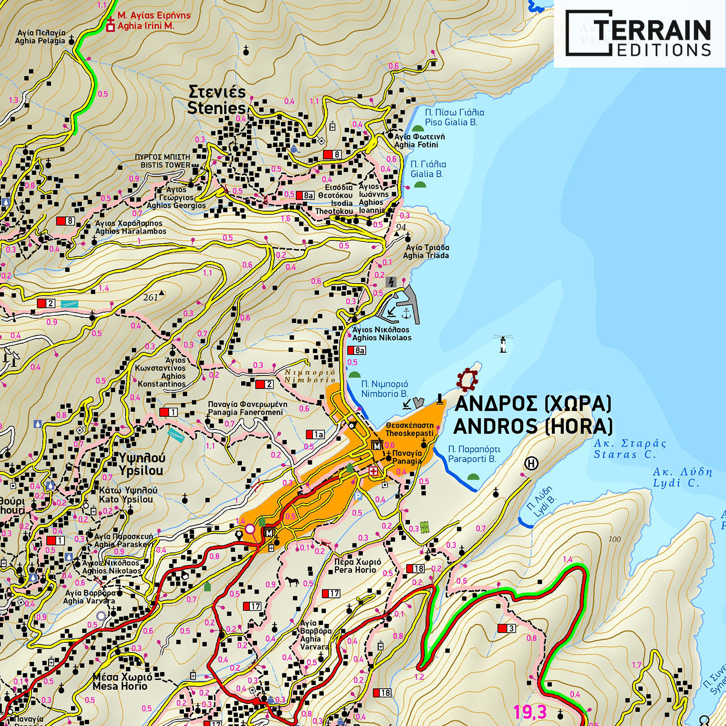
Chora – Syneti – Dipotamata – Kohilou – Korthi Bay (Route 3 of the Andros Routes network, 11.5 km / 4h30′)
This trail begins at the far end of Paraporti beach to the south of Chora. It’s well-marked and ascends to the tarmac road leading to the helipad. The path then descends towards the ravine of Lydi Bay, then climbs uphill again til it intersects with the main road that connects Chora with Korthi. Crossing the road rejoin the path up some stone steps between two dry stone walls until it meets up again on the asphalt road. From here you’ll have to walk on the road for the next 2 km. About 200m on, you come across a fork that leads to Syneti beach (on the left). But stay on the main road for another 1,800 m until you come across rough dirt track to the left (south) which traverses down into the Dipotamata valley.
This track turns into the old path that descends into a small river with the water mills and a stone bridge. After crossing the bridge, go up the track until you cross a dirt road. Crossing over, continue straight ahead along the typical Andriot path sheltered between two dry stones walls. About 300 m further on, after some cisterns the path forks. To the left (north-eastern) the track leads up to the old Venetian castle of Faneromeni, at an altitude of 585 m. The right fork leads you into Kohilou, a white-washed mountainside village, huddled under the castle, where spring water flows in abundance and the views of southern Andros, Tinos and the deep blue of the Aegean impress. After leaving the village, the well signposted pathway descends gently towards the bay of Korthi.
Read also:
Meteora: Top hiking routes – trails, monasteries and rocks of an awe-inspiring place in Greece
Astypalaia: the top 10 hiking trails on “Aegean’s Butterfly”


