The Aliakmon is the longest river in Greece: it is estimated that it stretches over 297 kilometres. It’s source is from the mountains of Gramos, in the northwest of Greece on the border with Albania. It courses eastwards, traversing through large parts of Macedonia before ending up at the Thermaikos Gulf between the cities of Thessaloniki and Katerini.
Due to both its length and size, there are many tributaries and streams of central and western Macedonia that run off into the river such as the Grevenitikos, the Sarantaporos and the Ladopotamos. It should be noted that the Aliakmonas river drives several hydroelectric power stations of the DEH (the National Greek Electrical Company). which has constructed several dams in the region that, in turn, have created a chain of artificial lakes in the area.
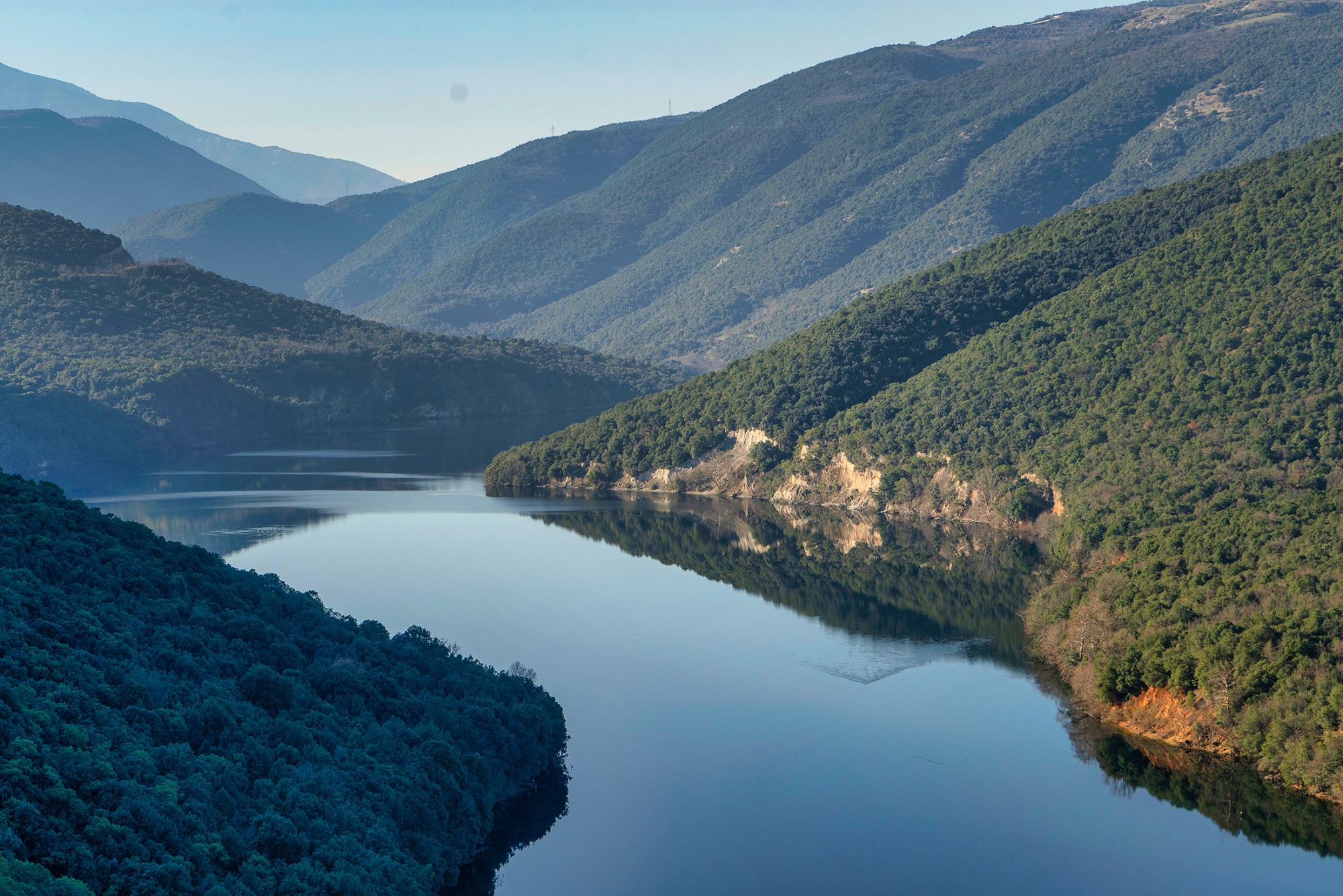
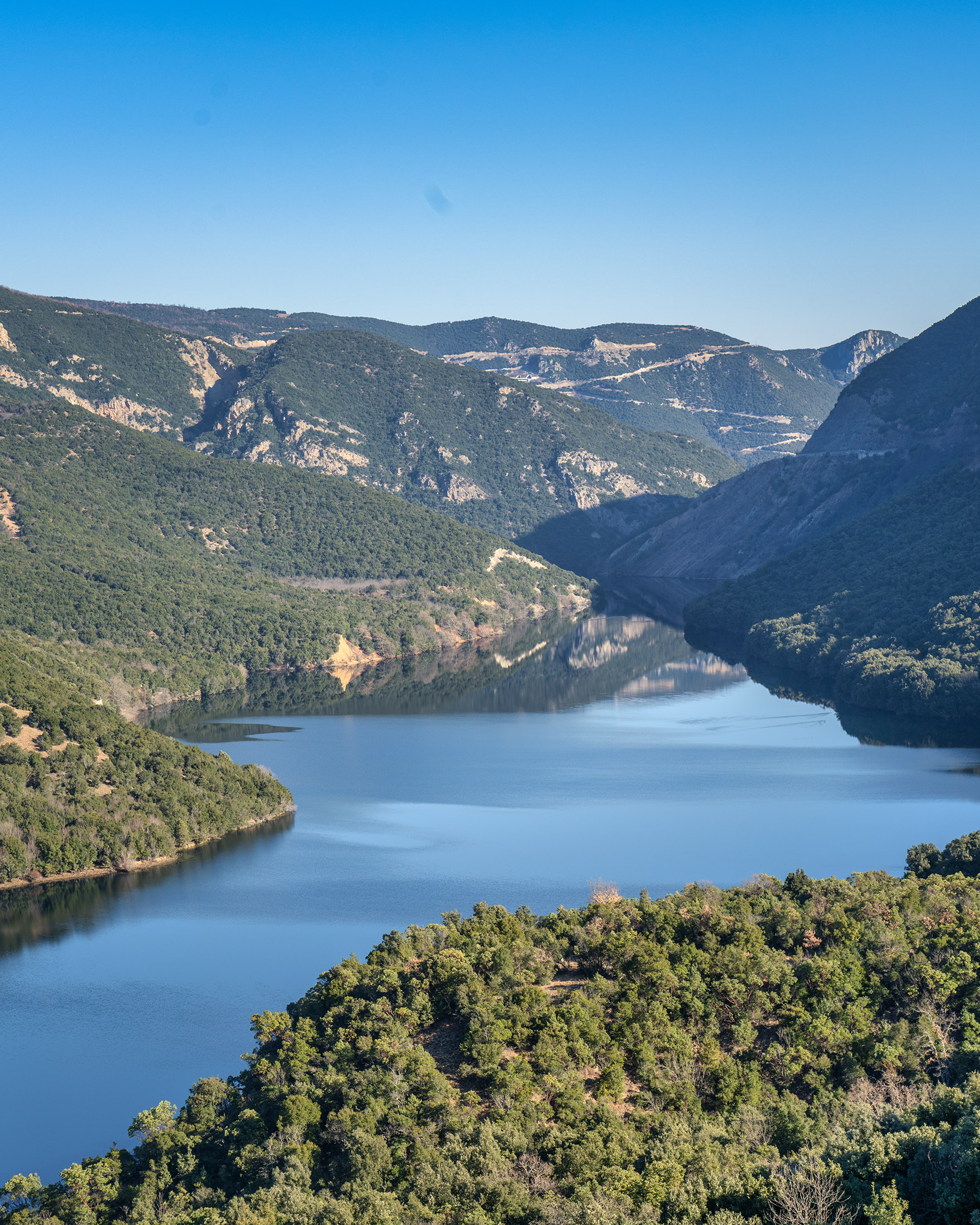
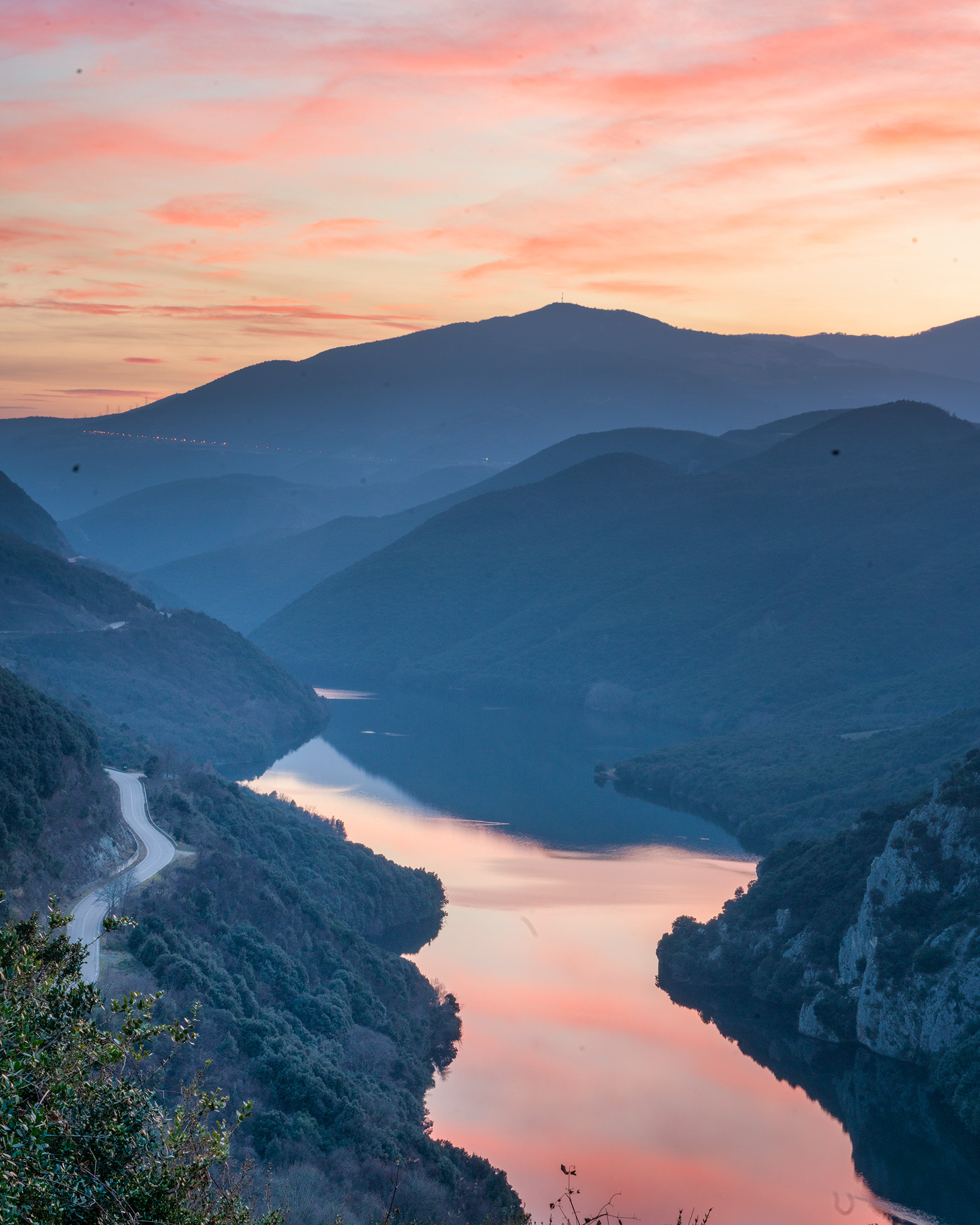
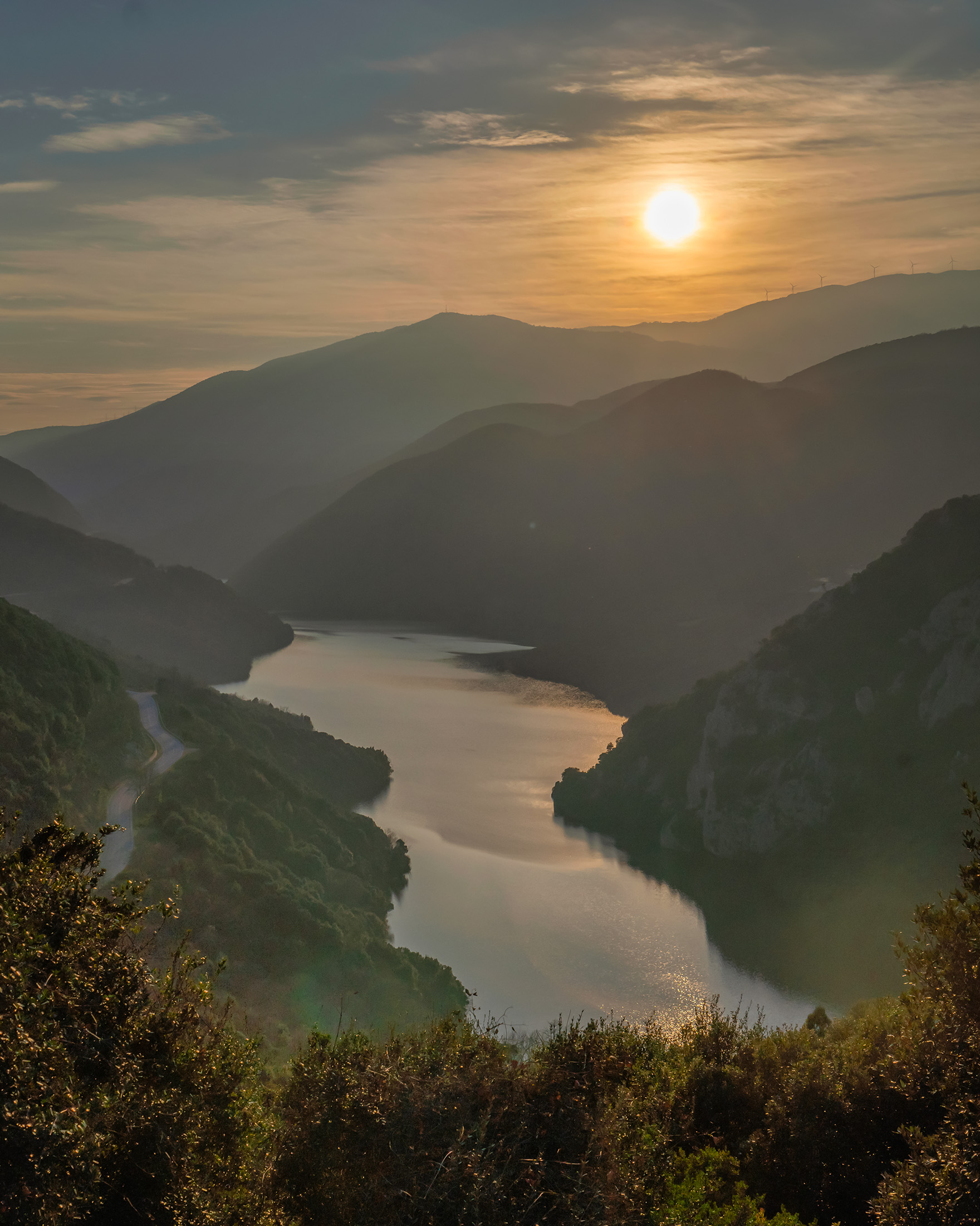
One of the most beautiful among the artificial lakes created is Agia Varvara – also know as ‘Lake Aliakmon which can be a tad confusing as there are a number of lakes that are fed by the river, as already mentioned .
An artificial lake that looks so genuine
The artificial lake of Agia Varvara is located in the third of the three sub-regions into which Aliakmonas is usually divided. The first of these extends from its source in the Gramos mountains near the village of Paliuria in Grevena; the second is the wider area around the artificial lake of Polyfytou in Kozani, while the third starts from Agia Varvara and extends to the mouth of the river at Thermaikos Gulf.
Just a few kilometres outside Veroia, the lake of Agia Varvara is part of an cluster of similar projects built by DEH over a period of 45 years, aiming to harness the hydraulic power potential of the river Aliakmonas. The area around the village of Agia Varvara (the old Varvares region) is made up of fertile plains that are mainly used for agriculture.
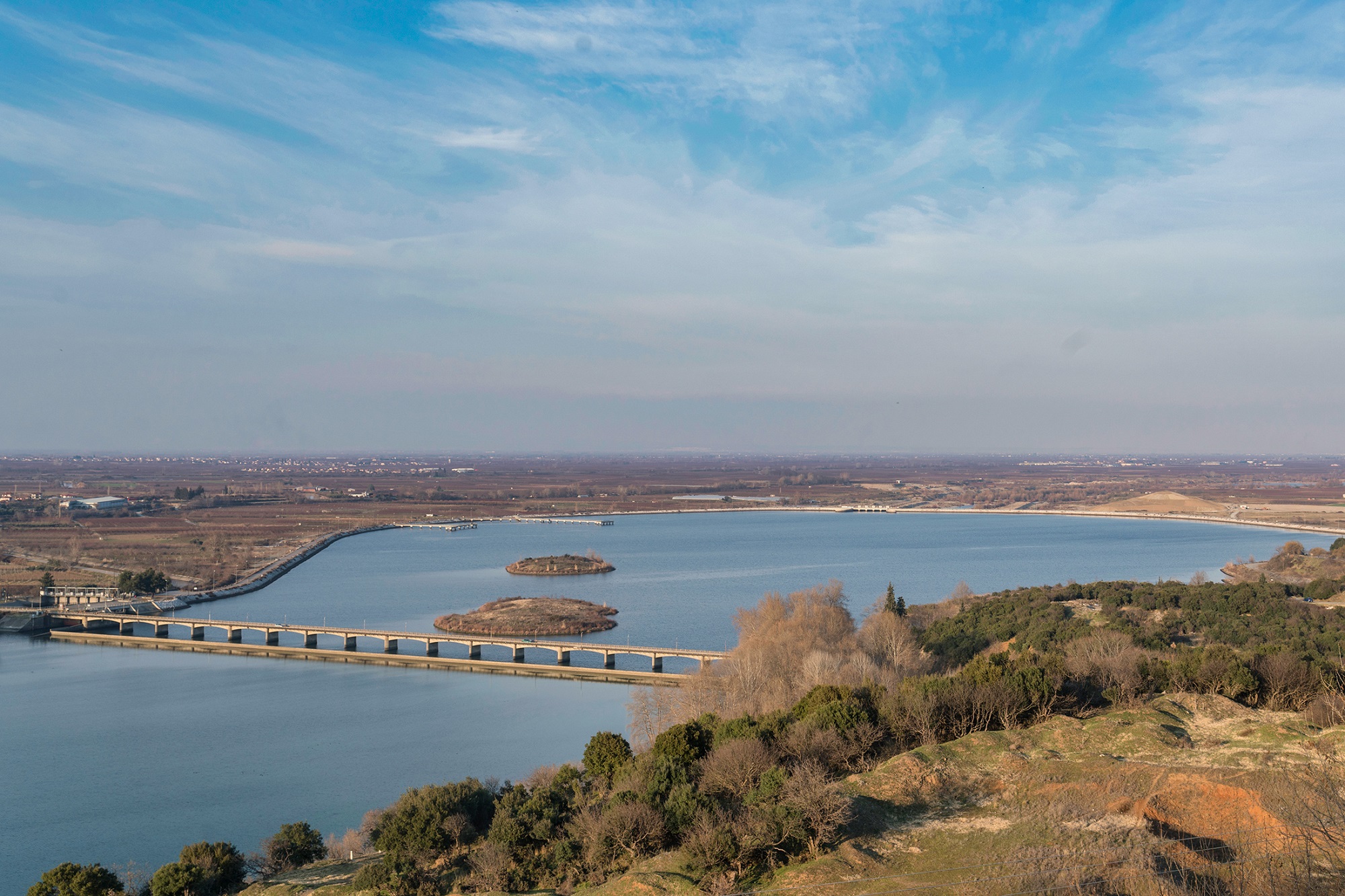
The Aliakmonas diversion dam at Agia Varvara was built in the mid-1950s and was crucial for the development of the area. Until that time the river tended to form meanders and oxbows, not having a stable lowland bed, and this instability led to the formation of extensive marshes and regular flooding towards the estuary.
The artificial lake, and its environs, in its present form is due to the upgrading project that took place in 2004/2008 between the villages of Agia Varvara and Metochi, about 40 km from the river’s mouth.
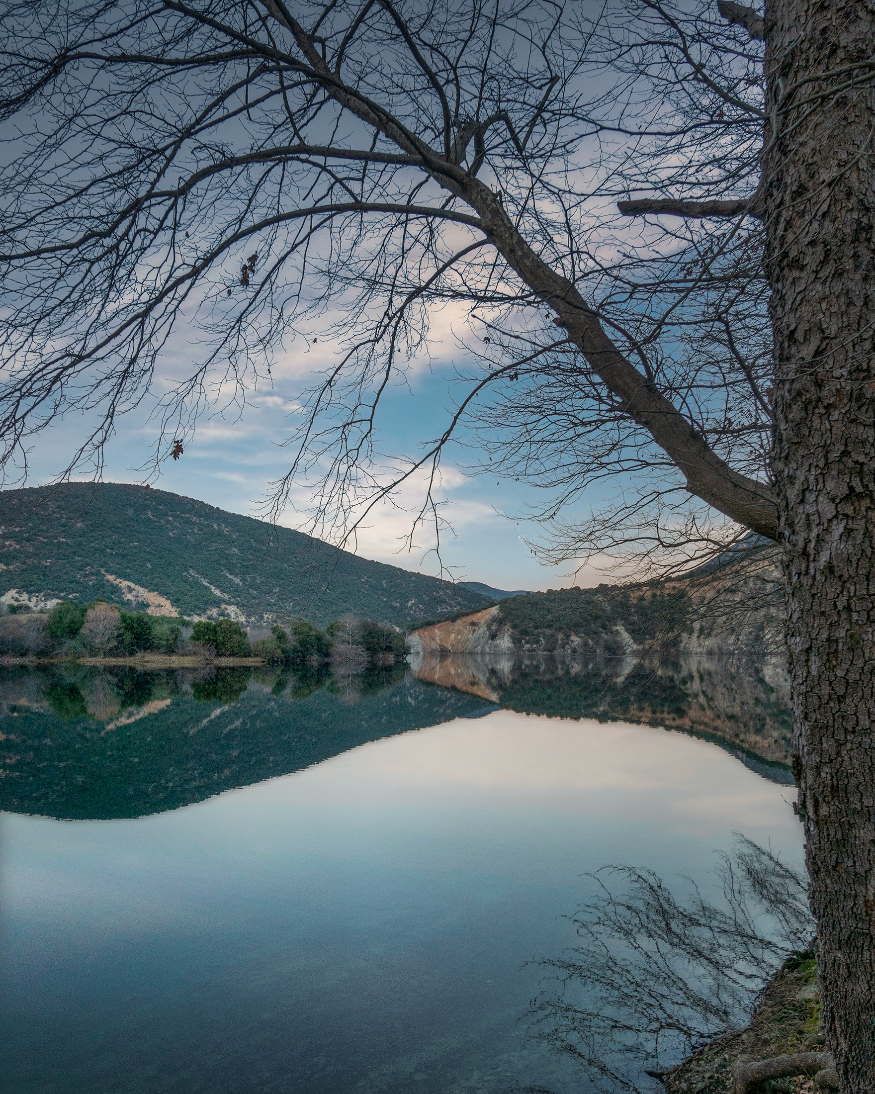
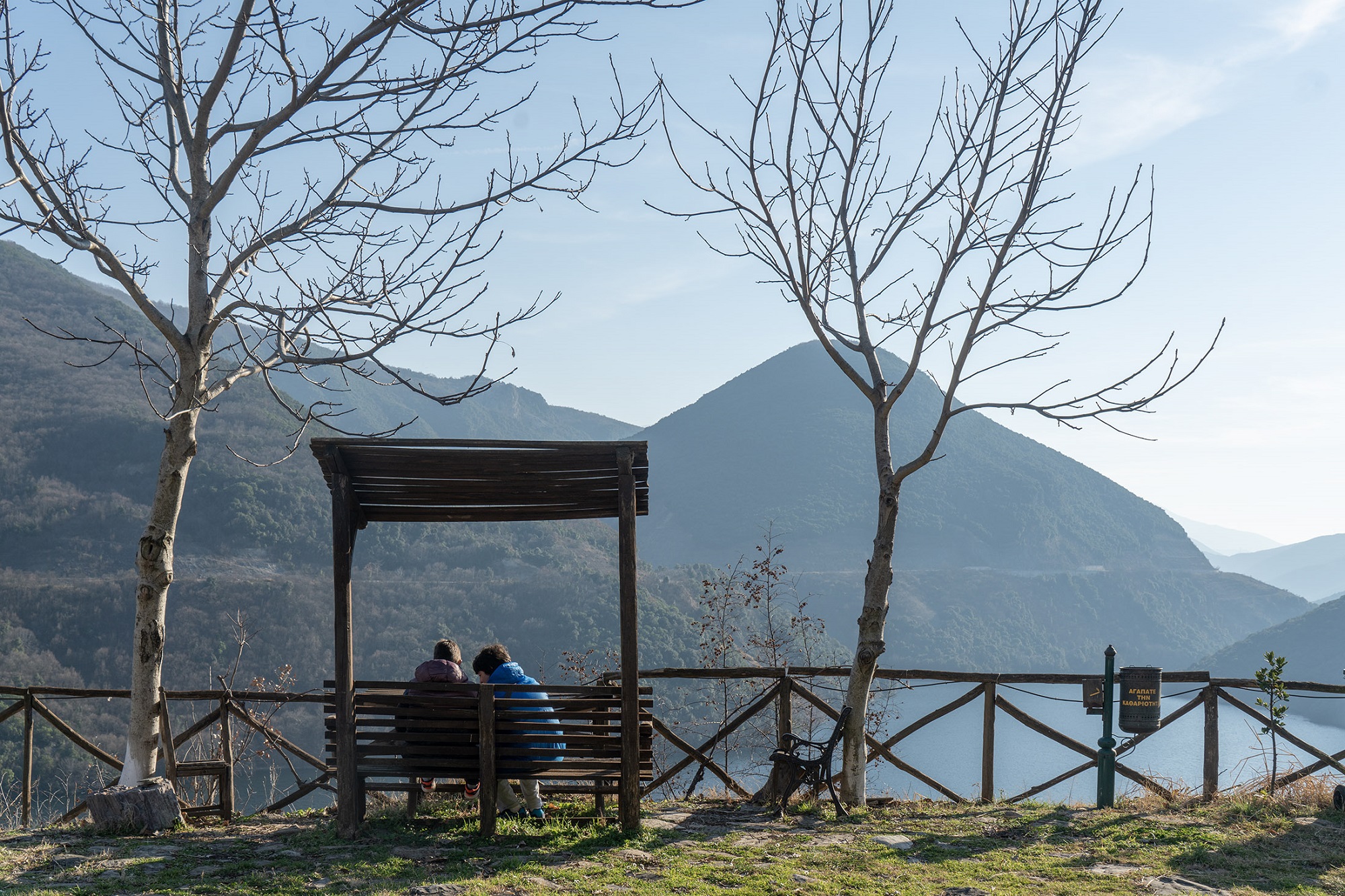
This, the latest project, has resulted in a new lake, Agia Varvara, that has harmoniously seamlessly blended into the attractive landscape. It is now an idyllic combination of turquoise waters, forest green (with a few deciduous trees and their turning colours) and stark mountain slopes.
Thus, a landscape of dual importance for the region emerged. On the one hand, the lake leads to the consistent irrigation of crops and also directly supplies the water supply network of Thessaloniki. While on the other hand, it creates an easily accessible destination for walks, hiking trails, recreation and of course some water sports. This little gem is already attracting tourists from Thessaloniki and Athens and even visitors from the countries that border Greece to the north.
How to get to Lake Agia Varvara
It’s Pretty simple to get to Agia Varvara lake. And it makes for a wonderful add on to any trip to the area to visit the spectacular and unmissable ancient royal tombs of the Macedonian kings at Vergina. From there take the provincial road Veroia-Vergina to the “Stena” of Aliakmonas, about 8 km from Veroia. The ‘stena’ is a narrow and quite steep gorge between the Pieria Mountains and Vermio, through which the river courses. This road leads you to the barrier that dams this body of water.
Read also:
Kamaria: The least known lake of central Greece
Aoos Springs Lake, a Pastiche of Cobalt Waters, Spherical Islands and Majestic Meadows
The Roman Aqueduct of Nikopolis: A Technological Marvel in Preveza, Greece


