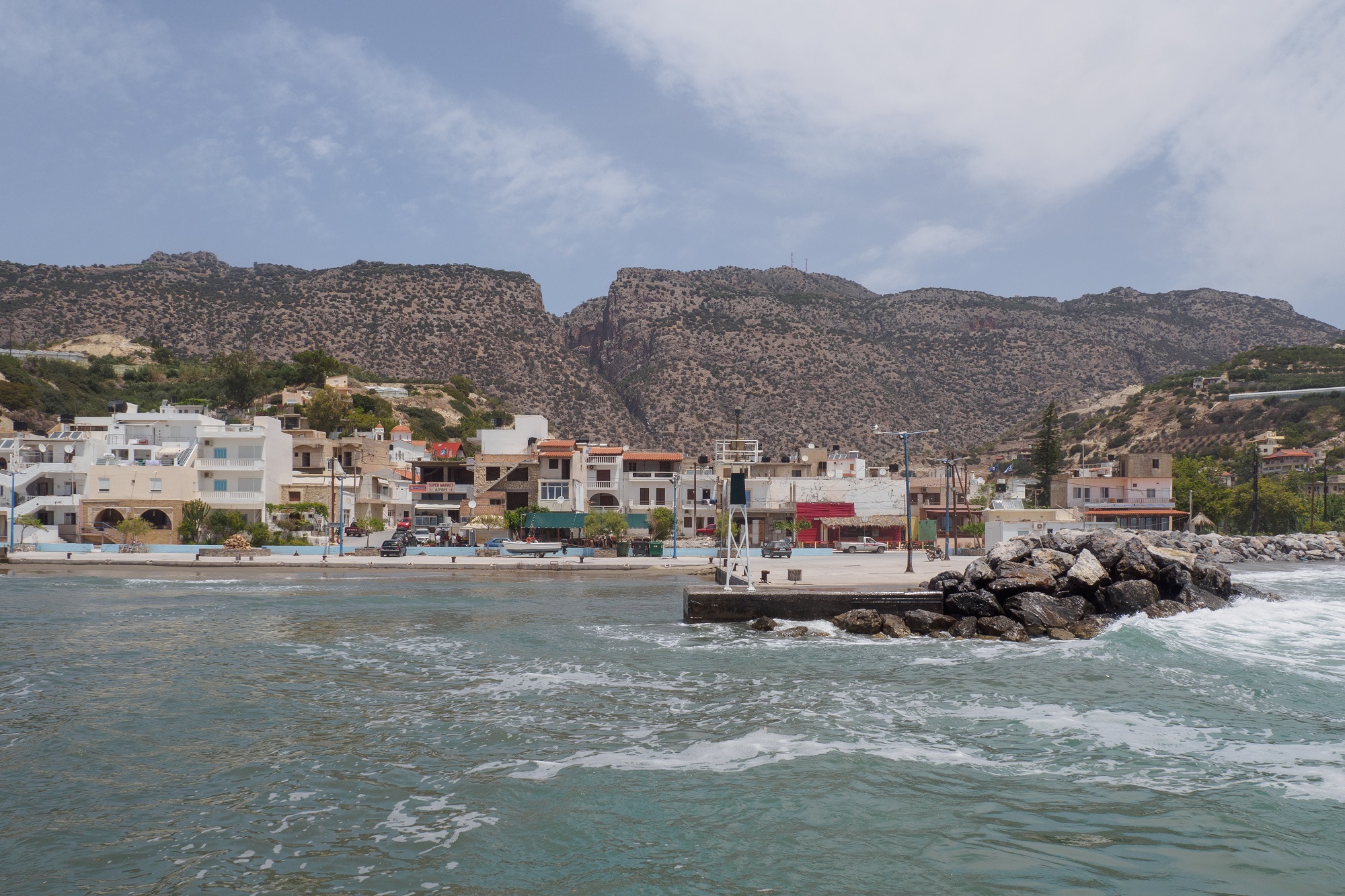
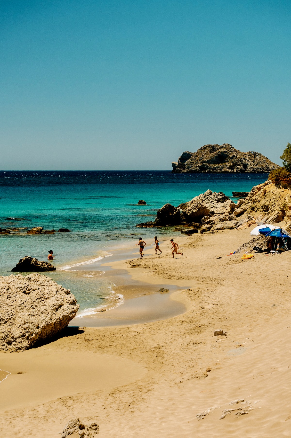
Arvi, a blessed location situated by the Libyan Sea, at the coastal section of the Heraklion regional unit and under the administration of the Viannos municipality, is naturally protected from the area’s winds, while its microclimate is distinguished by lots of sunshine.
The true source of the location’s wealth, however, is the Arvi gorge, in the depths of the valley, as its waters irrigate the village banana plantations. It is worth noting that Arvi was the first location in Crete where outdoor banana cultivation was tested.
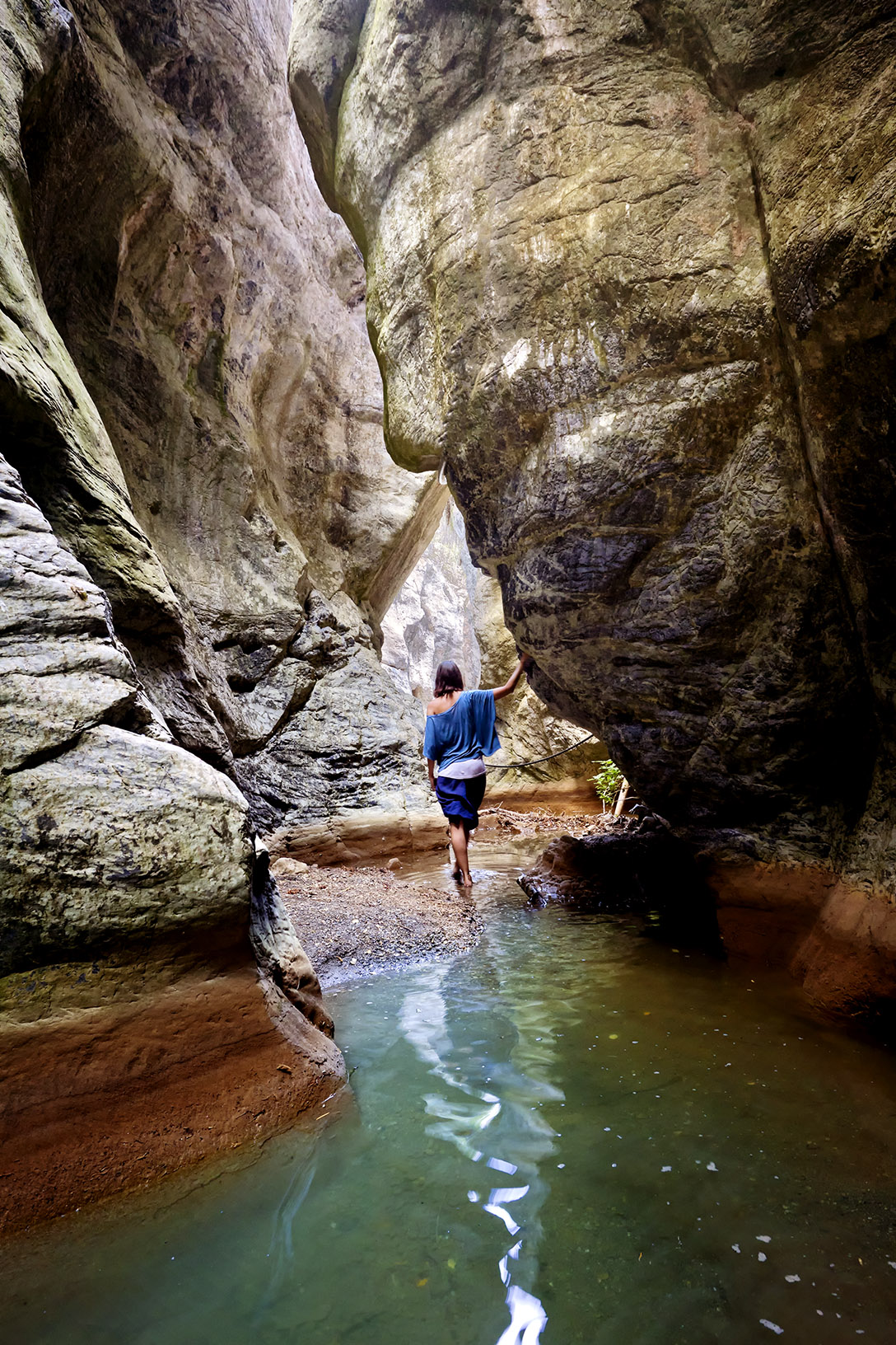
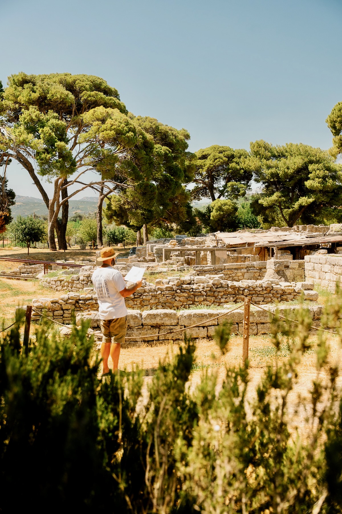
The Arvi gorge, a spot of immense natural beauty, is 2-km long. Not coincidentally, the wider area has been inhabited since prehistoric times, as far back as 2600 BC, findings resulting from occasional archaeological excavations have shown. Historical sources mention the existence, in this area, of a sanctuary dedicated to Zeus. The ensuing Agios Antonios church may have been built on top of the sanctuary. In more recent years, the gorge has become increasingly known as an abseiling destination. It remains extremely hard to reach.
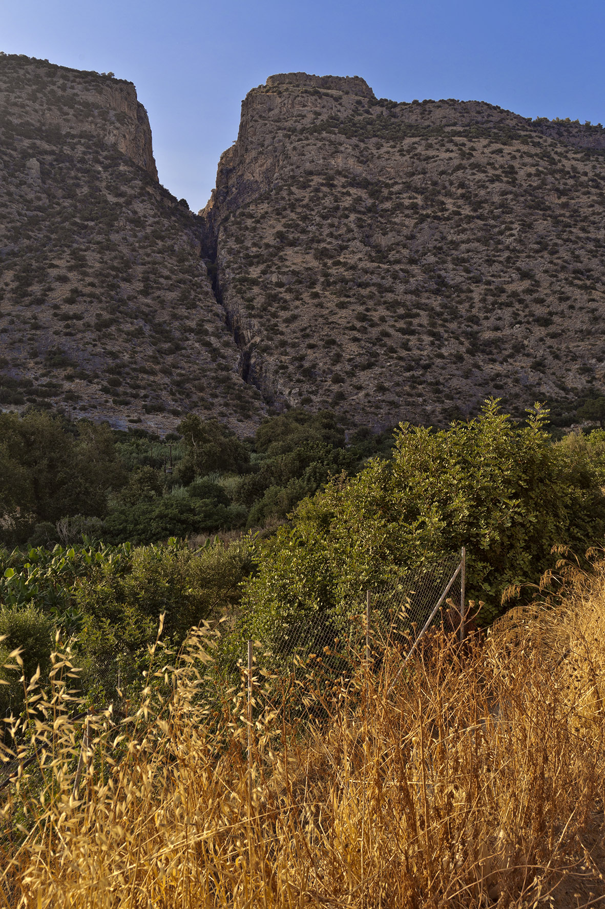
At the northern section of the Arvi valley, a rock formation splits Mount Arvion (often referred to as Plevra) into two, shielding the area from winds. This has created a distinct microclimate for the village. At the same time, abundant Mt. Dikti waters flow into the gorge, precious for irrigation purposes at the modern-day village.
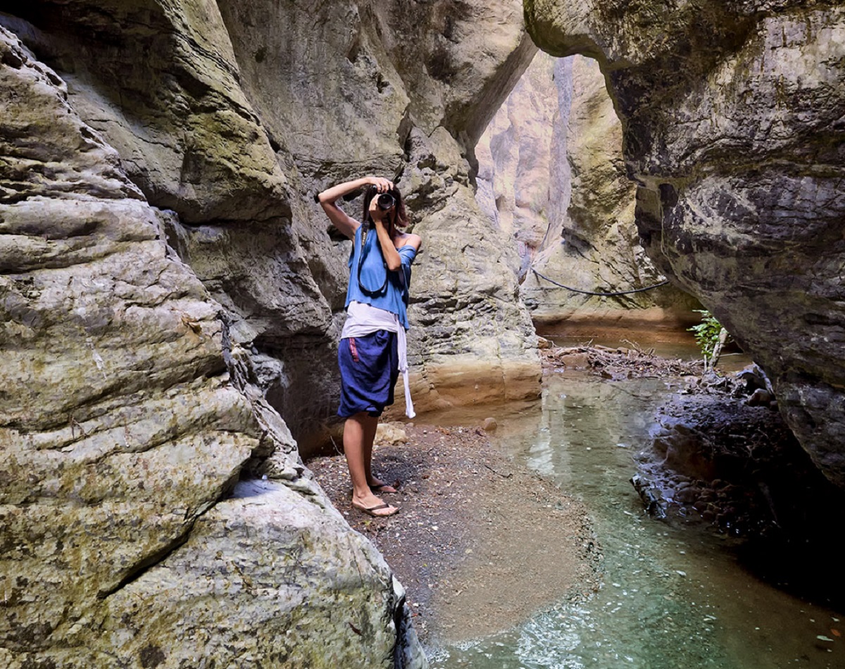
The gorge may be entered from the northern side, the back of the mountain, a pine-covered area locally known as Lydi. The exit, Porofaraggo, is on the southern side, just 1 km from the sea. As already mentioned, the gorge area is inaccessible, except for a small section around the entrance and a corresponding area by the exit. Crossing the main area requires special equipment for abseiling and lots of mountain climbing experience.
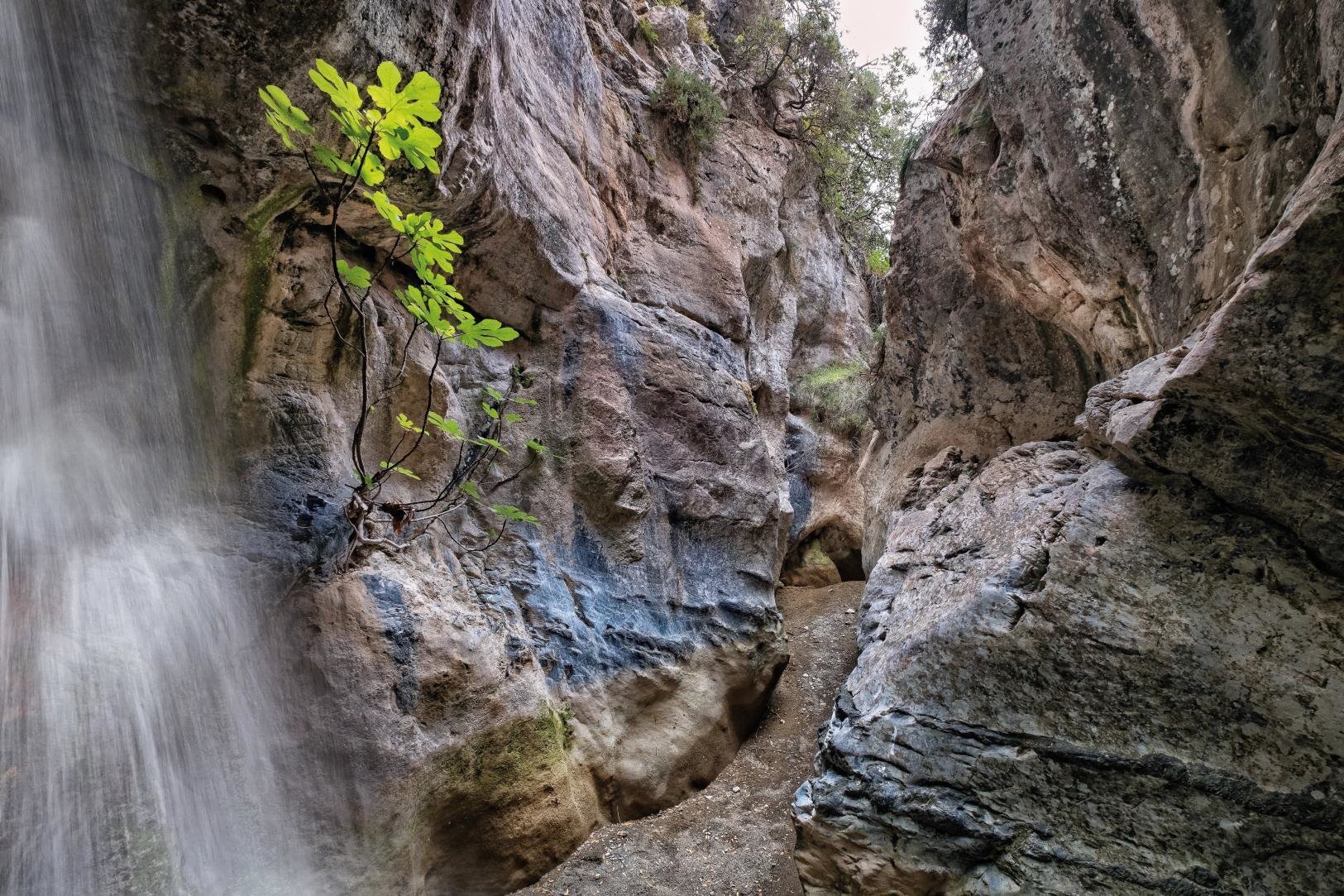
The slopes are breathtaking. It is estimated that 13 waterfalls of various sizes flow in the area. The biggest of these plunges from a spectacular height of 83 metres. In the winter, the large amounts of water cascade with full force, spraying up a cloud of water vapor over the gorge, an impressive sight. This is why Arvi locals refer to this specific waterfall as Kapnisti, meaning smoky.
Courtesy of its waters, the gorge is filled with plane trees, oleanders and myrtles, while the area’s inaccessibility has transformed it into habitat for birds of prey, wild pigeons, as well as swallows, which like to spend their winters at this location. In addition, this is Crete’s only gorge that includes a subterranean section, measuring 150 metres and hosting 3 small waterfalls.
How to get there
Begin driving from the town Heraklion towards Arvi, in the south of the regional unit (also named Heraklion), by the Libyan Sea, a total distance of 78.5 km. The route is very scenic and does not take more than an hour to cover.
From the village, a 20-minute walk in a northerly direction heads to the gorge entrance. The gorge exit is just 1 km from the shore. Unfortunately, the spring that flowed at this section has been redirected for irrigation purposes.
It is worth gazing around at the easier-to-access section at the gorge entrance. Do not attempt to continue any further once the path begins to narrow if you do not possess mountaineering experience and fitness. Visitors covering both prerequisites will need to be well equipped for a demanding trek taking two-and-a-half hours to cover and requiring a total of 26 descents with ropes. Two of these descents are at the subterranean section of the gorge, requiring a good torch to combat the total darkness.
Read also:
Agiofarago: Fine pebbles and amazing waters, at the mouth of the Gorge of Saints
Astypalaia: the top 10 hiking trails on “Aegean’s Butterfly”


