We set out on our adventure in Ermionida, eager to explore the legendary Franchthi Cave, traces of its human inhabitation dating back an incredible 40,000 years. Next on our list is the pursuit of the dolines of Didyma.
Lying in his shallow grave, a 25-year-old man, devoid of adornments, hides from the sun’s rays. His skull bears the markings of fatal blows. Stones cover his chest and head, hands folded over his chest in a silent embrace. How did he end up here? What was his life, his thoughts, his deeds? We’ll never know. What we do know is that his skeletal remains were dated back to 8,500 BC. This grave is one of the best-preserved burials from the Mesolithic period in Greece, discovered right here, in the depths of Franchthi Cave.
Franchthi Cave
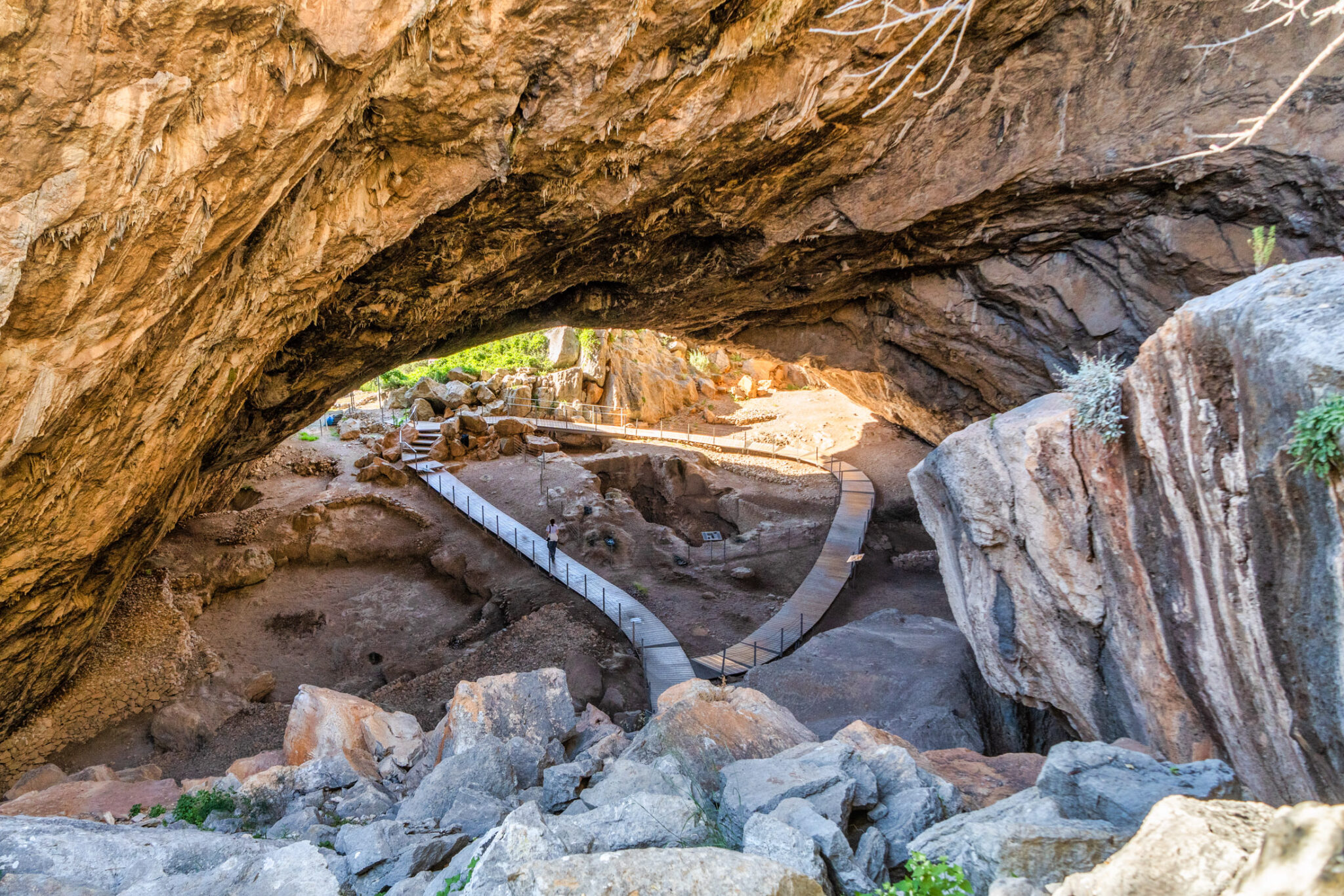
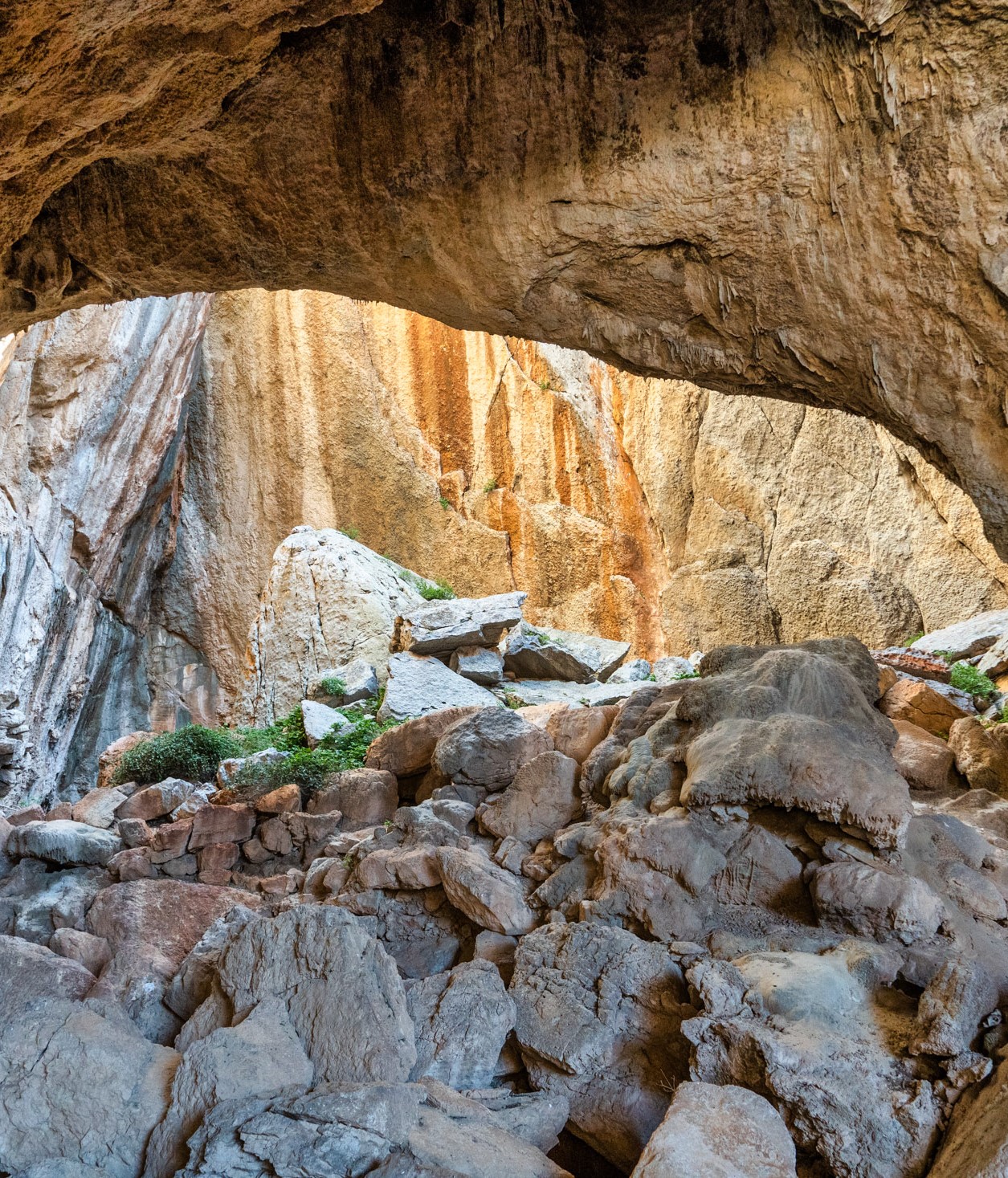
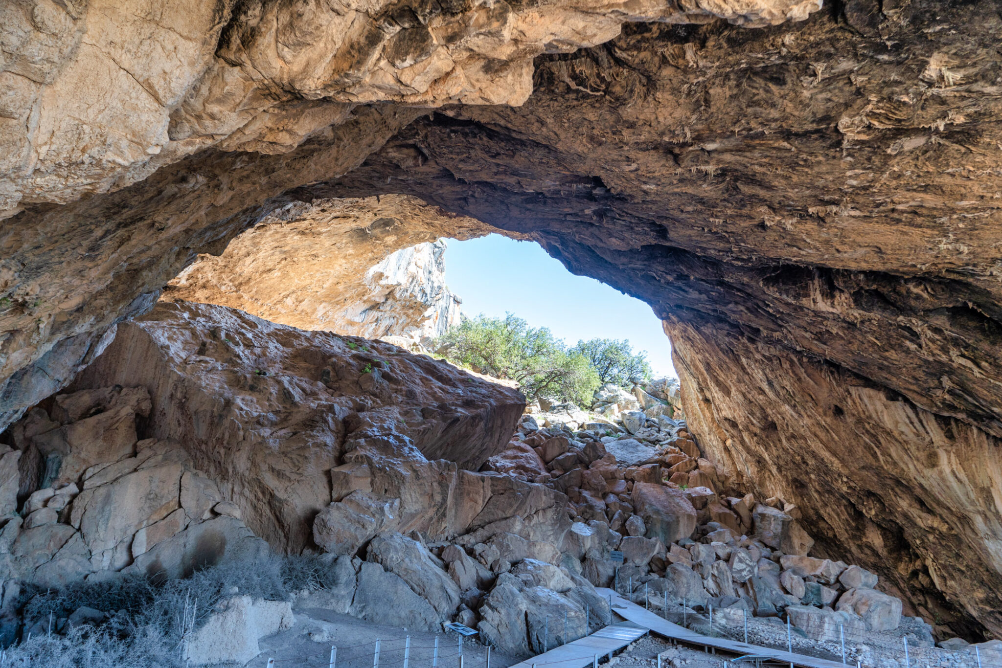
Seated beneath the colossal stone “dome” with its elongated opening formed by landslides, I watch droplets seep at various points along the wooden walkways that traverse the space. I glimpse the forms and shapes of geological formations on the vertical cliffs. I feel as if I’ve been granted a rare encounter with our ancient ancestors. Here, they too entered, performed their rituals, sheltered their animals, ventured outside, gazed out at the sea, basked in the sun, crafted tools and trinkets. 40,000 years ago, this was the dating of the earliest habitation in the cave that wraps around me like a stone embrace.
The earliest habitation 40,000 years ago
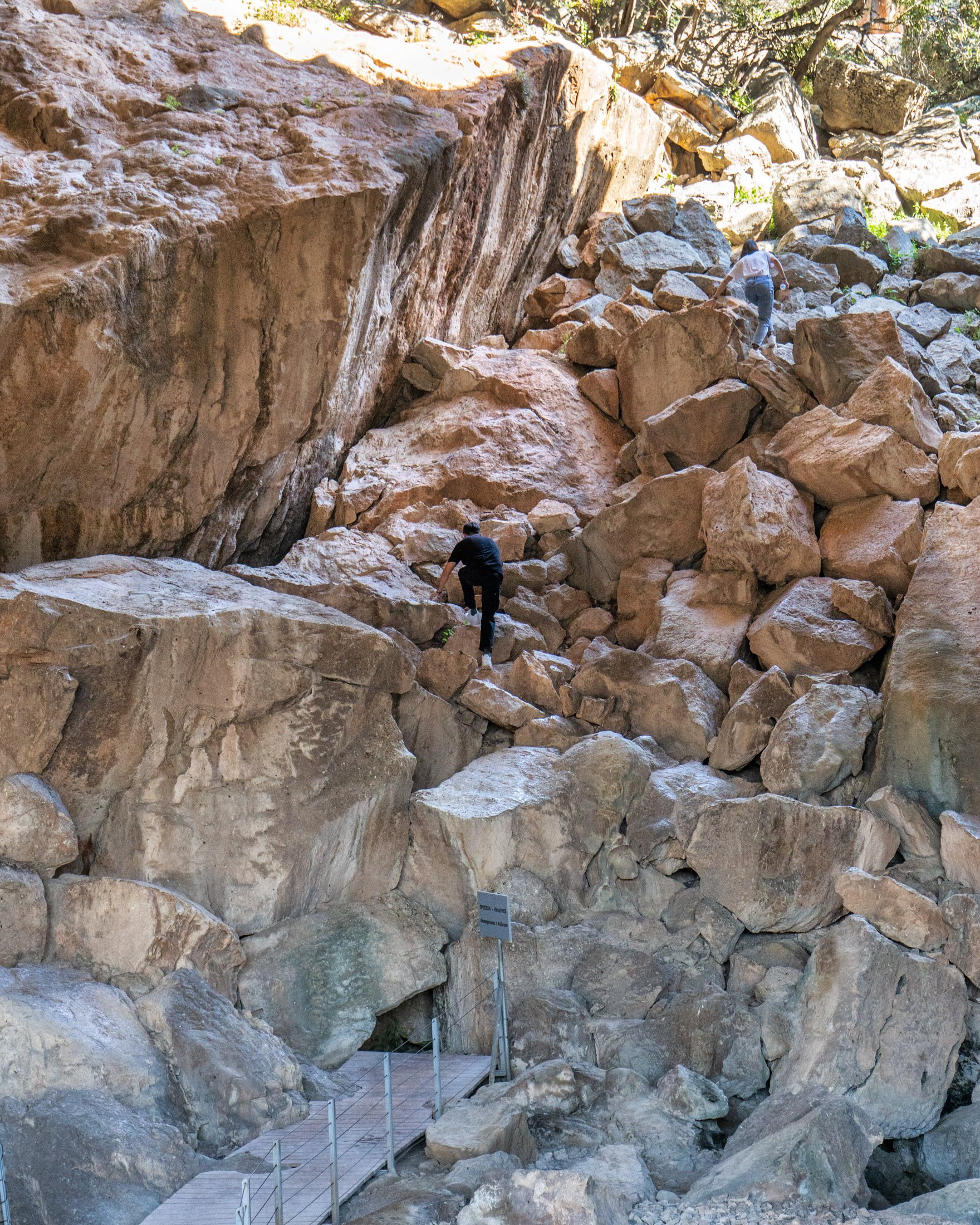
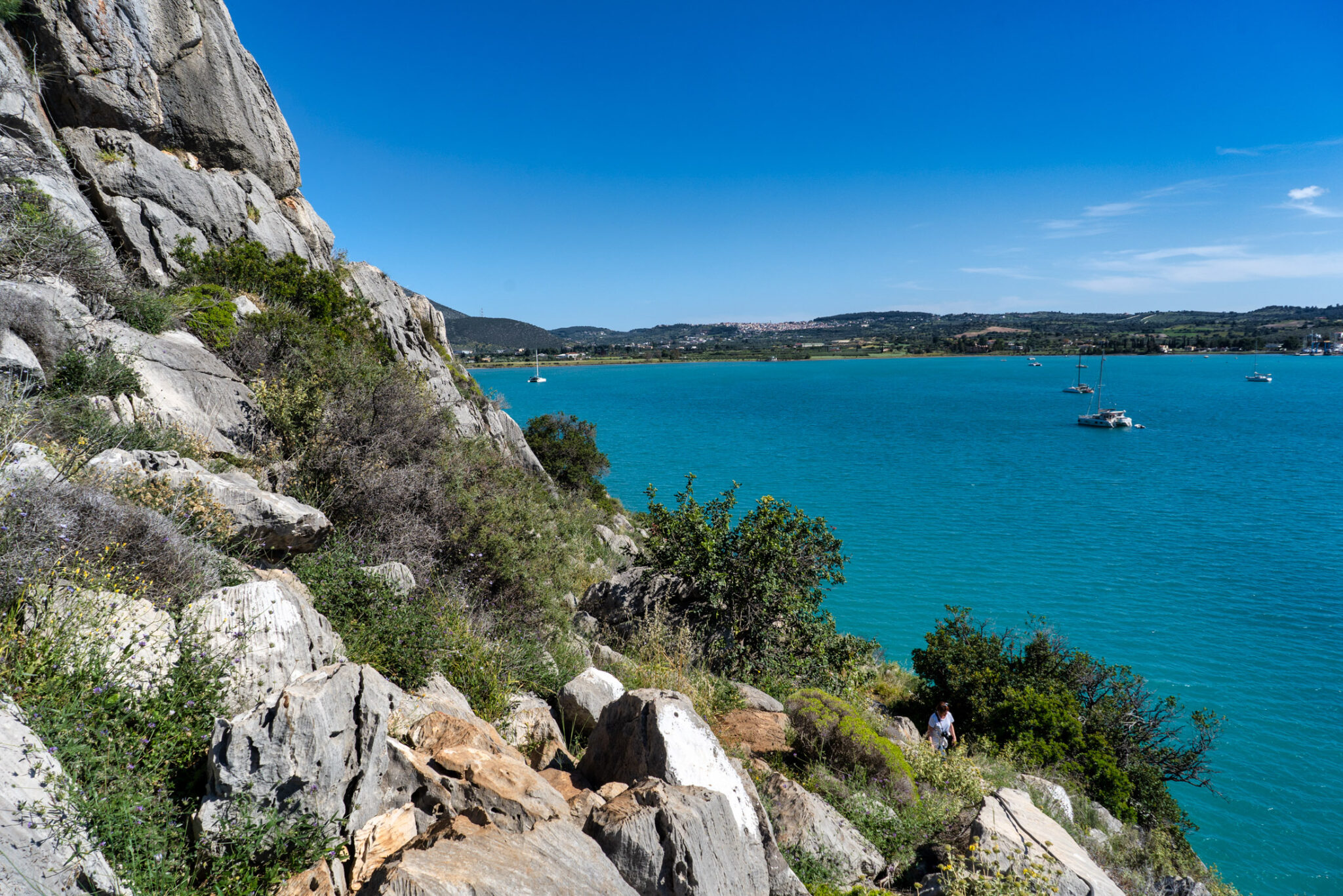
We find ourselves on the northern coast of the Koiladha Bay, the shores of Kranidi, renowned deep in antiquity for its shipbuilders and the fresh fish that continue to be brought in by the remaining fishing boats. We reached the Franchthi Cave after a 15-minute hike and scramble over rocks, a truly impressive journey with an uninterrupted view of the sea. Yet, you can also access it more easily by boat from the Koiladha Bay, docking at a small jetty below.
Franchthi Cave is a mere 50 metres away from the sea, situated 12.5 metres above the water level, its entrance facing west. It delves into the earth for 150 metres. The ancients picked this location, not by chance, but because it offered a multitude of benefits: its sheer size and location, close to a plain, small forests, semi-mountainous landscape, and the lapping waters of the sea.
Archaeological excavations at the site were carried out between 1967-1979 by Indiana University, USA, under the auspices of the American School of Classical Studies in Athens. The uncovered artefacts belong to the Upper Palaeolithic (40,000-10,000 BC), Mesolithic (9,000-7,000 BC), and Neolithic periods (7,000-3,000 BC). During the Paleolithic and Mesolithic eras, it appears to have served as a pitstop for nomadic groups who gathered food directly from nature and napped their tools from metamorphic, glassy rocks such as flint and obsidian. The Neolithic period saw permanent inhabitants in the cave with the introduction of new tools types – blades for sickles, millstones, and hatchets directly tied to agricultural pursuits. A notable innovation of the period was the use of baked clay. For the first time, habitation also extended beyond the cave, towards the current coastline. Most of this settlement, however, now lies submerged.
Life on “The Coast”
Throughout much of the Neolithic period, there was a settlement, “The Coast,” along the shore-line, simultaneously inhabited with the cave. As this period approached its end, and the sea level rose to where we see it today, the plain was engulfed by water, submerging most of the settlement. This area nurtured a self-sufficient community of farmers, herders, and fishermen. They crafted clay pots, some intricately adorned, and sharp tools like axes, hatchets, and millstones. A jewellery workshop, using shells, was unearthed on the beachfront.
The cave was included in the framework of ESPA 2007-2013 by the Ephorate of Palaeoanthropology-Speleology of Southern Greece. You can feast your eyes on the excavated findings from the cave at the Archaeological Museum of Nafplio. Among others, the earliest handmade Neolithic pottery from clay, along with a series of clay anthropomorphic and zoomorphic idols, are on display. (*We are grateful to the Ephorate of Palaeoanthropology-Speleology for providing the information).
“What are these Dolines of Didyma?”
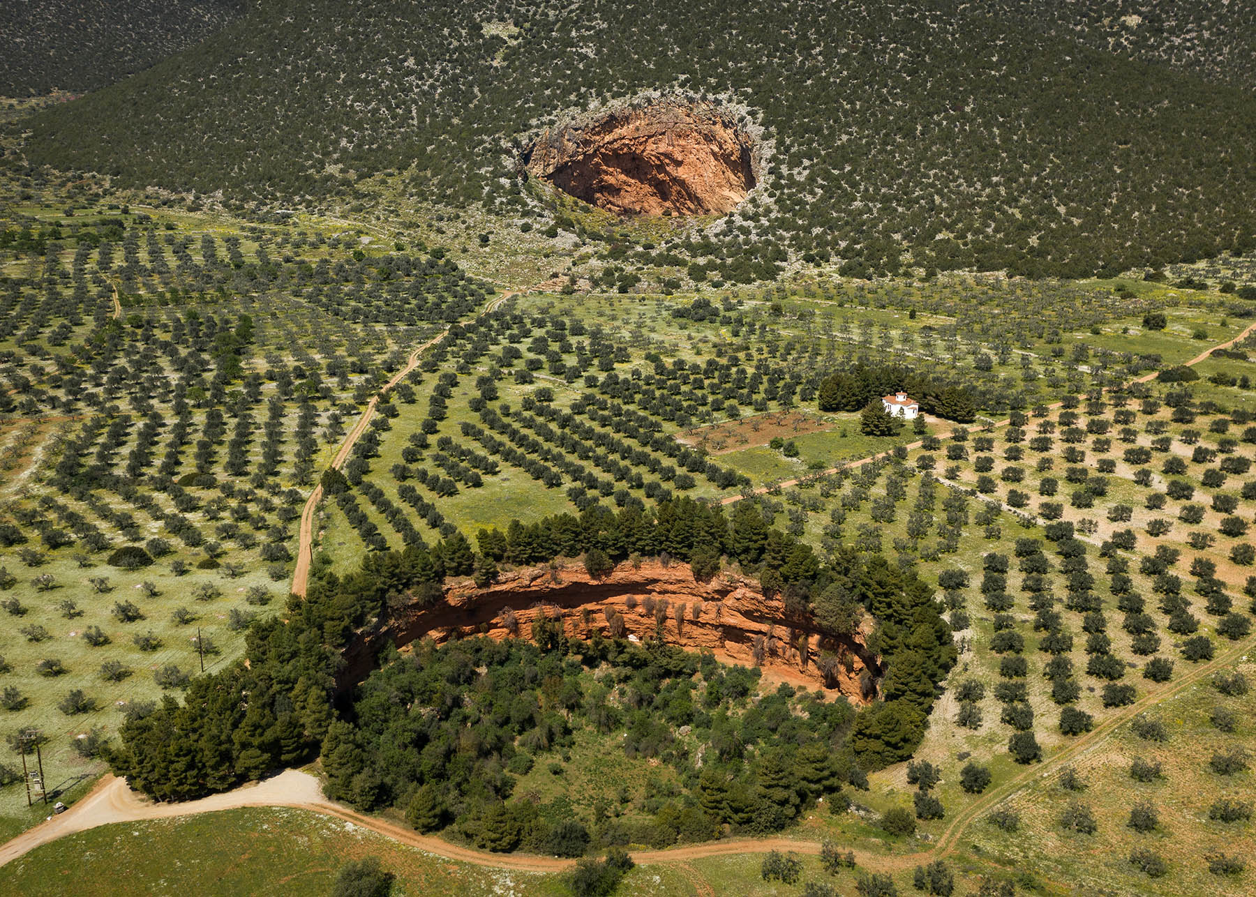
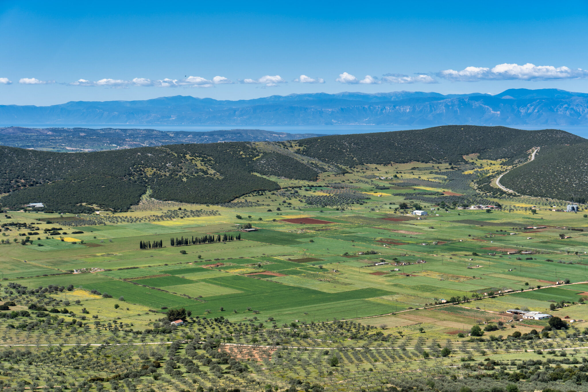
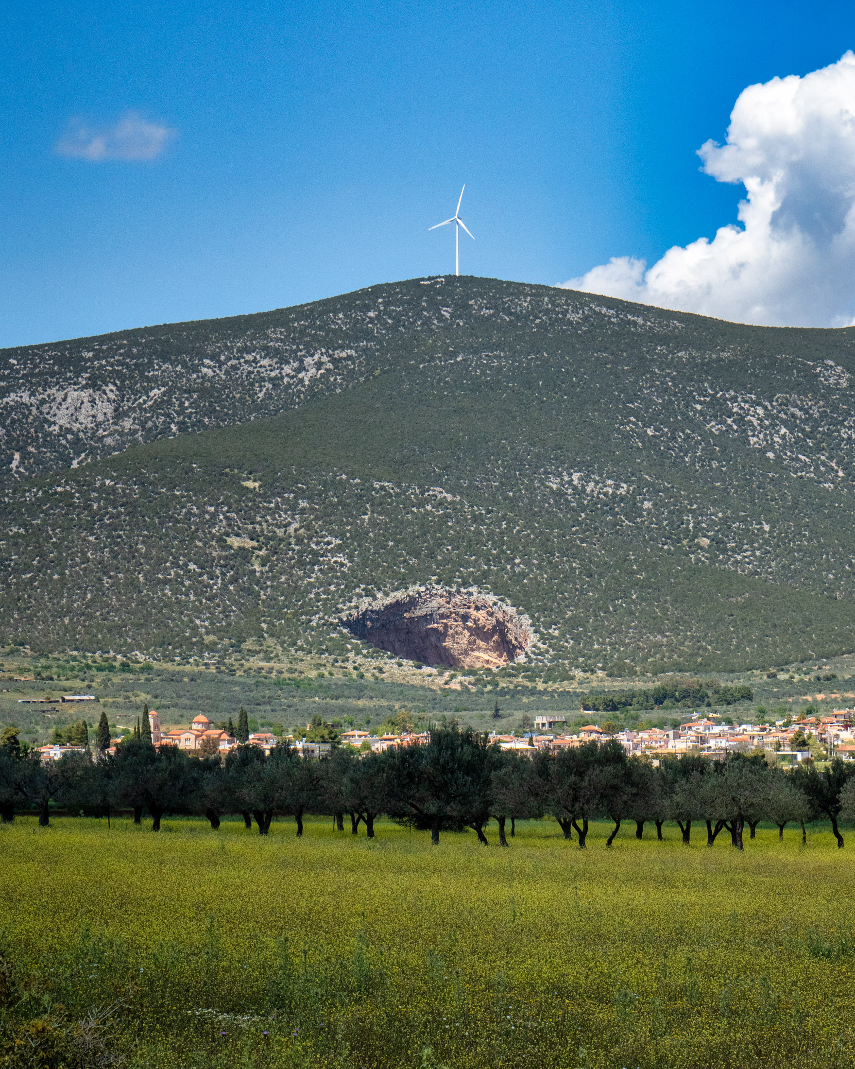
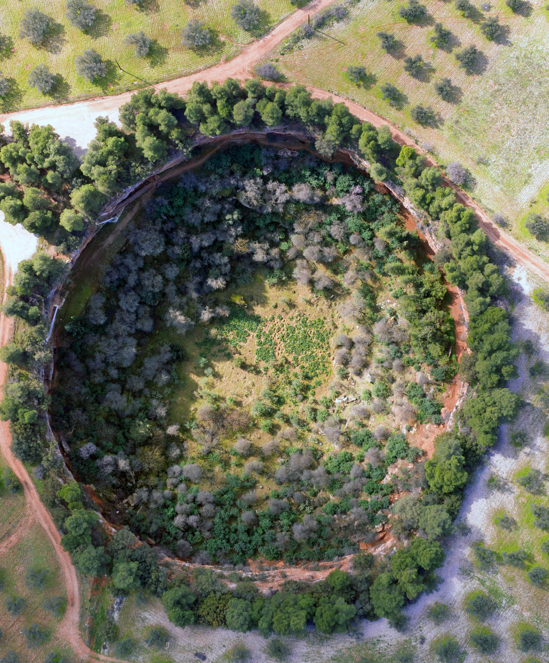
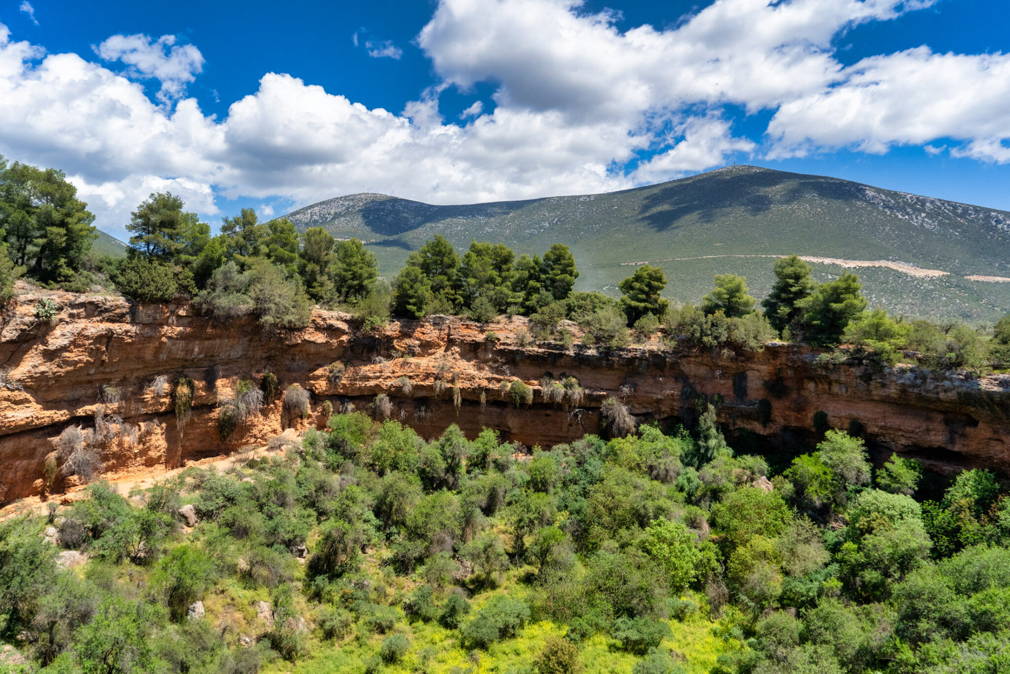
This question will linger in the mind of anyone hearing about our next destination in Ermionida. The answer comes from high above and from afar, as images from the main road to Nafplio, supplemented by drone shots, reveal two enormous spherical cavities — open, forested craters interrupted by sheer cliffs, starkly contrasting with the surrounding gentle landscape.
How did the dolines of Didyma form? Initially, they were referenced by Pausanias, the ubiquitous explorer. Secondly, there’s a credible explanation from Ioannis Petrocheilos, the famed speleologist and pioneer of Greek in his field: the dolines— the Grand Cave and Small Cave of Didyma— were formed from cauldron-like subsidence of the ground. These were natural sinkholes for draining the water from the dry riverbeds and streambeds of the area during the periods it became a lake—for instance, in 1882. At the base of each doline, a kind of amphitheater is formed— the smaller doline even has a natural “gallery,” a path to walk it peripherally.
An epic tale in motion: we’re steering towards Didyma, a village celebrated for its wild tulips (Tulipa undulatifolia or boeotica) and the Tulip Festival held in the spring, when the whole plain is flooded with crimson blossoms. We locate the sign towards the small doline, park the car, descend the rabbit hole-like stairs, and emerge onto the gallery.
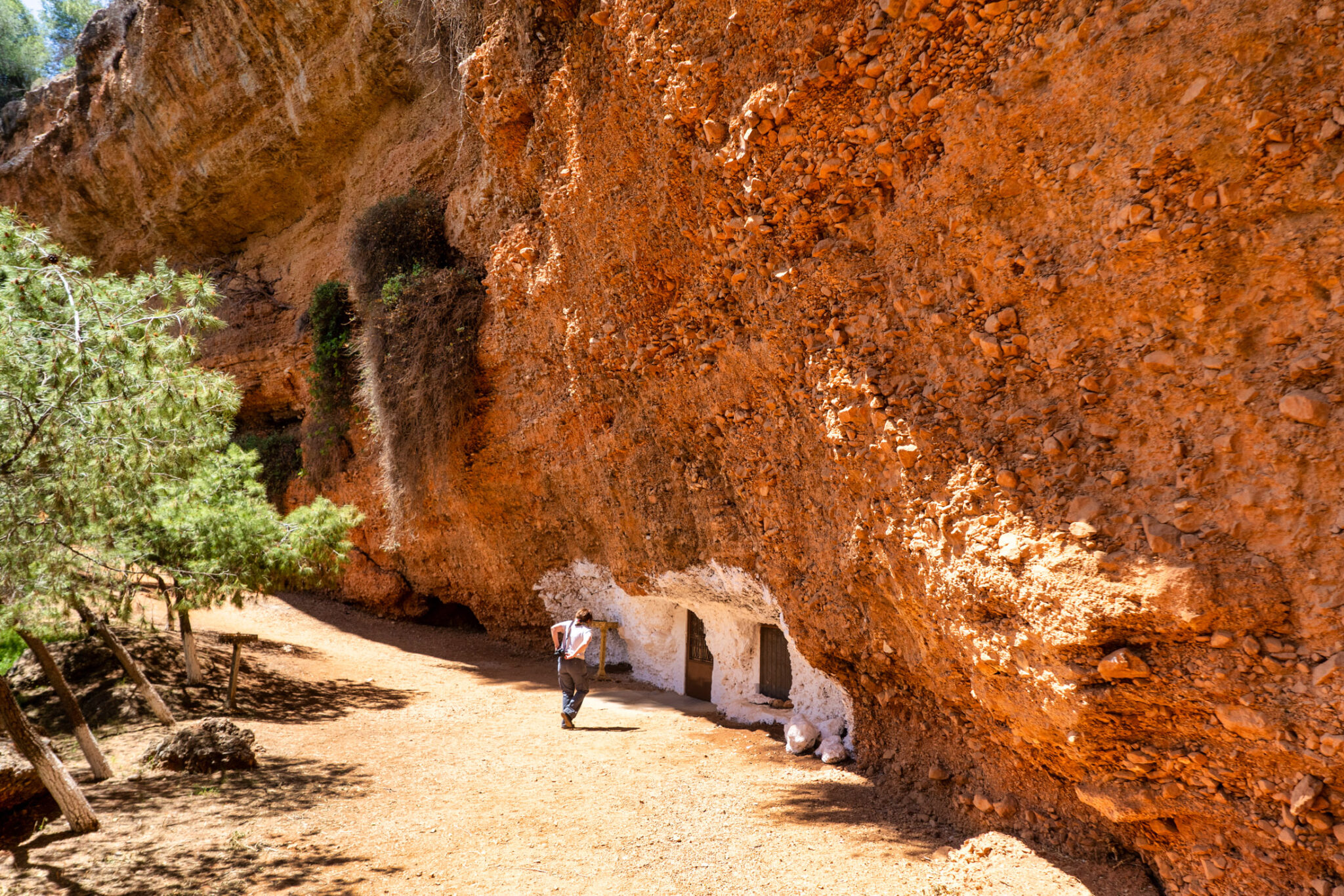
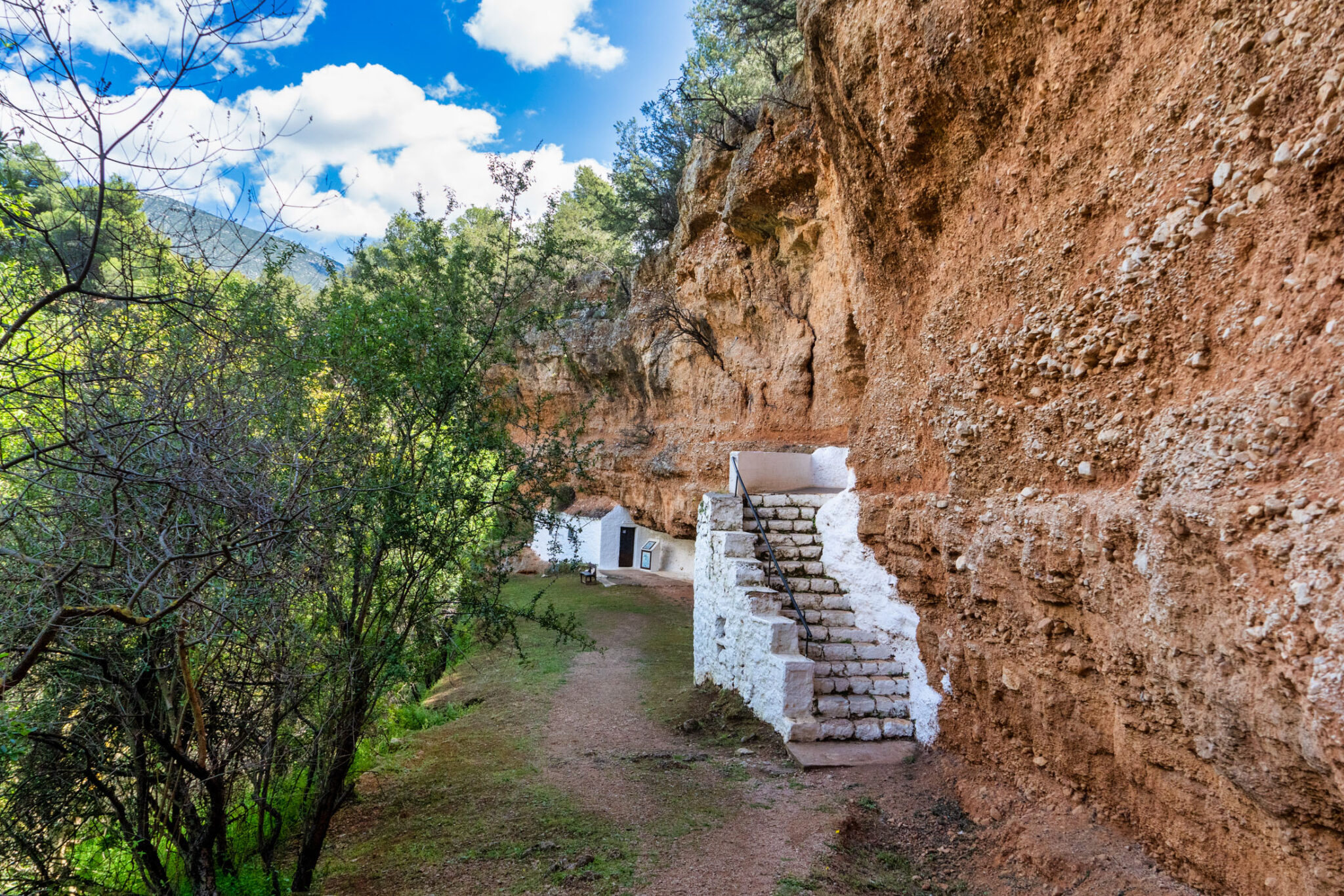
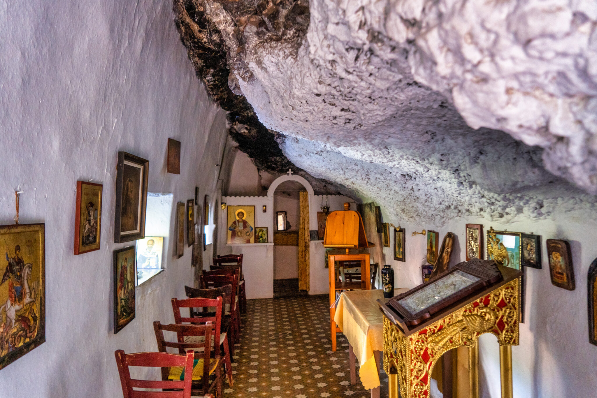
Looking up, the circular shape of the doline is striking. Turning right, we spot one of the two little chapels almost seamlessly built into the vertical reddish rocks—hence, it’s speculated that the small doline was used as a Christian place of worship during Byzantine times. It’s the chapel of Saint George, which was plastered in previous years. Otherwise, an old Byzantine inscription believed to have been there would be clearly visible, along with folk-styled murals, possibly from the 13th century, remnants of which are still preserved. The church of the Transfiguration of the Savior, which we will find as we continue our tour, is entirely built into the vertical rocks and is considered to have been constructed later than Saint George’s chapel.
Read also:
Road Trip to Ermioni: Experience the Island Aura in Argolida


