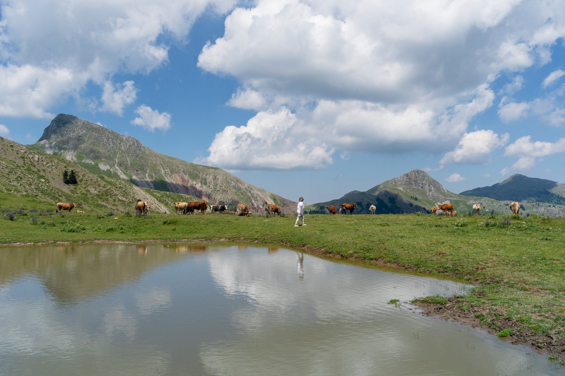
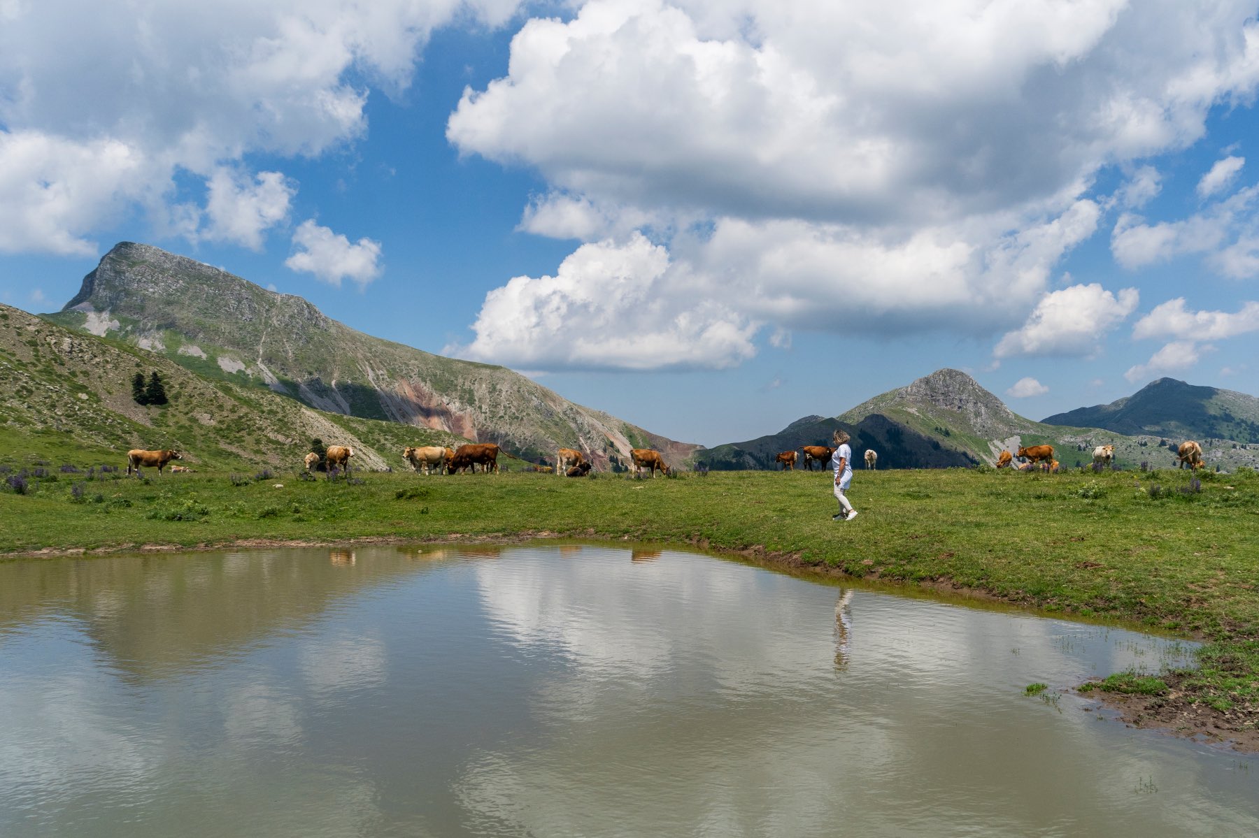
Even in these times of hyper-information and high-speed internet, if one hears about the lake in Kamaria, Evritania, and tries to Google it, one would hardly find any proof of its existence – let alone further information about it.
The small lake rightly claims the title of the most unknown lake of central Greece. In fact, it is characteristic that it does not even have its own name, since it is completely intertwined with the homonymous village of Evritania and its annual life cycle.
Thus, its existence is known only to those who happened to pass through the (non-tourist) Kamaria in spring or summer, travelling in the wider area of Agrafa. Besides, in winter the village is completely deserted, as everything around it freezes due to the high altitude – whereas the lake itself remains hidden from view.
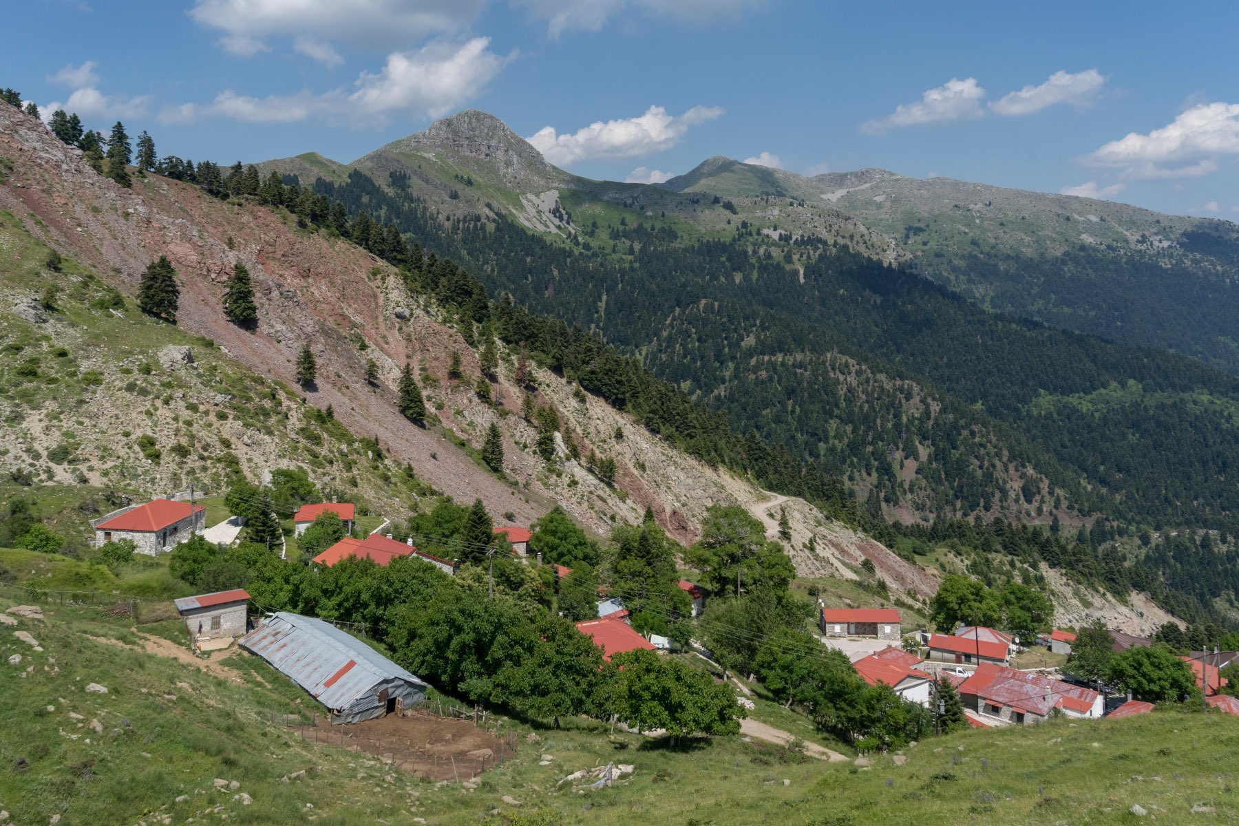
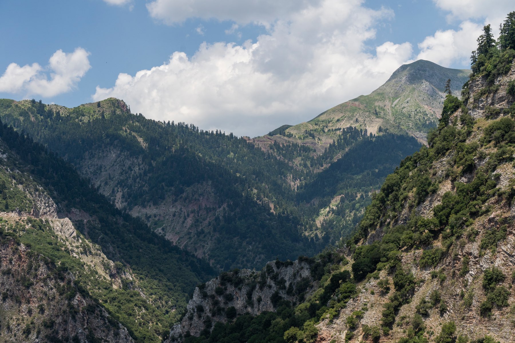
According to the available data on Greek wetlands, the coordinates of the lake are 39°8’19 “N 21°41’47 “E. This officially places it in the area of the small, pastoral settlement of Kamaria, to which it owes its name. Built at an impressive altitude of 1,480 metres, between the peaks of Karnopi, Svoni and Morforahi on that part of Agrafa on the side of Evritania, it is the most mountainous village of the entire regional unit.
Its inhabitants vacate it as soon as the first cold weather sets in and return to it with the arrival of spring, having spent the winter in prefecture Fthiotida or the wider Thessaly region – with their animals, of course. In the 2011 census, only 8 declared themselves permanent residents of Kamari, although in the summer it is estimated that about 60 people gather in the area, mainly engaged in animal husbandry.
Something similar happens with the small lake, which appears with the thaw and the revival of the surrounding nature. If you come here you will be impressed by how “alpine” it looks at such a high altitude, and you will also find out how beneficial the lake proves to be for the people of Kamari, as it is in this lake that they water their animals every time they return to the village.
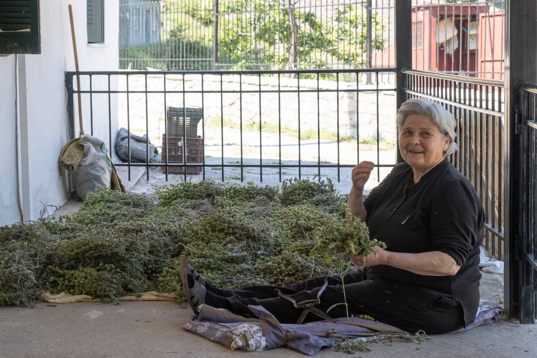
The more observant, however, will notice that some rare herbs and wildflowers grow in the meadows of Kamari, as well as in the village itself, which looks particularly picturesque as the spring sun shines on the red tiled roofs of its houses.
How to get there
Kamaria is 15 km away from Agrafa and in order to reach it you have to climb their most mountainous side, starting from Karpenisi. The asphalt road goes up to Chriso, from there onwards dirt roads begin and the route becomes arduous and uphill – especially on the steep slope of Mumzeli. Once you reach the pass, continuing straight on, you will come out at Kamaria.
Starting from Karditsa, the asphalt road will lead you to the village of Saika in Agrafa. From there, a very steep dirt road starts (be careful, not the one heading towards Nialles), which will lead you to Kamaria.
Read also:
Lake Chimaditis: an amazing, yet little-known wetland in Florina
A waterfall and a cave: The wild beauty of central Greece
Vrontos waterfall: Cascading secret of Arcadia mountain range


