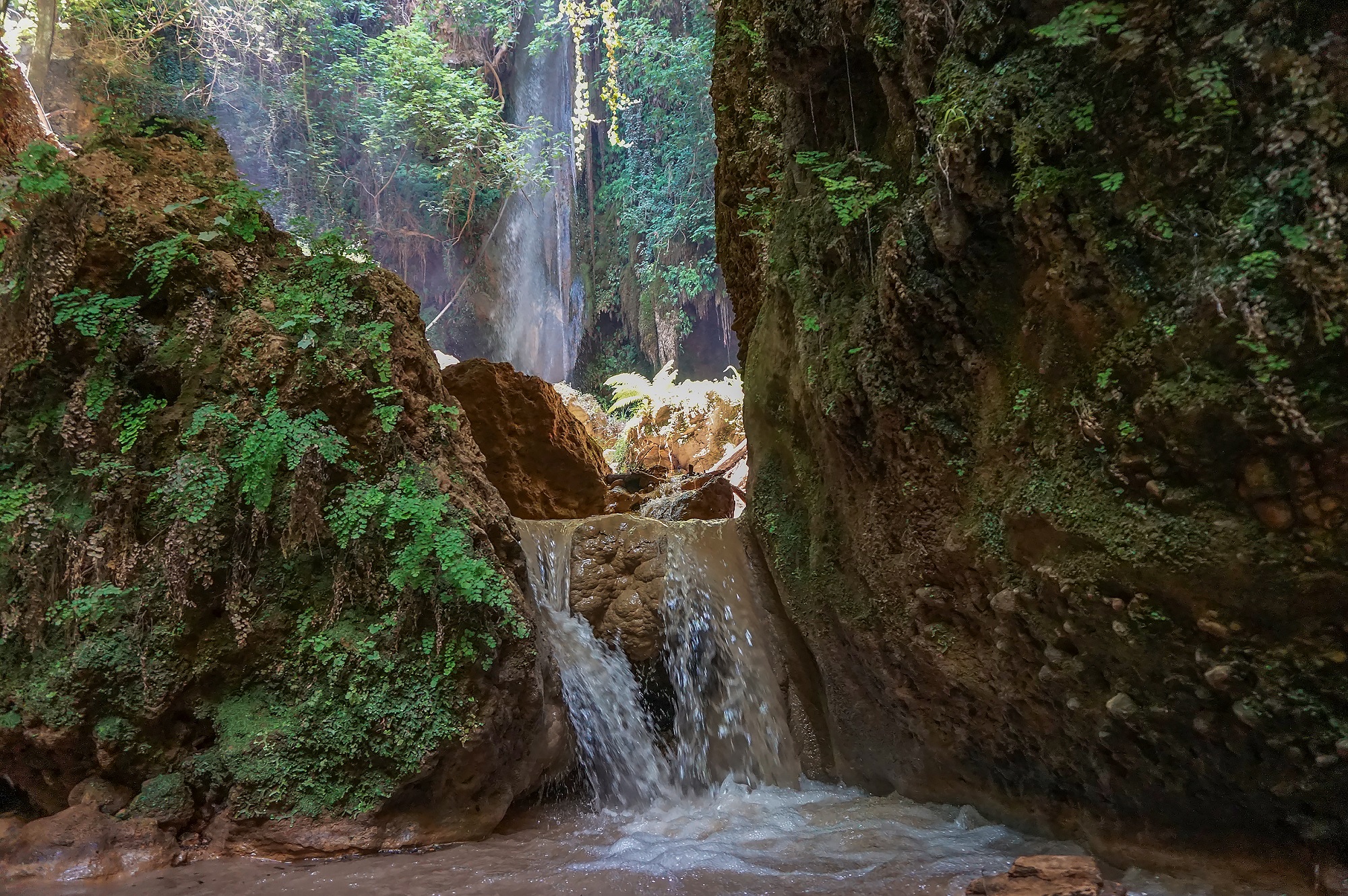
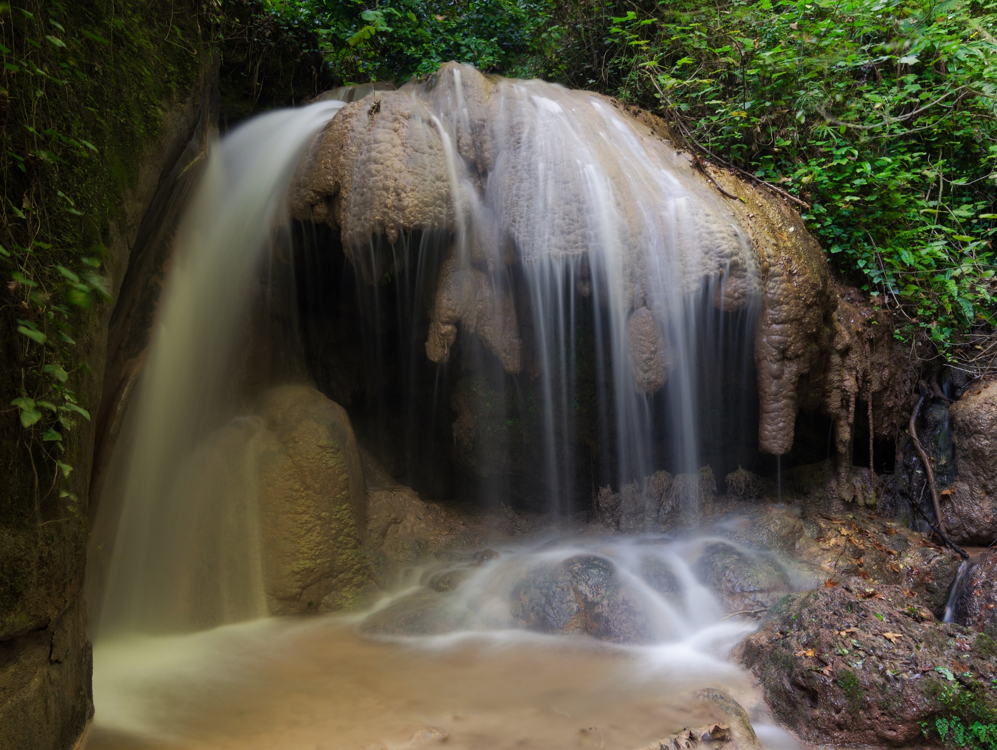
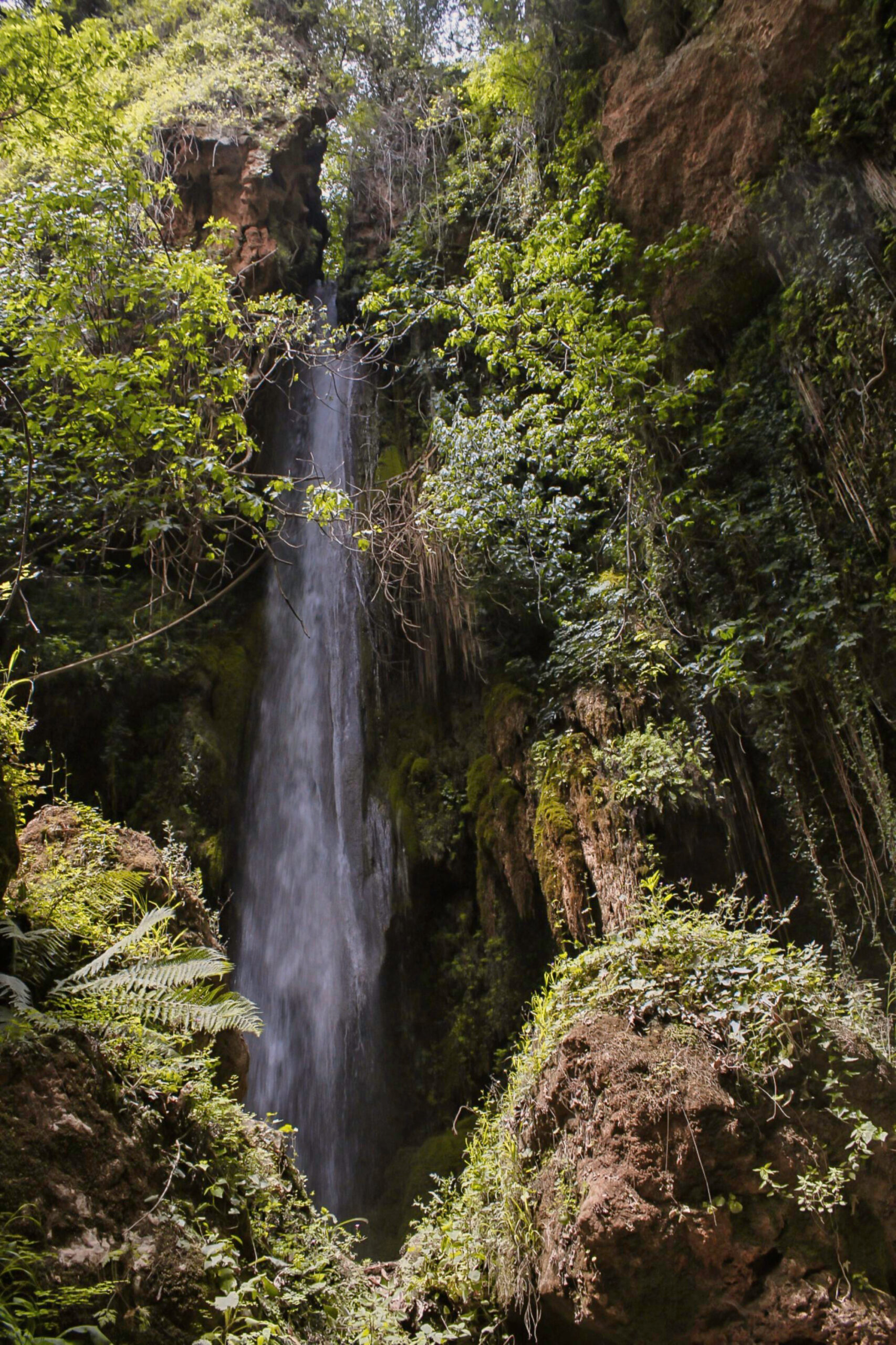
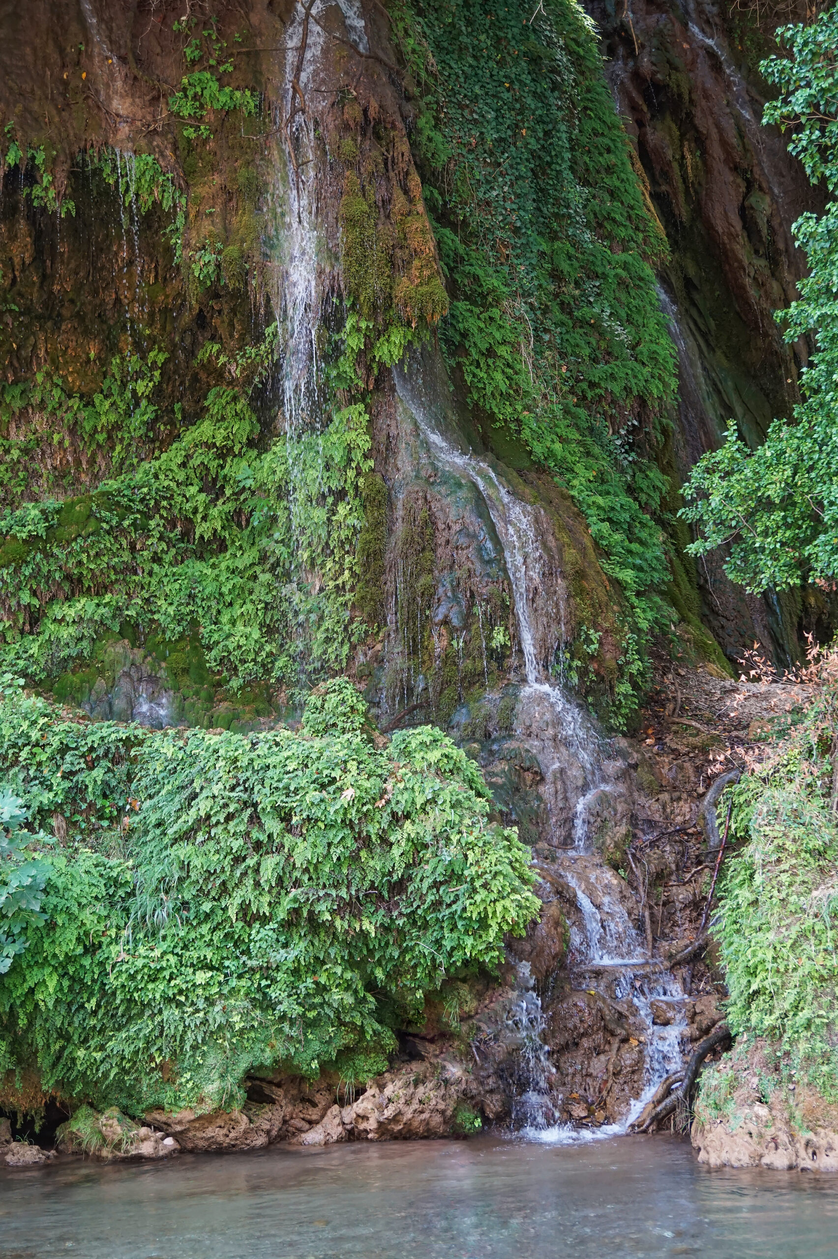
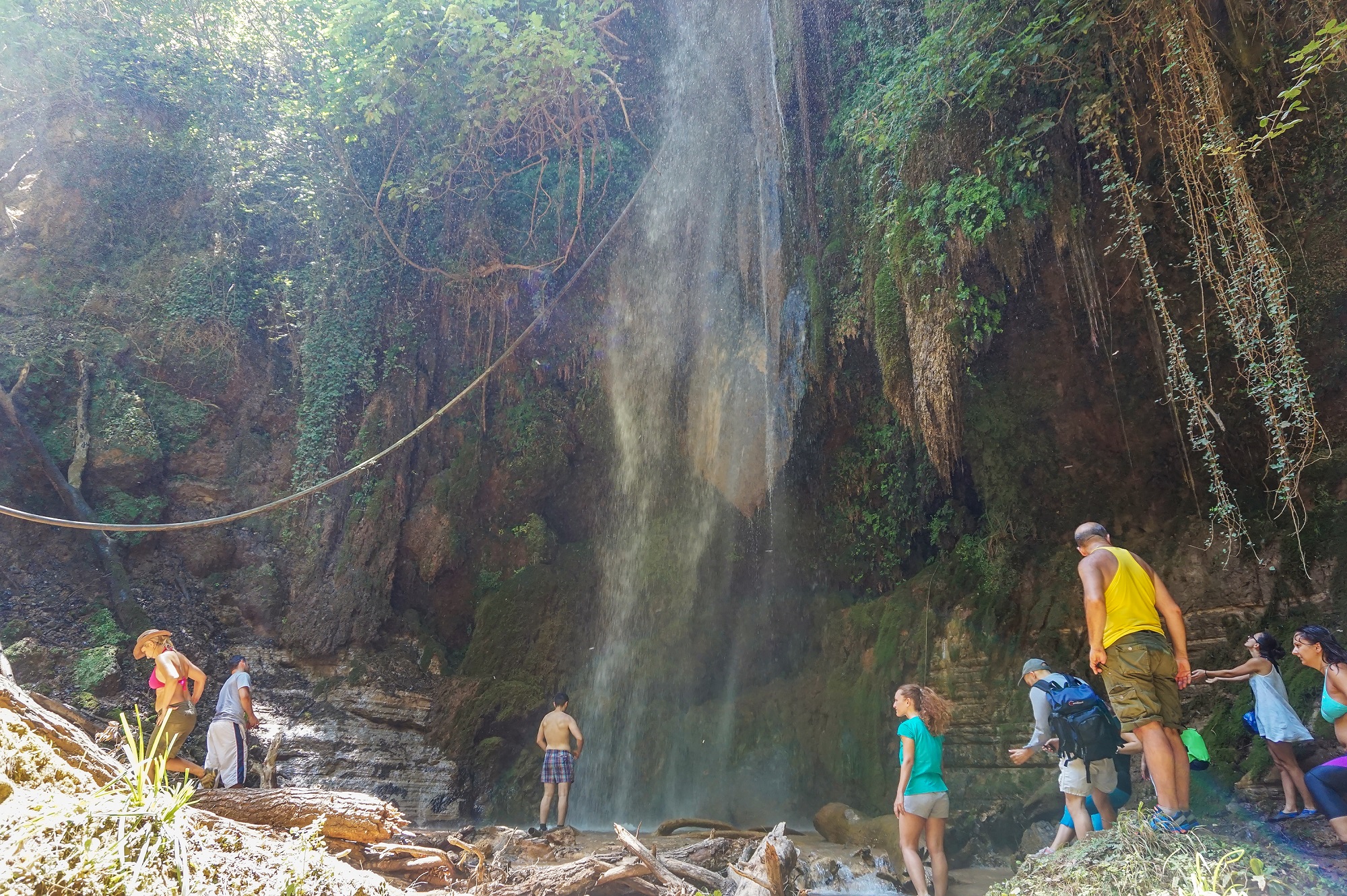
Although numerous and despite their proximity to Ancient Olympia – the second most visited archaeological site in our country, after the Acropolis – the waterfalls of Nemuta remain unknown to visitors to the area. In fact, many consider them to be one of the best kept secrets of the Peloponnese, as they have not been exploited for tourism and there are no signs leading to them.
The waterfalls are named after the village of Nemuta, which is located in the mountainous Ilia region, at an altitude of 562 metres. Many have wondered about the specific name, but it is not clear whether it comes from an old Slavic toponym, from an ancient Greek word associated with pastures, or from the years of Frankish rule in the Peloponnese.
In ancient times it was believed that centaurs lived in the forest land that today we call the gorge of Erymanthos, while later local legends claimed that it was the home of fairies. The waterfalls are part of the system formed by the river Erymanthos as it flows from the mountain of the same name towards the Alpheus river (which it eventually joins). Most of them flow into the Amboula gully and the Haratsaris gorge.
In the summer of 2021, Nemuta was threatened by a large-scale fire, which brought it briefly into the news. Fortunately, despite the damage done to the beautiful forested area, the flames did not reach the ground of the falls.
Most of these waterfalls remain difficult to access, hidden among wild vegetation and on several steep slopes, allowing them to cascade spectacularly from heights of 10 or even 20 metres. However, three of them (the so-called “Gate of Paradise”, Soufala and Agios Ioannis) are easily accessible. There is no risk of getting lost, thanks to Nikos Siakkoulis and Panagiotis Papailiou; two residents of Nemuta who are working diligently to map out this unique waterscape, while trying to make it more widely known.
How to get there
Nemuta is located near the borders of the prefectures of Ilia, Arcadia and Achaea, 42 km away from Pyrgos. If you are travelling from Athens, it is better to take the Corinth-Tripoli provincial road and take the exit for Ancient Olympia. From there it will take you another 2 hours to reach the village.
As for the waterfalls themselves, now, if you are experienced hikers, it is recommended that you follow the 12-kilometre route on the M3 path, which starts from the neighbouring village of Foloi. Along this path, you will reach the most inaccessible parts of the waterfalls, witnessing a stunning scenery, which for many is reminiscent of an exotic destination. Along the way, don’t be surprised if you come across wild boar traces.
Inexperienced hikers, however, are recommended to take the dirt road starting from the central square of Nemouta towards the east, leading to the neighbouring village of Elaia. If you don’t feel like hiking, you can also do it by car, stopping at the bridge of Erymanthos. This means that the falls are an ideal destination for the whole family.
So when you get to the metal bridge of Seyit Aga you will see a path just before a typical wooden bridge with wooden tables. After 10 minutes of walking through plane trees, you will reach the “Gate of Paradise” – one of the most impressive waterfalls in the area which falls from 20 meters high. If you then want to continue towards Soufala and Agios Ioannis, you will have to return to the main road and cross the bridge, reaching Elaia.
To the north of the settlement, walking along a path surrounded by a local variety of olive trees (which produce excellent quality wild olives), you will reach Soufala. A little further on you will then find the two small waterfalls of Agios Ioannis, the only ones that flow directly into the Erymanthos River. In summer you can also swim in the cold waters – both of the waterfalls and the river.
Read also:
Smolikas Drakolimni: Sub-alpine lake with wild orchids on Greece’s second-tallest mountain
3 lake areas near Athens ideal for nature, good food, scenic routes
Milies: A stunning village embodying the essence of Mount Pelion


