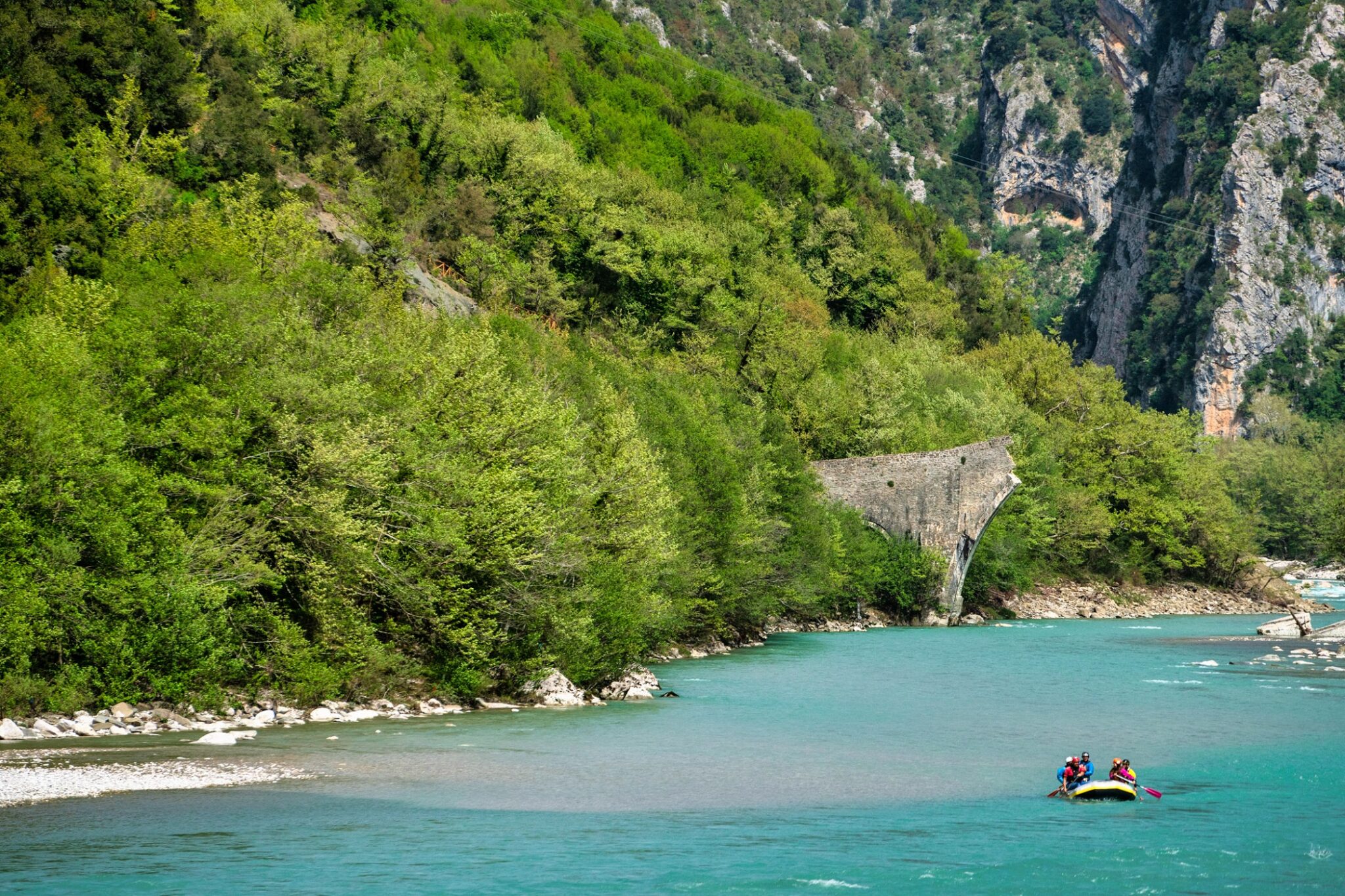
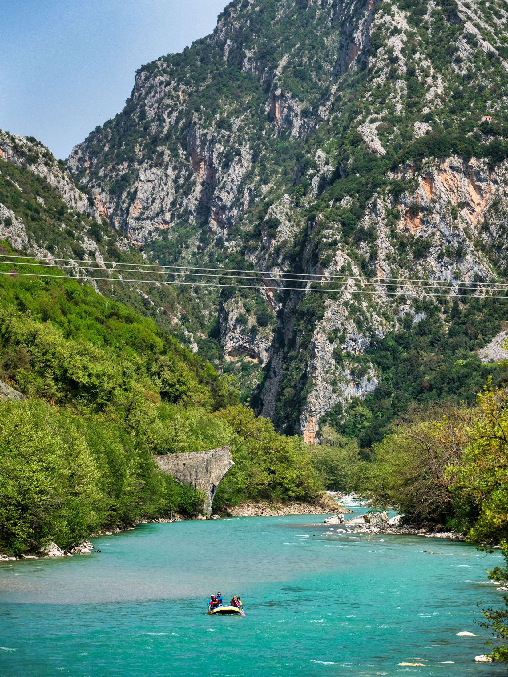
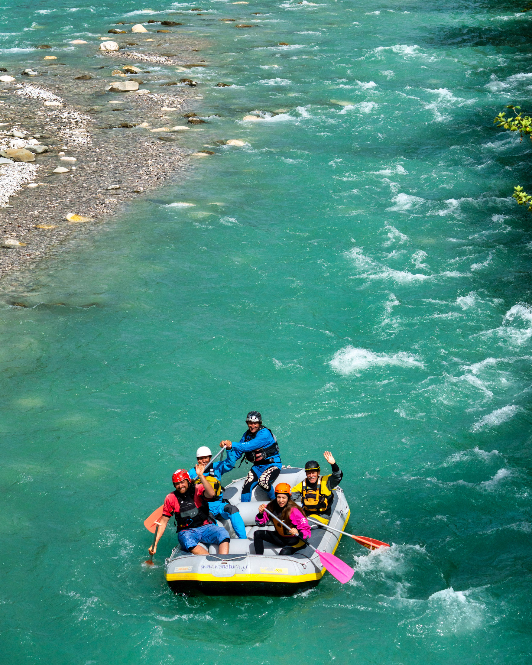
Starting near Metsovo and emptying into the Adriatic Sea along a 110-kilometre route surrounded by lush nature, rapids and waterfalls, the Arachthos river has become popular as a rafting destination where outdoor adventure and nature appreciation are combined.
Although the river is not as large as the Aliakmonas or nearby Acheloos, it still ranks among the top 10 largest rivers in Greece and has become a popular destination for tourists and locals alike. Whether you are a nature lover who loves outdoor action or a rafting enthusiast, the river is a great experience for rafters and hikers of all ages.
As the eighth-largest river in Greece and one of the most impressive in Epirus, the Arachthos flows through naturally remarkable areas and has been included in the European Natura 2000 network and in the National Park of Zagorochoria.
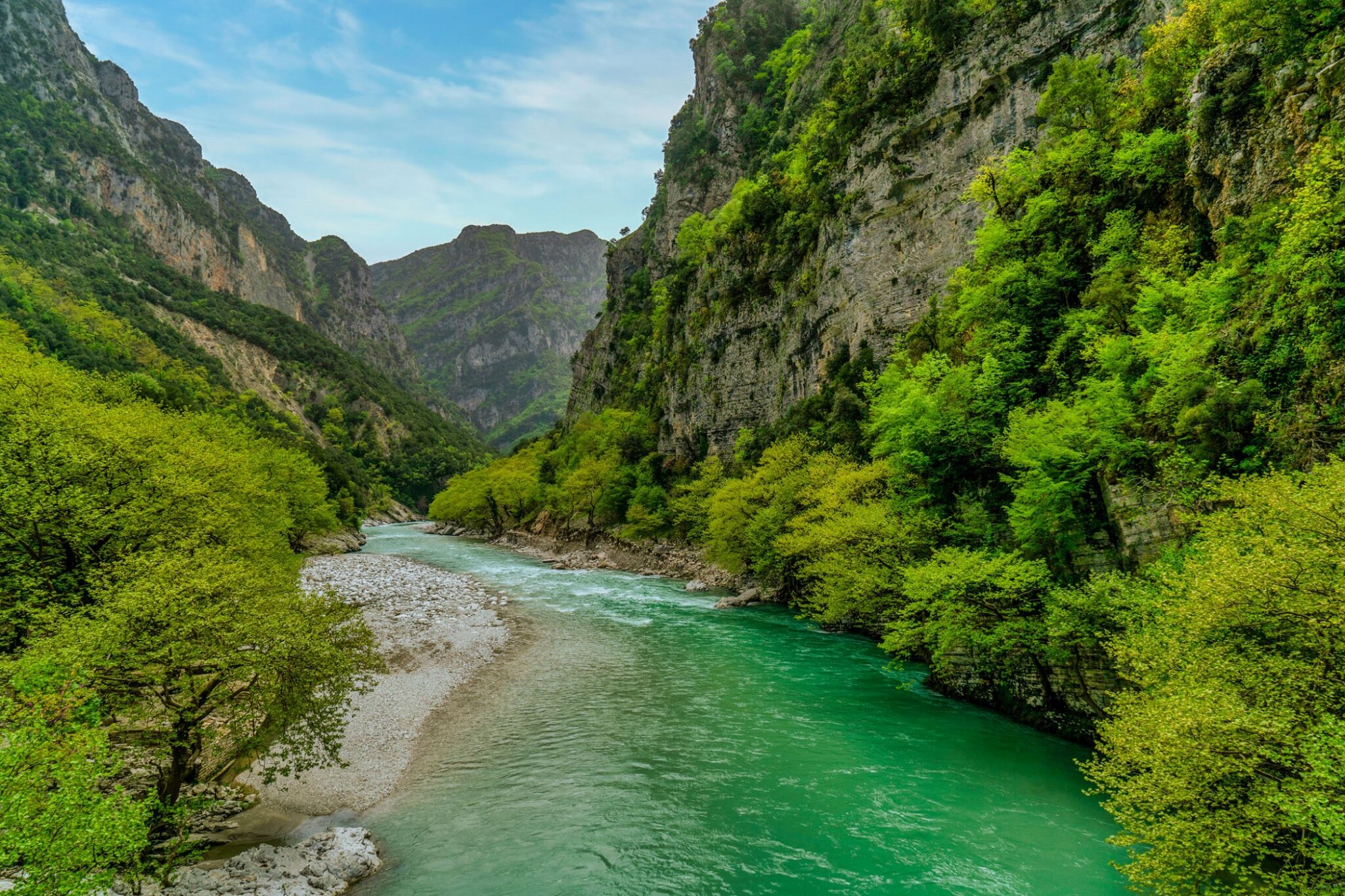
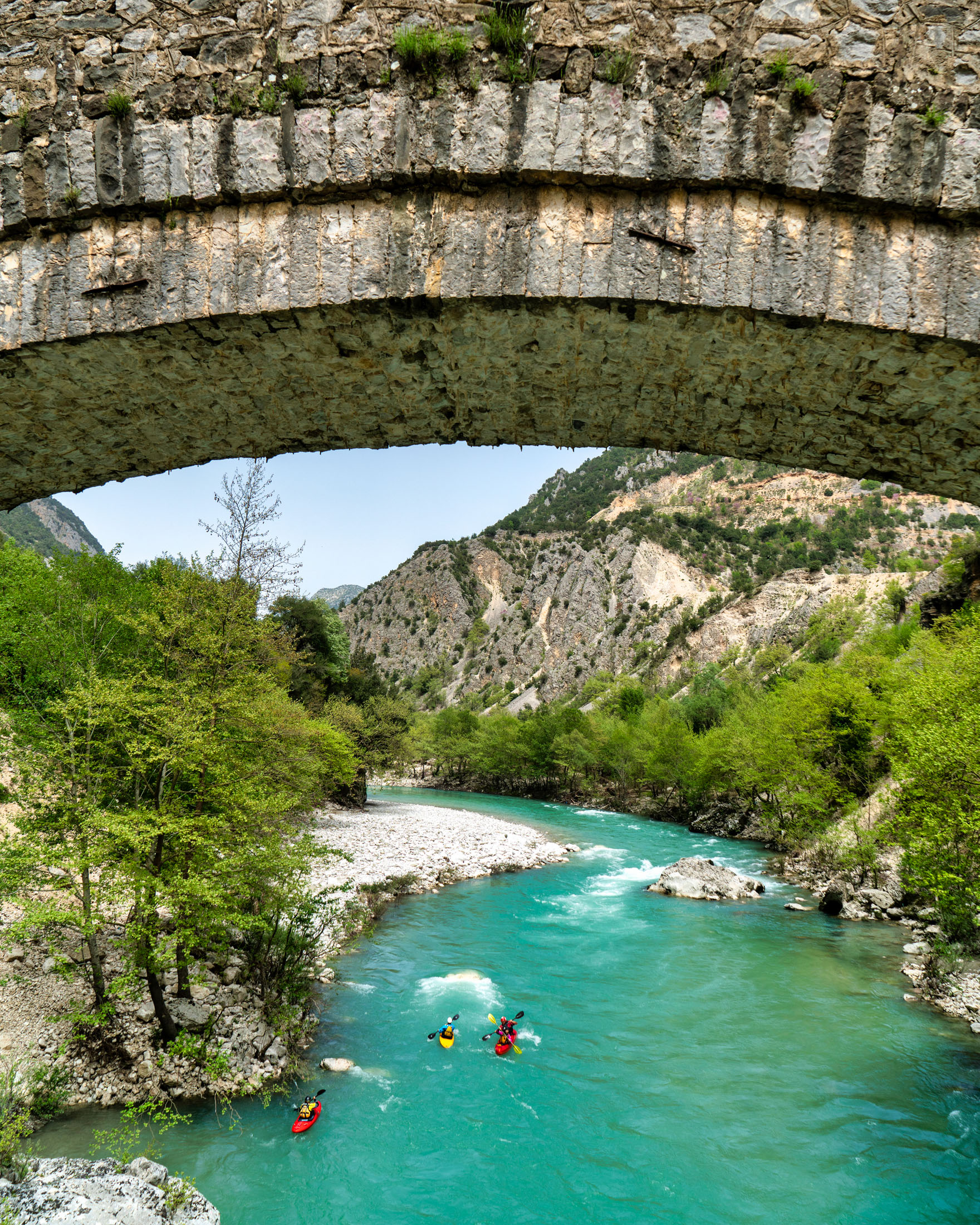
In the majority of its course, the river flows through large, lush forests that stretch all the way down to the riverbanks. At higher elevations, the dominant trees are mainly conifers, while at lower elevations and in flatter areas, you’ll mostly come across beeches, oaks, plane trees and hornbeams. Another special perk of travelling along the river is that throughout its 110-kilometre route, it passes under a total of 55 stone bridges, including the well-known stone bridge of Arta, which are charming representative features of Epirus’ renowned stone masonry tradition.
Mentions of the Arachthos river go as far back as ancient Greece when it was called the Inachos and described as a navigable river that reached the city-state of Ambracia. However, texts reveal that it has also been called Araththos, Aratthon or Araiton, a name that was widely used during the early Christian era, and that eventually turned into its modern name.
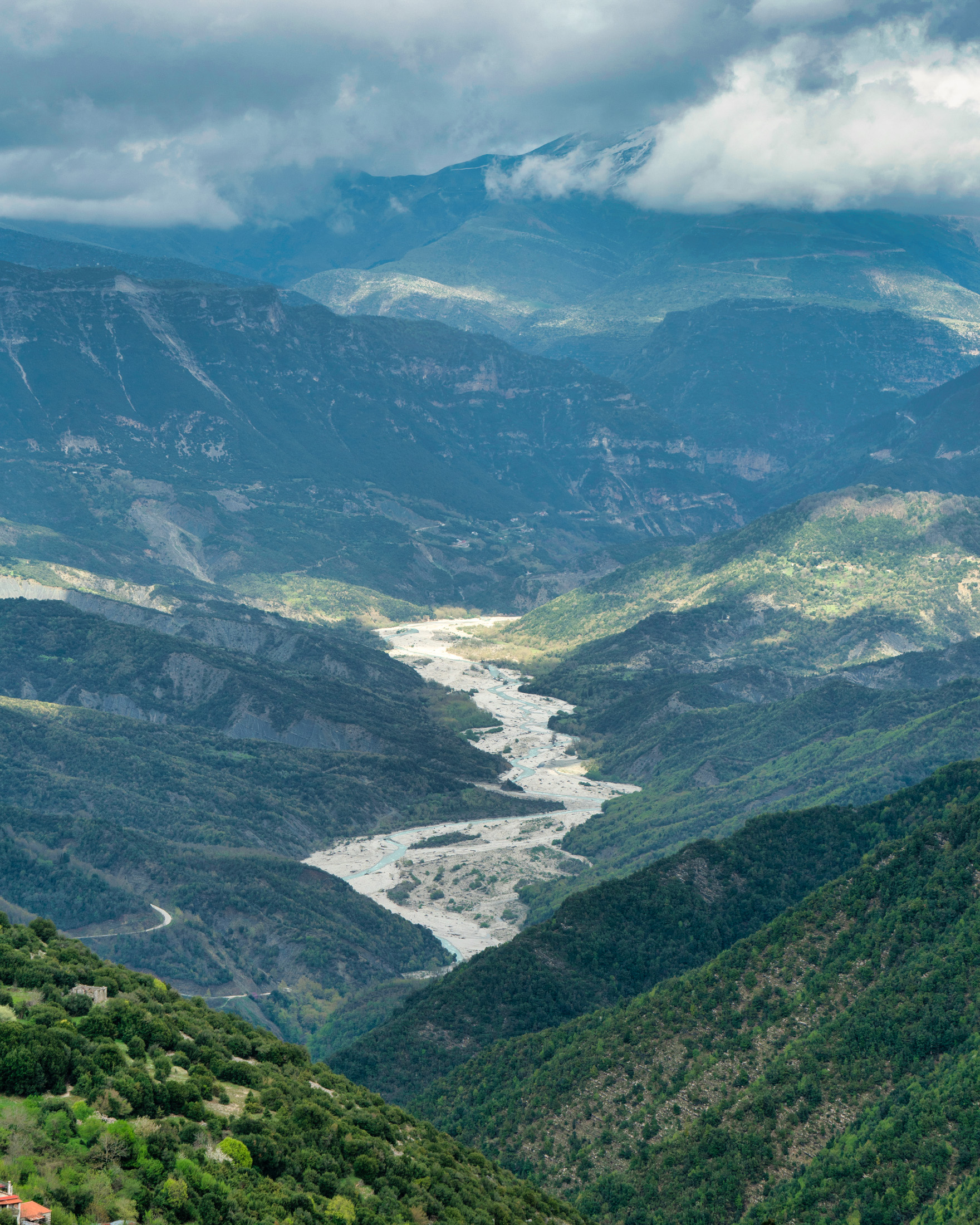
The river’s sources are located in the northern Pindus Mountains, on Mount Mavrovouni and in the Rona forest, in an area known as Oksia Despotis, at an altitude of 1,700 metres. From there, it flows south and into a small valley between the mountains of Mitsikeli and Laimos, and reaches east of Ioannina. After flowing through the Zagorochoria villages, it then travels through almost all of Arta, finally emptying into the Ambracian Gulf.
Throughout almost the entire course of the river, one passes dense virgin forests that are richly biodiverse habitats that host a great range of flora and fauna, a fact that makes this destination especially appealing to nature lovers and bird watchers.
Waterfowl live around the river, while the lakes that form at its exits are home to many species of ducks, geese and wild swans, as well as flocks of herons. Along the middle of the course, one may come across white pelicans, egrets, mallards, ducks, water hens, swans and cormorants as well as predatory birds like sparrowhawk, owls, short-toed snake eagles, buzzards, as well as rare white scavenger vulture.
As for aquatic life, many varieties of frogs and newts, but also 20 species of fish live there. Endemic to the river is the so-called Arachthos bullhead, while the presence of crayfish, crabs, lobsters and freshwater shrimp have also been recorded.
A rafting lovers’ paradise
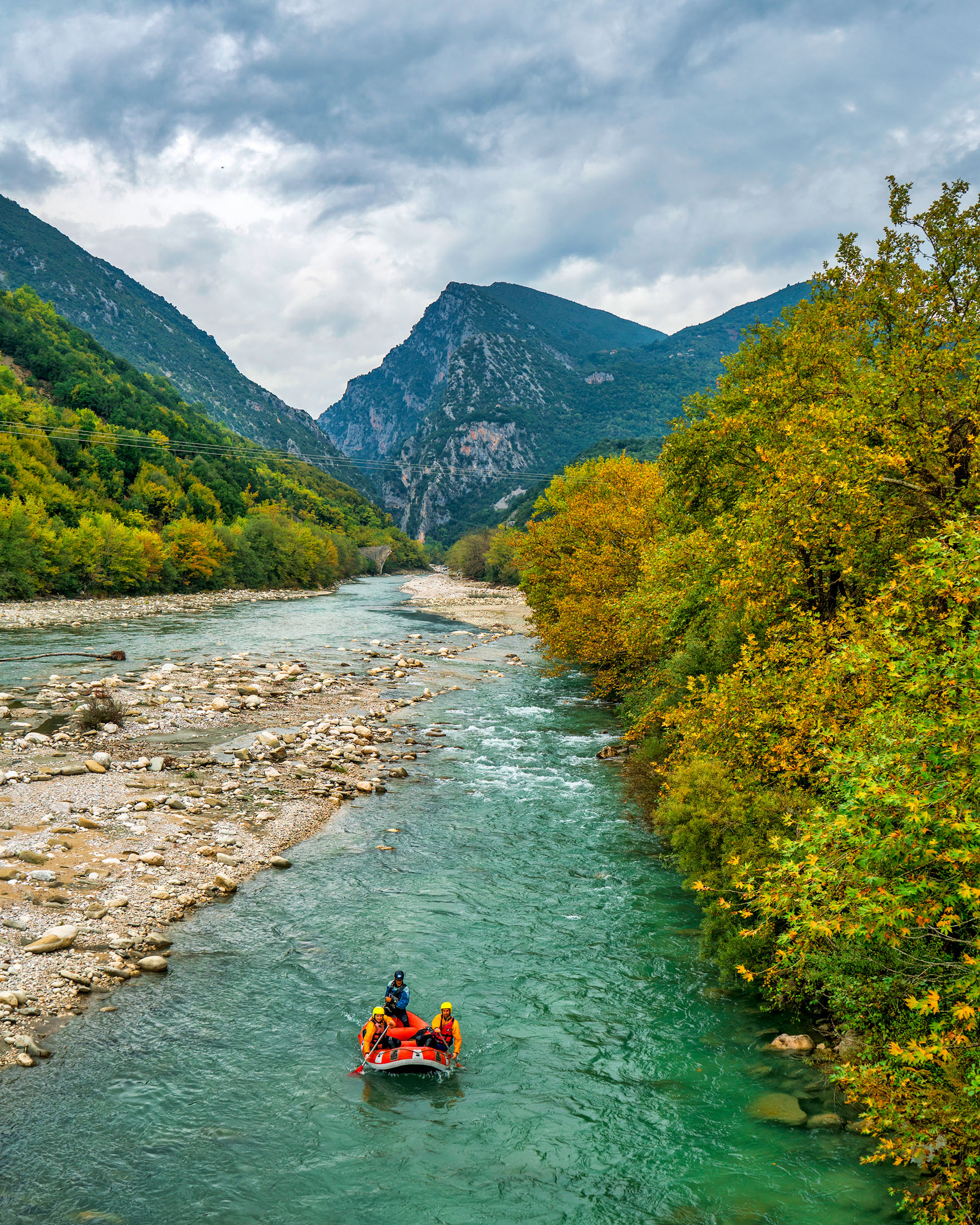
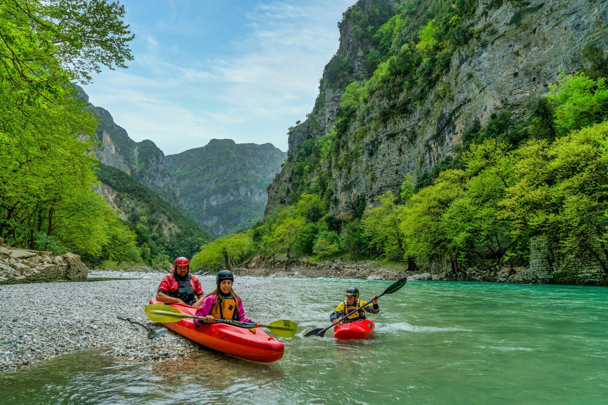
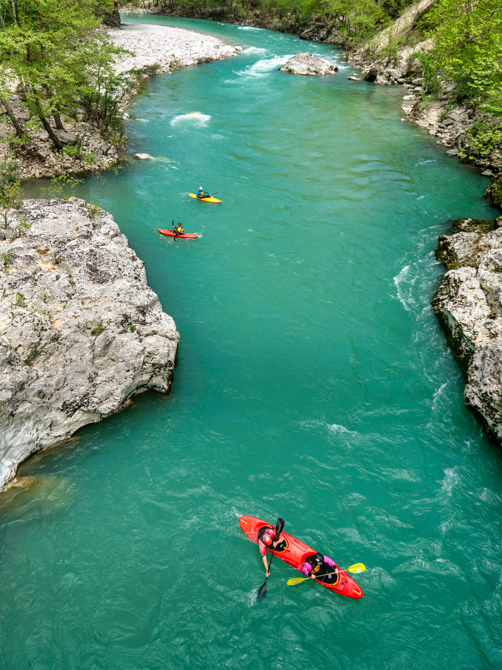
The 110 km-long Arachthos River can be reached from numerous points along its course. Most people prefer to access it from the area near the exits, which is 350 km from Athens and 323 km from Thessaloniki. In this case, Arta is considered the best starting point. Those heading to the upper part of the river go in the direction of the Agnantas, Pramanta, Ktistades and Katarraktis villages. Arachthos’s waters are ideal for rafting, canoeing and kayaking, and several organisations plan expeditions there throughout the year – mainly with the prerequisite that you are older than eight years of age and know how to swim.
The part of the river that starts from the Politsas Bridge in Ampelochori, and ends at the famous Plaka Bridge is considered to be the most scenic. It passes the beautiful Klifki (14 metres high) waterfall and its natural lake, where in the summer you can stop for a refreshing swim. The aforementioned route is about 10 km long and suitable both for beginners and advanced rafters (some turns and passages require some experience) and takes around four hours to complete (on the way back).
Anyone seeking more challenging courses usually takes the route from Politsas to the Tzari Bridge – where large waves form – or the routes that start from the Charokopiou Bridge in Tsimpovo either to Plaka Bridge or to Skoupa Bridge. The second one, which is especially challenging, has a duration of two entire days.
Read also:
Gerolimni lake, lush natural wonder in the Cyclades with running waters
Megali Panagia: Mountainous Halkidiki destination with rich streams, picturesque bridge


