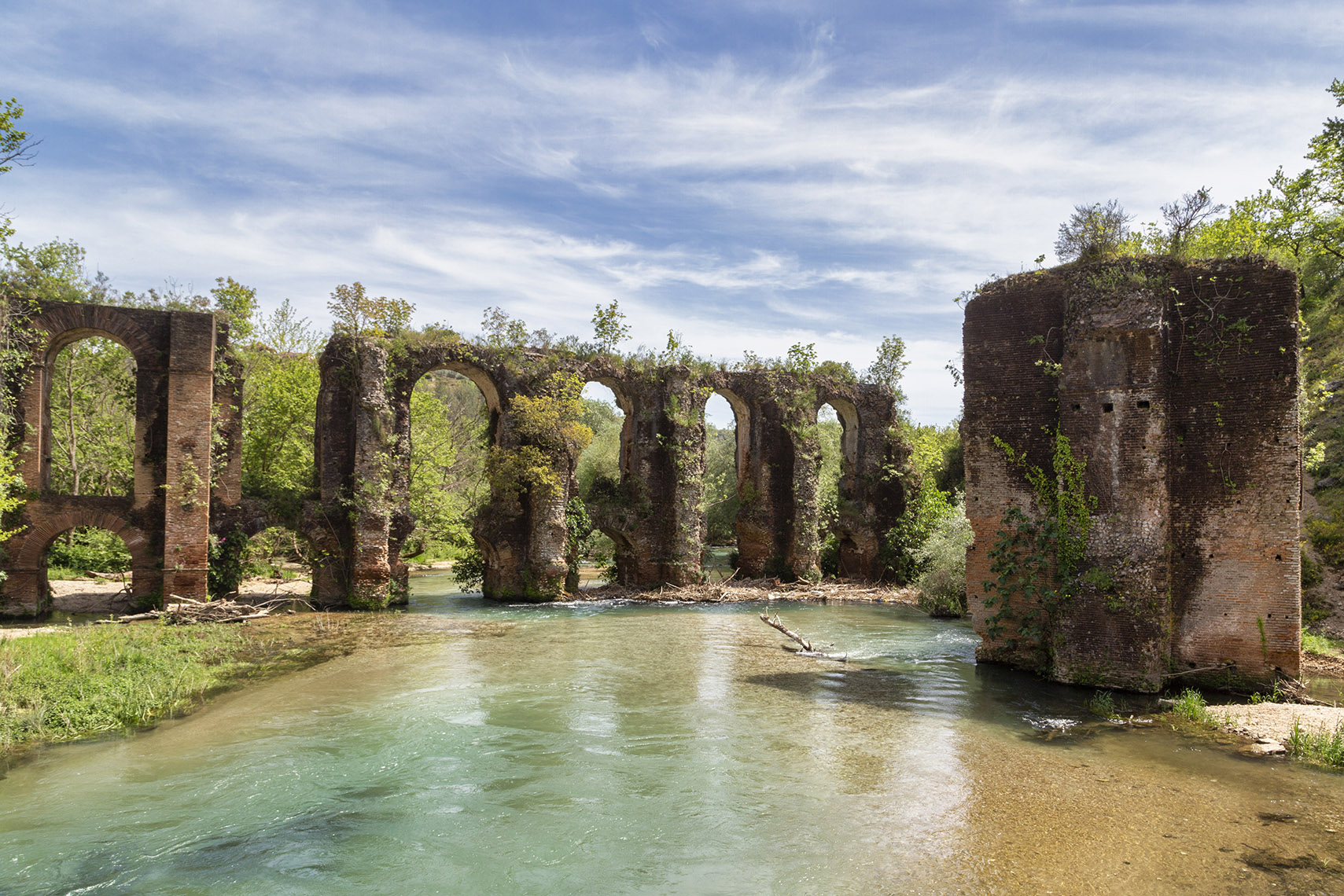
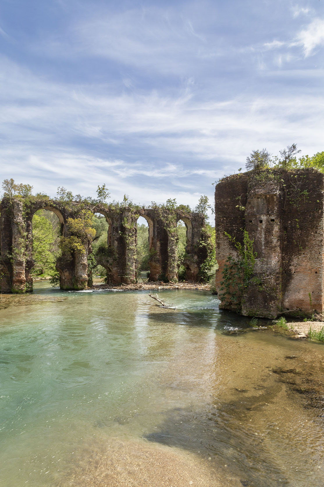
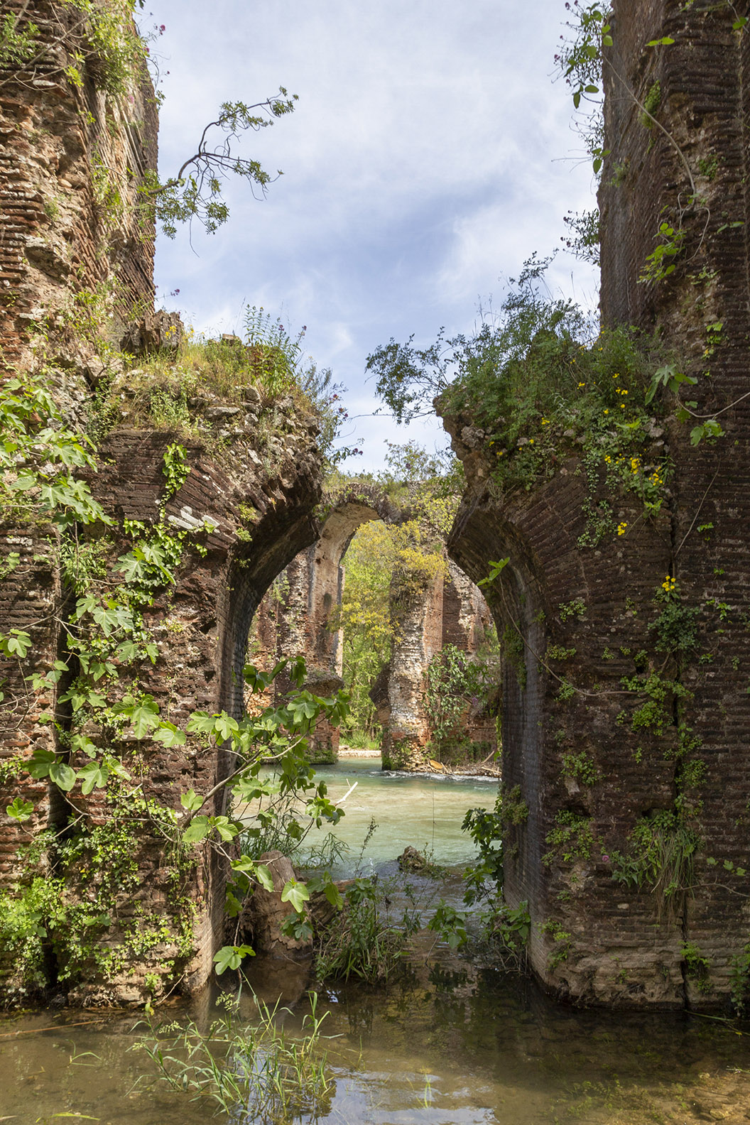
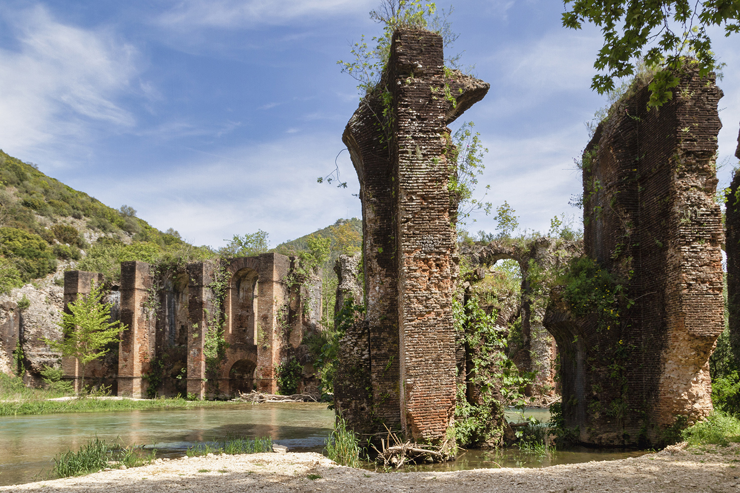
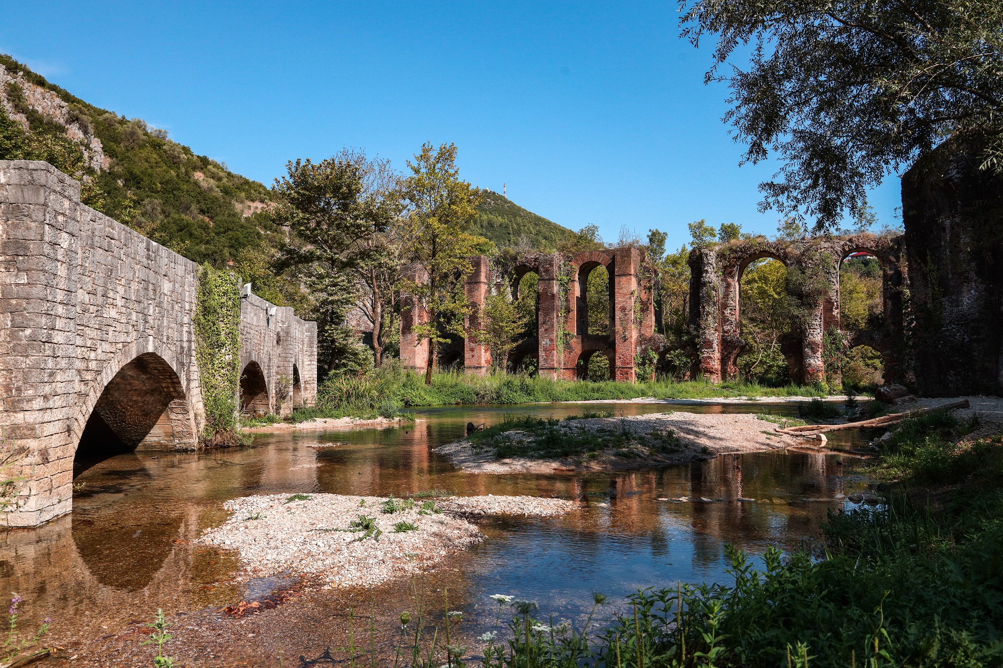
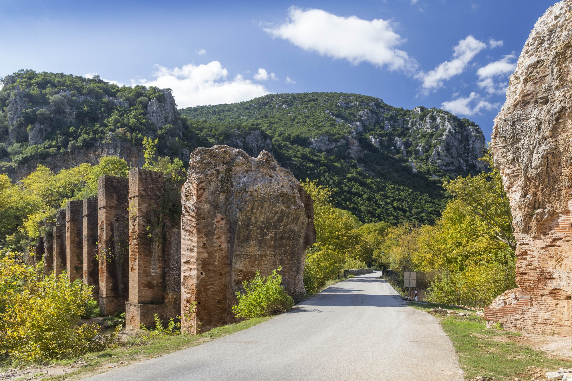
Thanks to its excellent preservation over the centuries, ancient Nikopolis gives modern visitors the opportunity to admire the architecture and urban planning of the Romans. What is most impressive, however, is its aqueduct: a unique project for its time, based on a 50-kilometre-long network, which allowed the exploitation of the headwaters of the Louros river.
Nikopolis is the child of a transitional but pivotal period in which Rome was transformed from a republic to an empire. It was built in 31 BC, as a symbol of Octavian Augustus‘ great victory at Actium, against Marc Antony and Cleopatra – in a naval battle that always had a Greek colour, since Cleopatra was the last queen of Egypt descended from the Macedonians who arrived there with Alexander the Great.
Nikopolis also became a lever of Romanization and control over the whole of western Greece, as many inhabitants of other cities in Epirus and Acarnania were forced to leave, moving to Nikopolis permanently. The city survived until the 11th century, when it was abandoned by the Bulgarians. However, the infrastructure remained intact, and the fact that no later settlement was founded in its place helped to keep it in good condition given its age.
The monumental aqueduct may well have been constructed as early as the time of Octavian, although the views of more recent scholars converge towards the 2nd century AD, during the period when Hadrian was emperor. Before it was built, the Nikopolitans kept their water in barrels, which they filled either at wells or from small springs.
The Romans were renowned for their engineering and topographic skills, thanks to which they had already equipped their country with an exemplary water supply system. Even so, in Nikopolis they achieved a technological wonder for their time, creating an extensive 50-kilometre-long network using Louros’ headwaters, ensuring an adequate water supply for Nikopolis. Today it is believed that it was not a medium-sized city, but a megalopolis of about 150,000 inhabitants.
As a whole, the project consists of alternating overhead aqueduct systems with arches necessary to bypass the Louros valley, combined with above-ground trench pipelines, as well as a tunnel dug into the hills of Kokkinopilos. Through a pipeline, water was transferred from Louros’ headwaters to two reservoirs in the Nymphaeum of Nikopolis, from where it was then piped through smaller pipelines to the rest of the city.
Remains of the aqueduct can still be seen at various points in the wider area, giving the visitor the opportunity to admire the mastery with which the Romans made use of the difference in altitude between Louros’ headwaters and Nikopolis – which amounts to about 80 metres –, ensuring that the aqueduct sloped slightly as it approached the sea. They even ensured that there were ventilation openings on the slopes and piers in the lowlands.
Around 350 the Emperor Julian financed extensive maintenance work, so it can be assumed that the aqueduct was still in operation in the early Byzantine years. It seems to have been abandoned when the area entered irreversible decline after the chaos caused by the disastrous Ostrogothic invasion in 551.
How to get there
Built on the peninsula that separates the Amvrakikos Gulf from the Ionian Sea, ancient Nikopolis is located 8 km north of the town of Preveza. The access by road is very easy via the Preveza-Ioannina highway.
The remains of the aqueduct at various points along its route to Nikopolis can also be visited; the sites of Archangelos, Stefanis and Skala Louros, as well as the section that survives at Louros’ headwaters – in the village of Agios Georgios, a few kilometres north of the small town of Filippiada, are easily seen.
Read also:
Greece’s Lake Ziros: A Hidden Gem ideal for Canoeing and Hiking
Nemuta: The unknown waterfalls of mountainous Ilia are quite a spectacle
Smolikas Drakolimni: Sub-alpine lake with wild orchids on Greece’s second-tallest mountain


