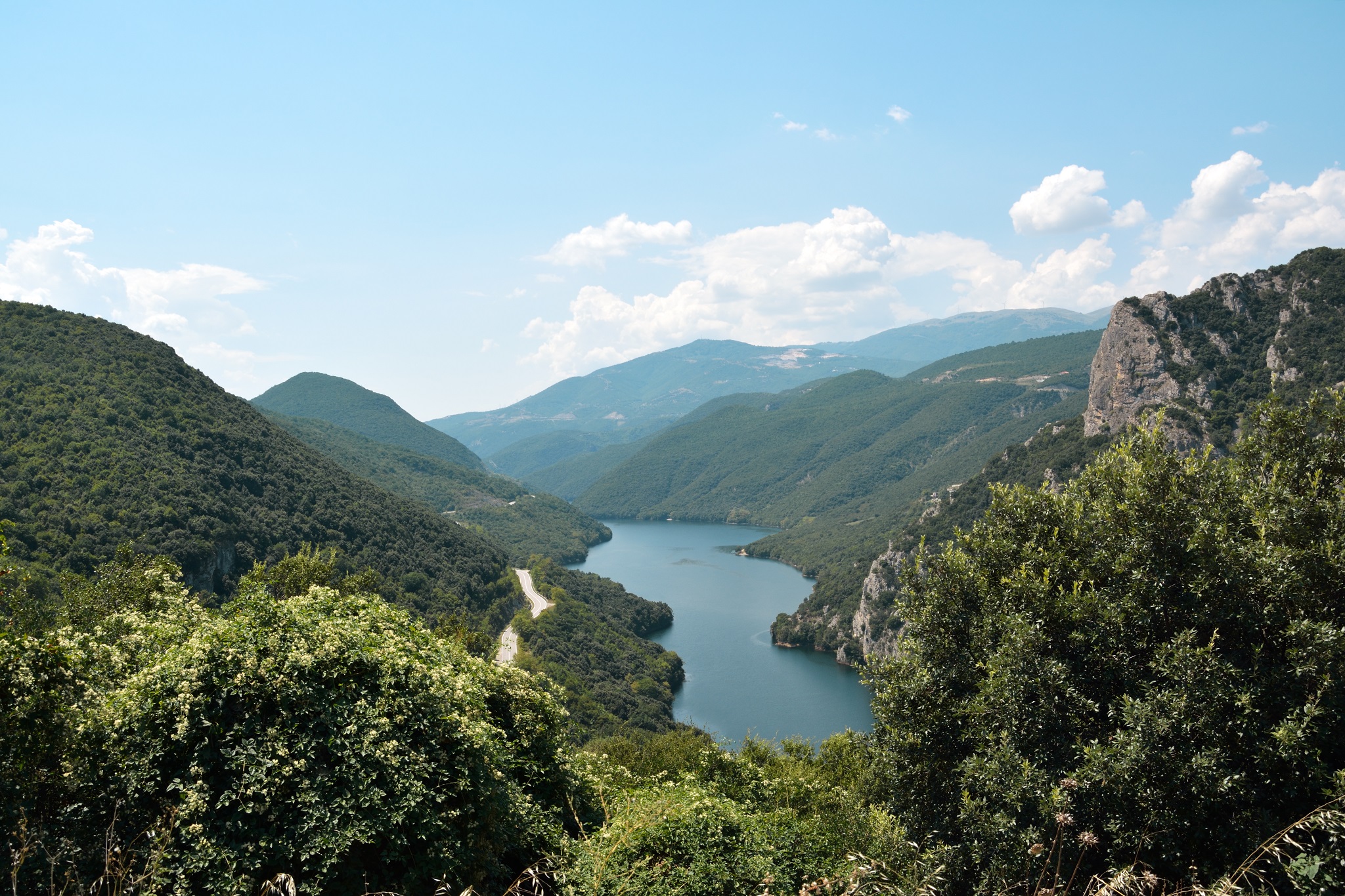
The Ottomans called it ‘Ince-Kara’, the Slavs gave it the name ‘Bistritsa’ (swift river), and in ancient Greece it was known as “Aliakmon”, which in modern times evolved to Aliakmonas. Regardless of its name, the majestic river dominates as the longest watercourse in the country, stretching an impressive 297 kilometres. It has swathed the northwestern expanses of Greece until a dam was erected in the 1950’s in the village of Agia Varvara in Imathia, which gave it a stable riverbed and prevents flooding.
In its current form, the river starts from the Grammos mountains near the Greek-Albanian border, and makes its grand exit into the Thermaic Gulf of Thessaloniki, traversing through the regional units of Kastoria, Grevena, Kozani, and Imathia.
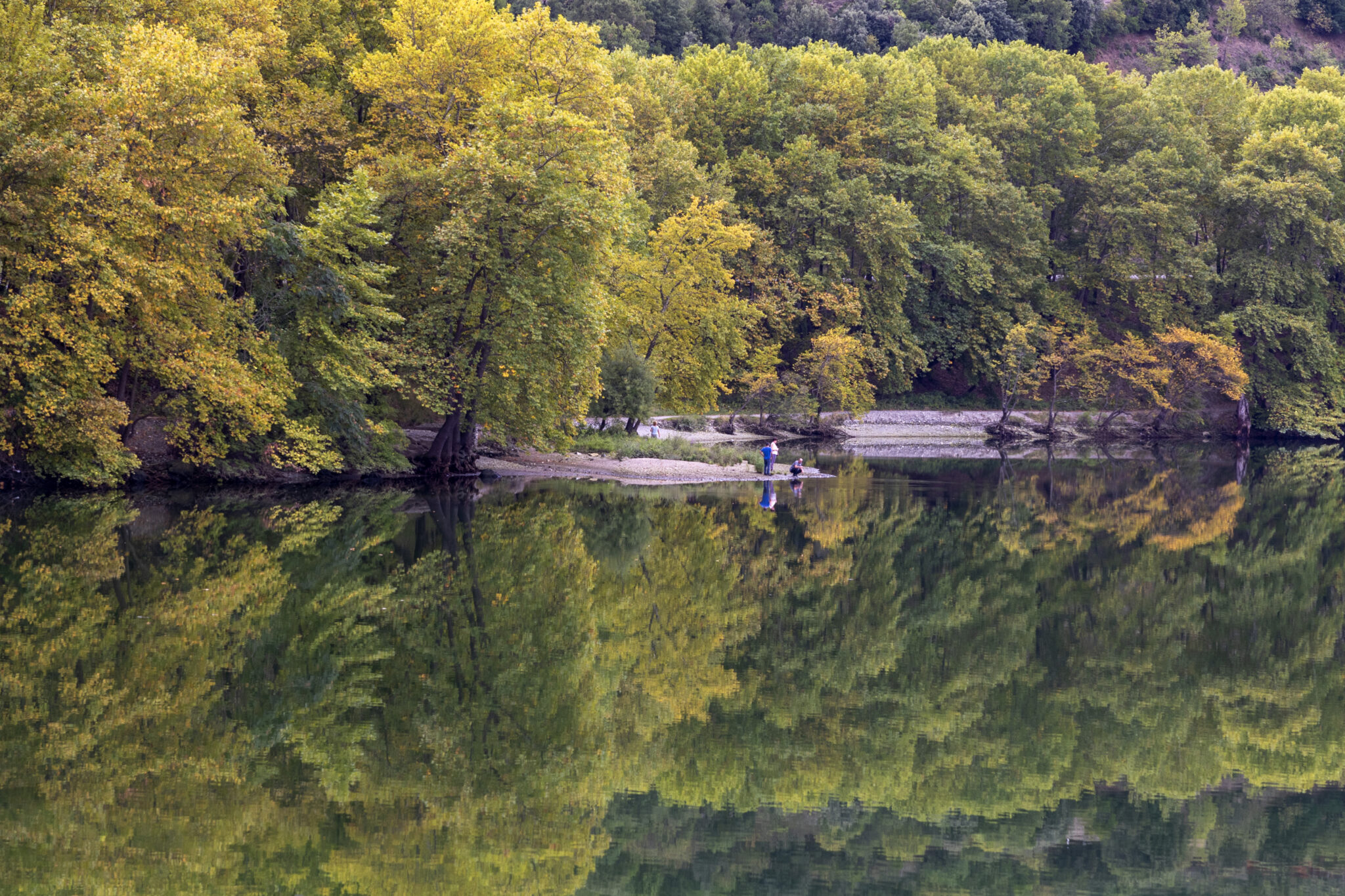
Naturally, such a sizeable river has multiple faces and is loved for a multitude of activities that can be enjoyed along its banks. Rafting enthusiasts arrive there from around the country to get their thrills especiall on the route that begins at the Felli of Grevena and reaches all the way to the intersection with the Venetikos tributary. Nature lovers flock to the part of the river in the national park alongside the Axios, at the border between Grevena and Kozani, and especially love the area that flows past the Rymnio bridge. The autumn, before the onset of the heavy rains and the typically biting cold of western Macedonia, is the ideal time to witness its beauty.
Near Rymnio – Beautiful Waters and Stunning Imagery
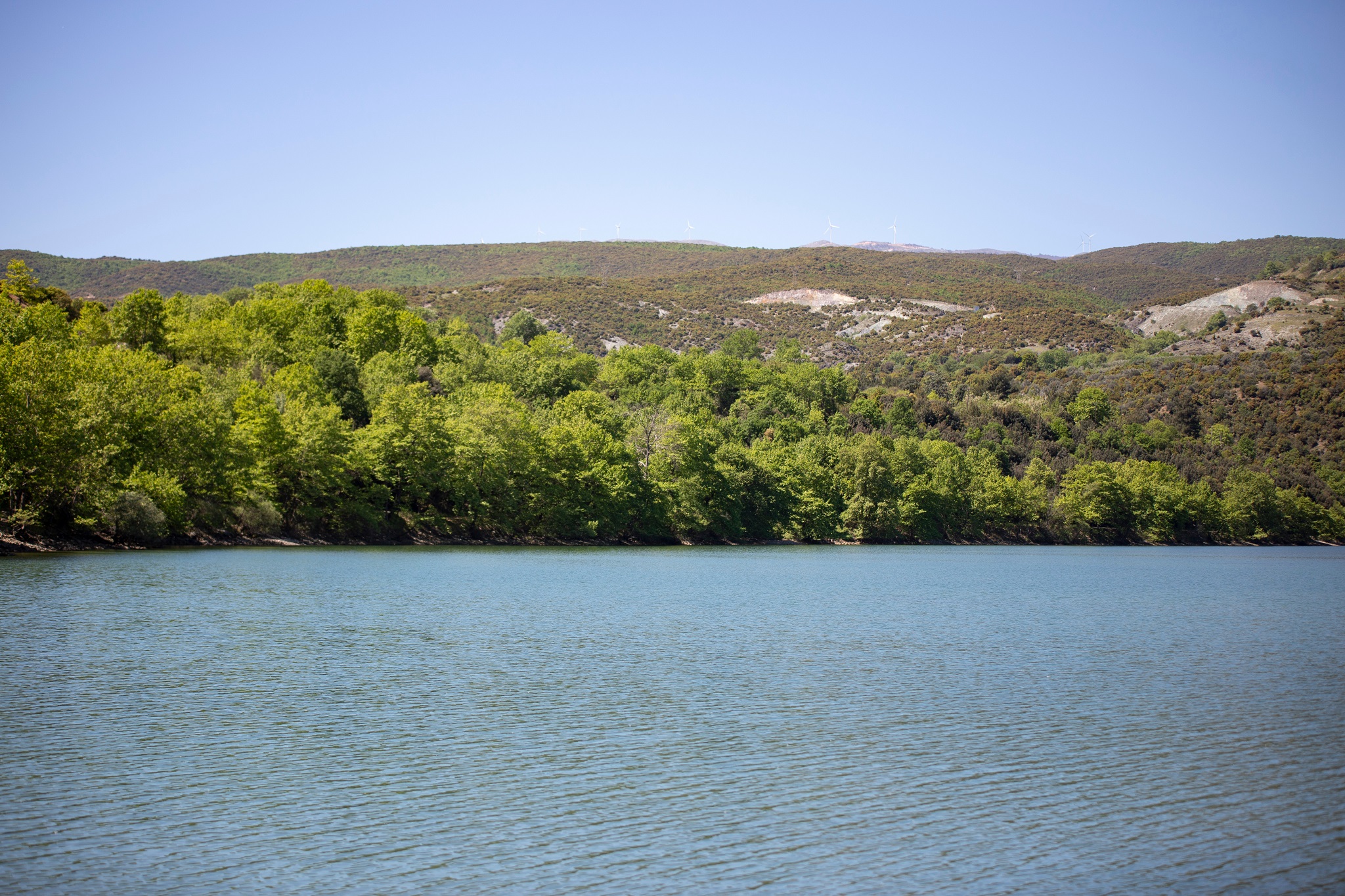
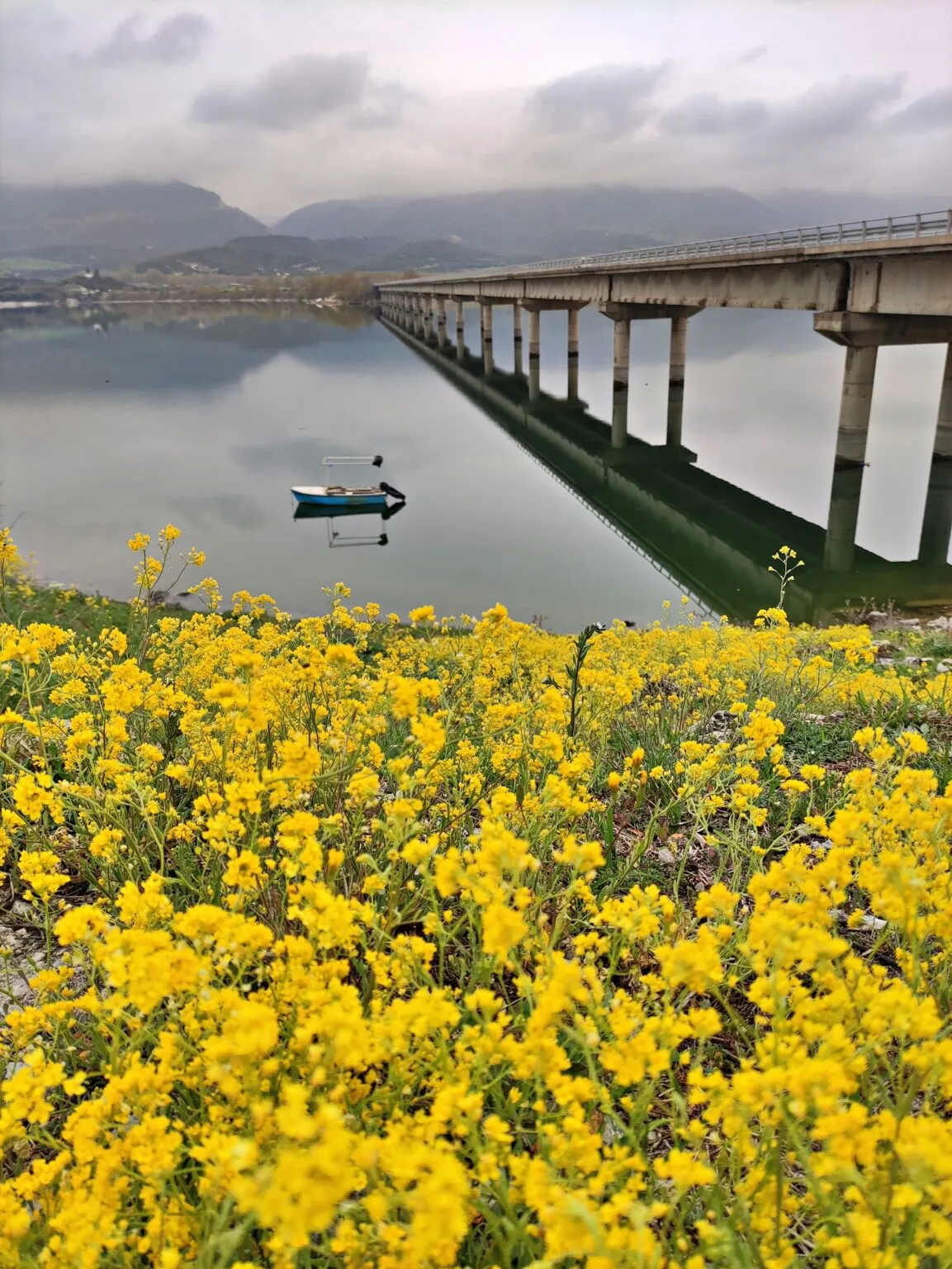
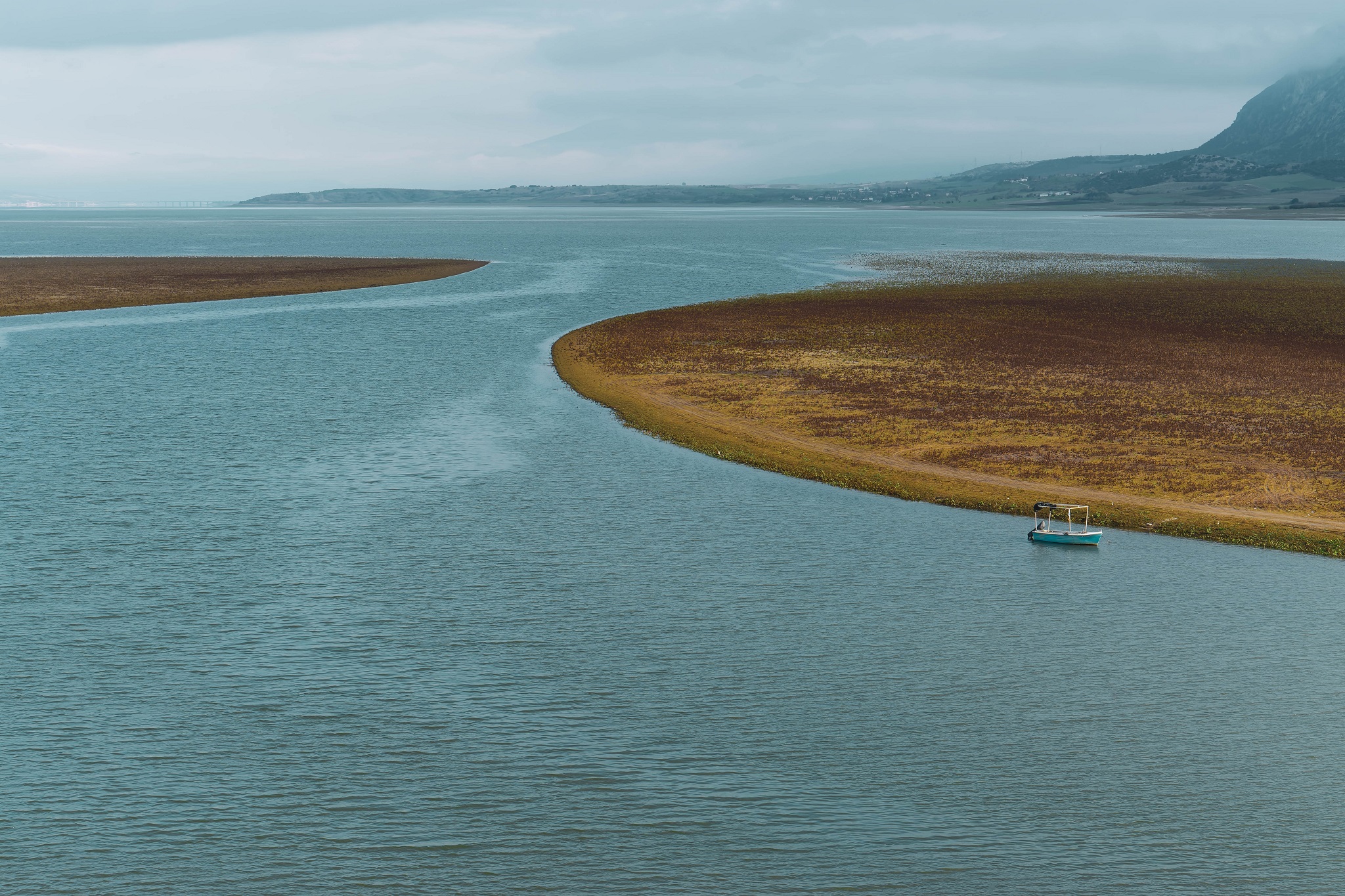
In semi-mountainous Kozani, at an altitude of 330 metres on the shores of the artificial Polyfytos lake, Rymnio village is home to 161 inhabitants (as per the 2011 census), living very close to the regional borders with Grevena. Notably, it stands as the only settlement in Kozani to the east of the flow of the Aliakmonas from this area, with the Rymnio bridge extending over its waters for 615 metres, a length that positions it as the second largest of its kind, following the more renowned High Bridge of Servia-Neraida, which spans 1,372 metres.
Even though Rymnio was only officially mentioned around 1918, it is presumed to be far older, a fact evidenced by its post-Byzantine church of Aghios Athanasios, the village’s key historic monument, officially declared as a preserved site, which houses frescoes dating back to the mid-16th century. The bridge, inaugurated in 1976 to the west of the inhabited area, is oriented towards Aiani and replaced an already existing passage for people and animals across the river, which had been bridged over back in 1955 with a metallic, net-like structure.
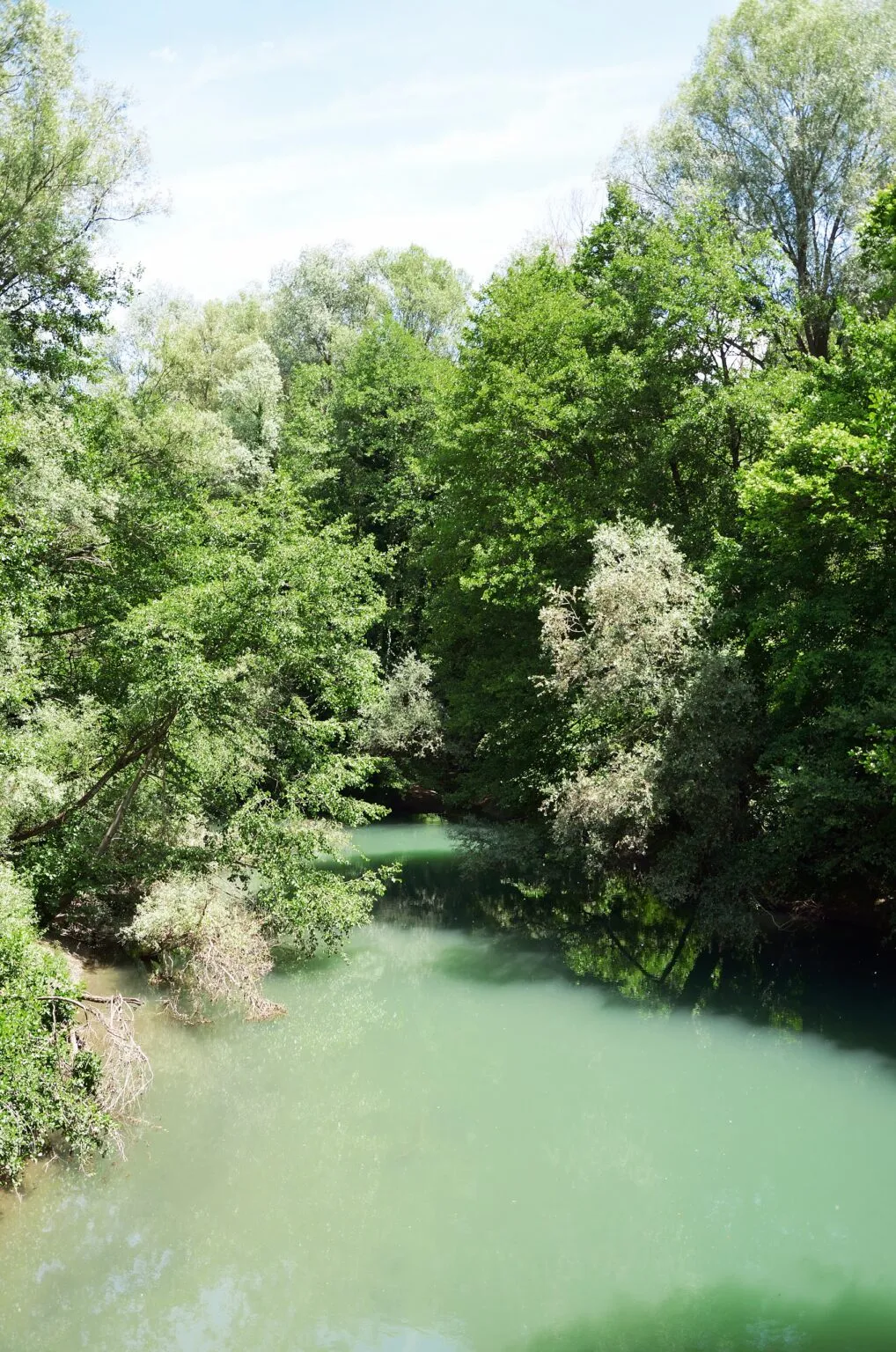
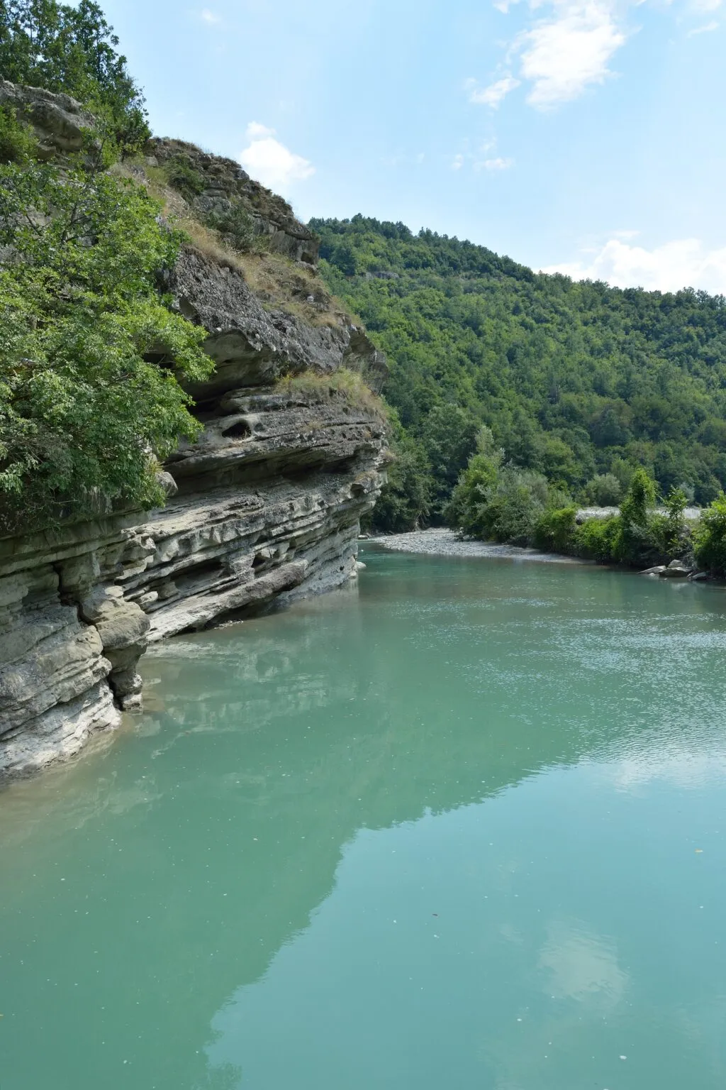
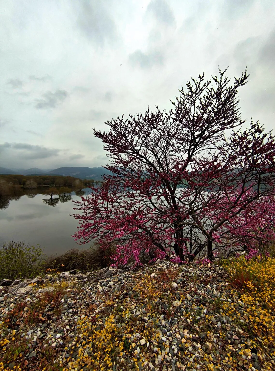
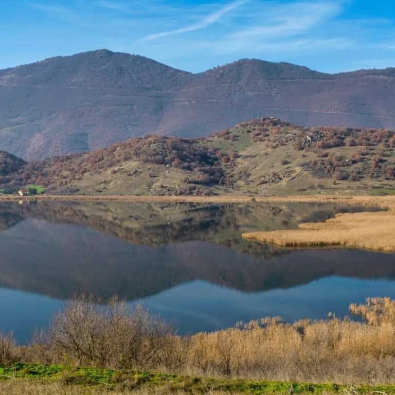
Thanks to the river’s waters, the landscape surrounding Rymnio is abundant with lush vegetation. The river maintains relatively cool temperatures in the region during the summer, yet the most ideal times to truly appreciate the surrounding nature are spring and autumn. In spring, there is an explosion of greenery, and the banks are covered with flowers, while in the autumn one can delight in the beautiful hues of orange, brown, green, yellow and red, which create enchanting visual combinations along with the blue-green, flowing waters. Meanwhile, at its length, Rymnio bridge offers a magnificent view of the surroundings for anyone crossing it by car – and it’s not uncommon to see drivers slowing down to take a moment to admire the scenery.
The environs of the village offer plenty of enticing routes for hikers too. Towards the hinterlands, situated on the opposite side of the Aliakmonas River, lies the stunning Rymnio waterfall, as it’s named on Google maps. This natural spectacle forms part of the picturesque Trigoniko gorge (or Katerina), extending eight kilometres across a relatively gentle terrain graced by rushing streams, sheer rocks, and lush trees. The journey begins in the village of Metaxa Servion, with the trail leading towards Rymnio, where the Polifitos Lake begins to take form.
Another wondrous location steeped in idyllic scenery is Anavryta Rymniou, which is located between a plane tree forest and babbling mountain springs, serving as a favoured retreat spot for inhabitants of the neighbouring villages. Moreover, beautiful expanses adorned with plane trees can be found to the south of the bridge, reaching as far as the Ilariona dam, approximately eight and a half kilometres southwest of Rymnio. At certiain times of the year, visitors here can almost feel as though they have stumbled upon a coastal haven, rather than the highlands of western Macedonia.
Furthermore, in the vicinity is a beautiful wetland habitat, home to an abundant variety of flora and fauna, flourishing along the banks of the Aliakmonas River. This welcoming river provides sanctuary for birds, particularly those species that stop to rest there during their migrations. Notably, the waters are also home to an endemic species of fish, the ‘mavrotsironi‘, a creature not found anywhere else in the world.
How to Get There
While Rymnio holds the distinction of being the only village in Kozani situated east of the Aliakmonas River, it is not situated too far from the capital of the same name. A mere 28 kilometres separate them, with the well-known town of Servia lying even closer, at a distance of 15.5 kilometres to the southwest.
Starting from Kozani, head in a south-southeasterly direction, targeting the border with Grevena. The journey is quite straightforward, traversing well-maintained asphalt roads. Follow the provincial road of Servia-Aiani, which will guide you to your destination within approximately 30 minutes. This remains the preferred route for most visitors to the region, coming here for a day trip, particularly since Rymnio lacks the touristic development observed in other settlements near Kozani, such as Neraida, around the artificial Polifitos Lake, like.


