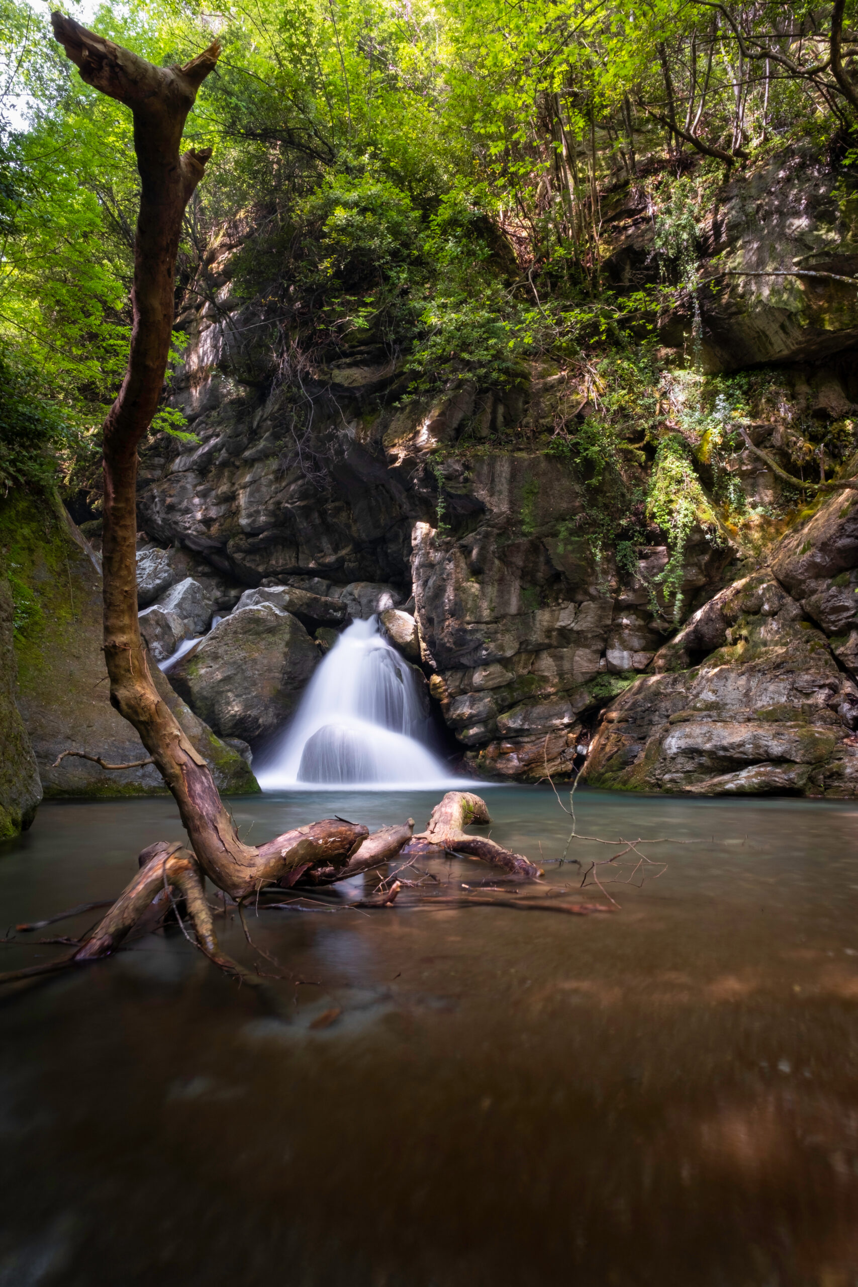
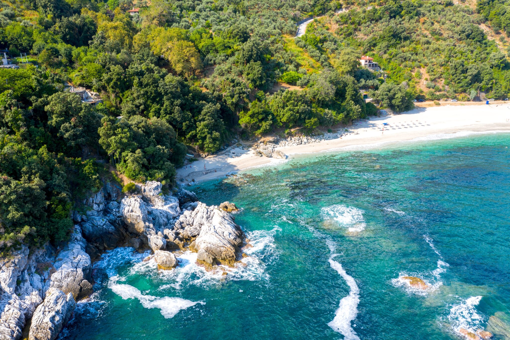
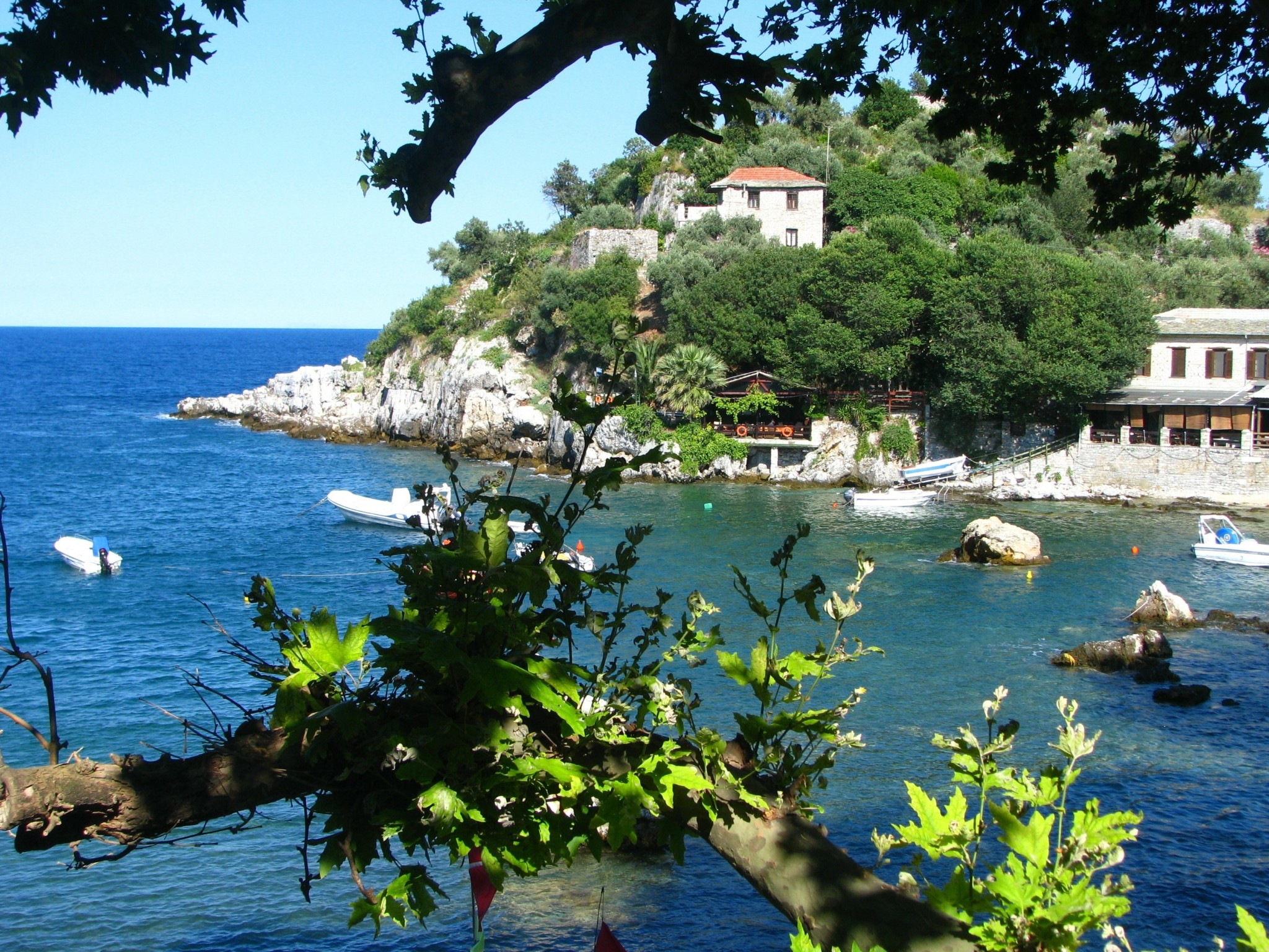
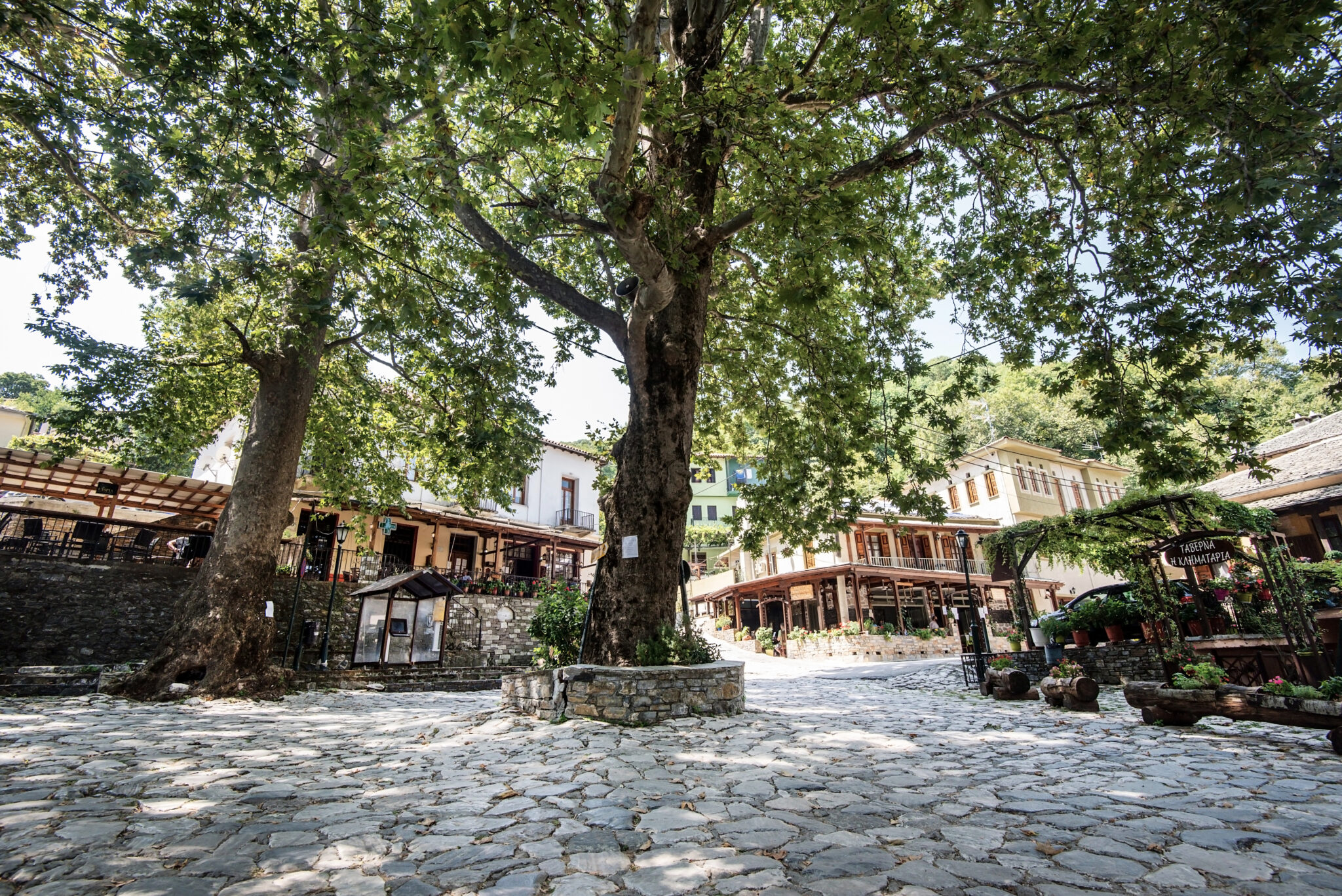
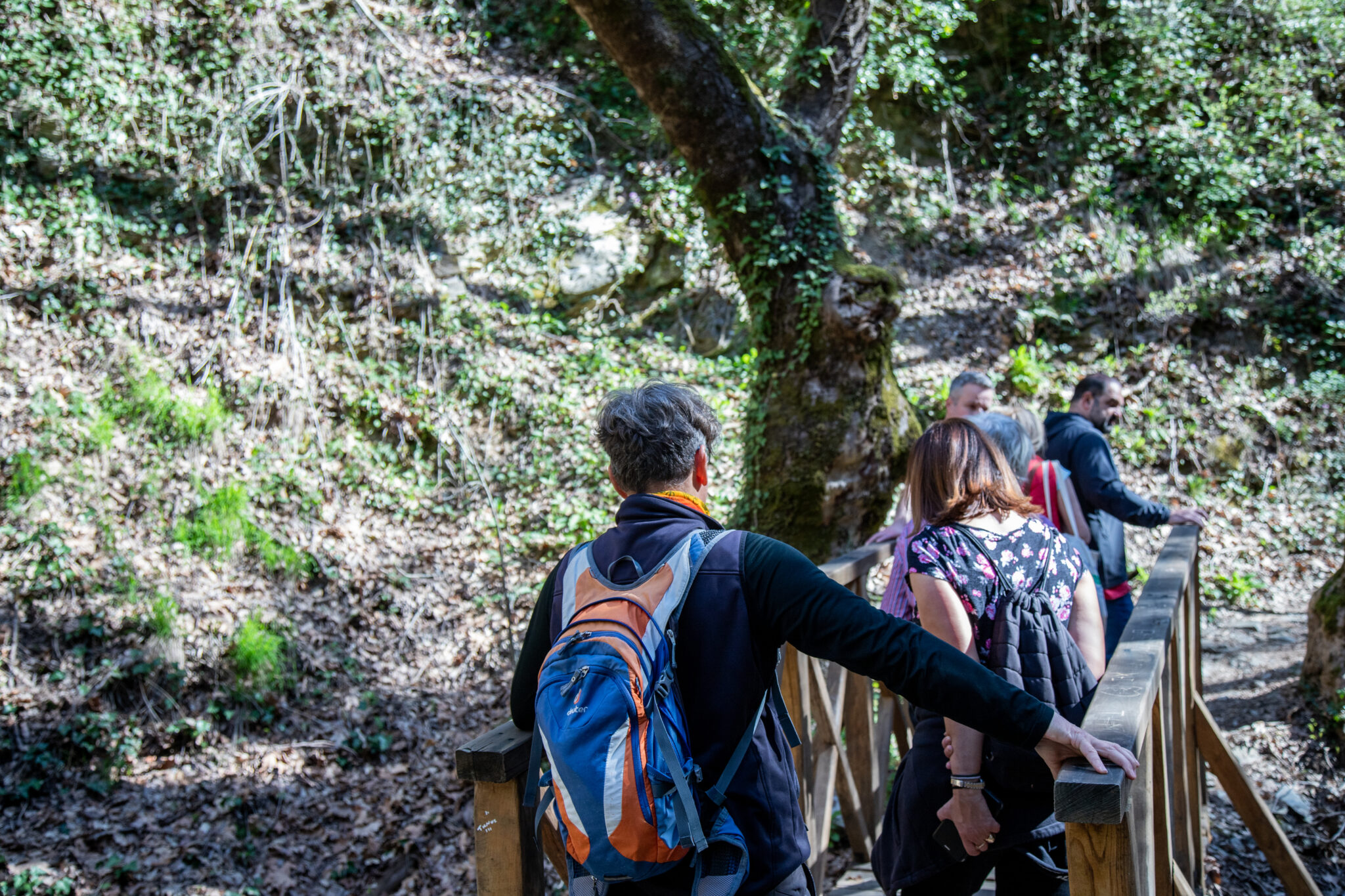
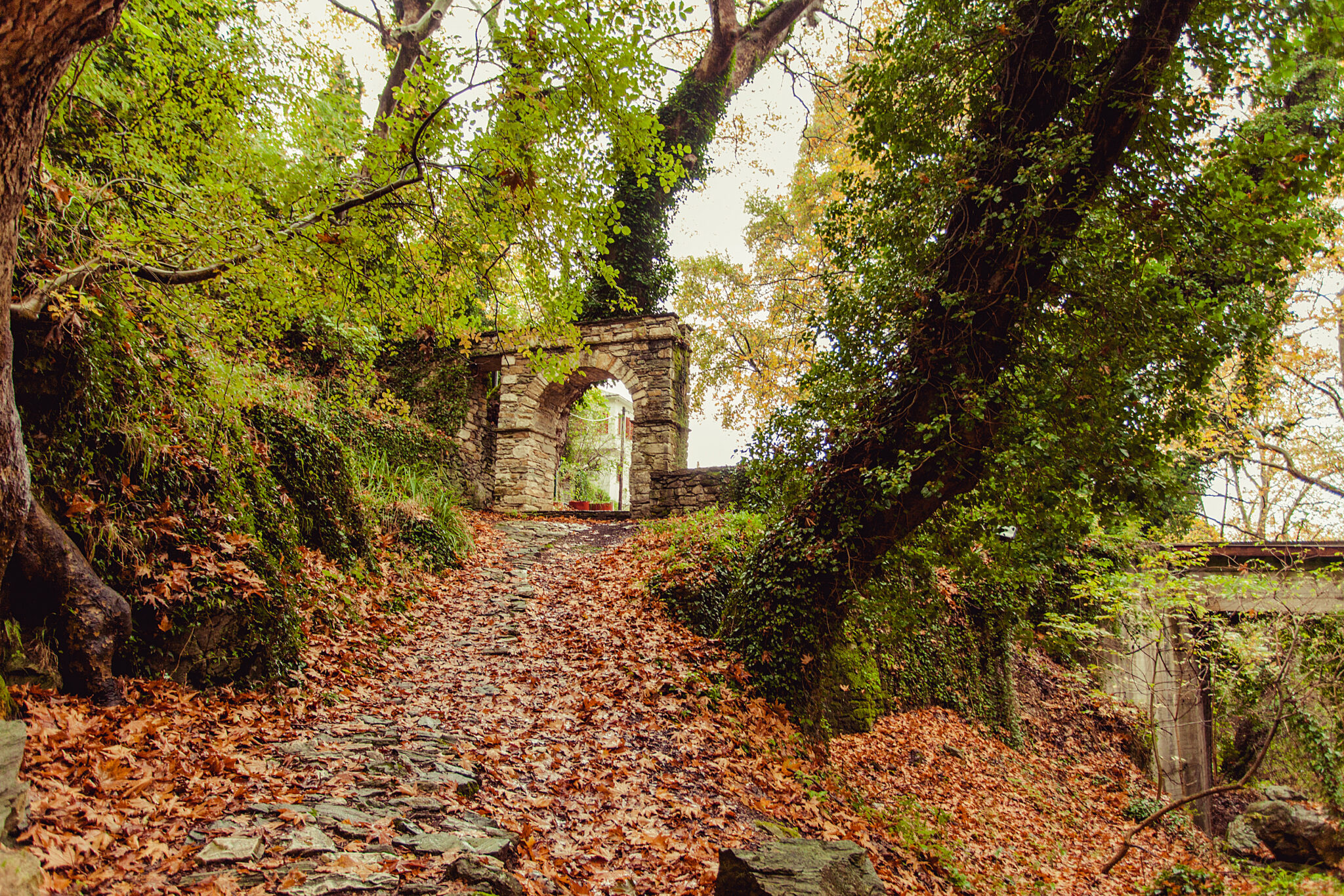
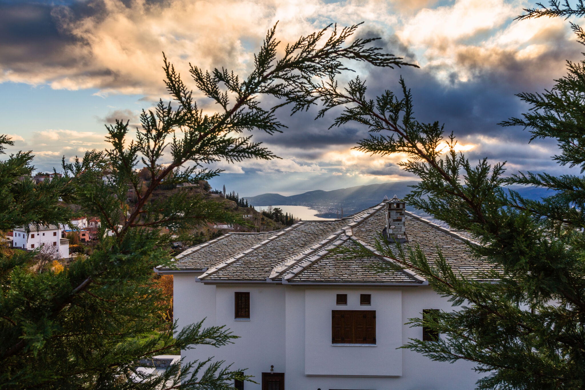
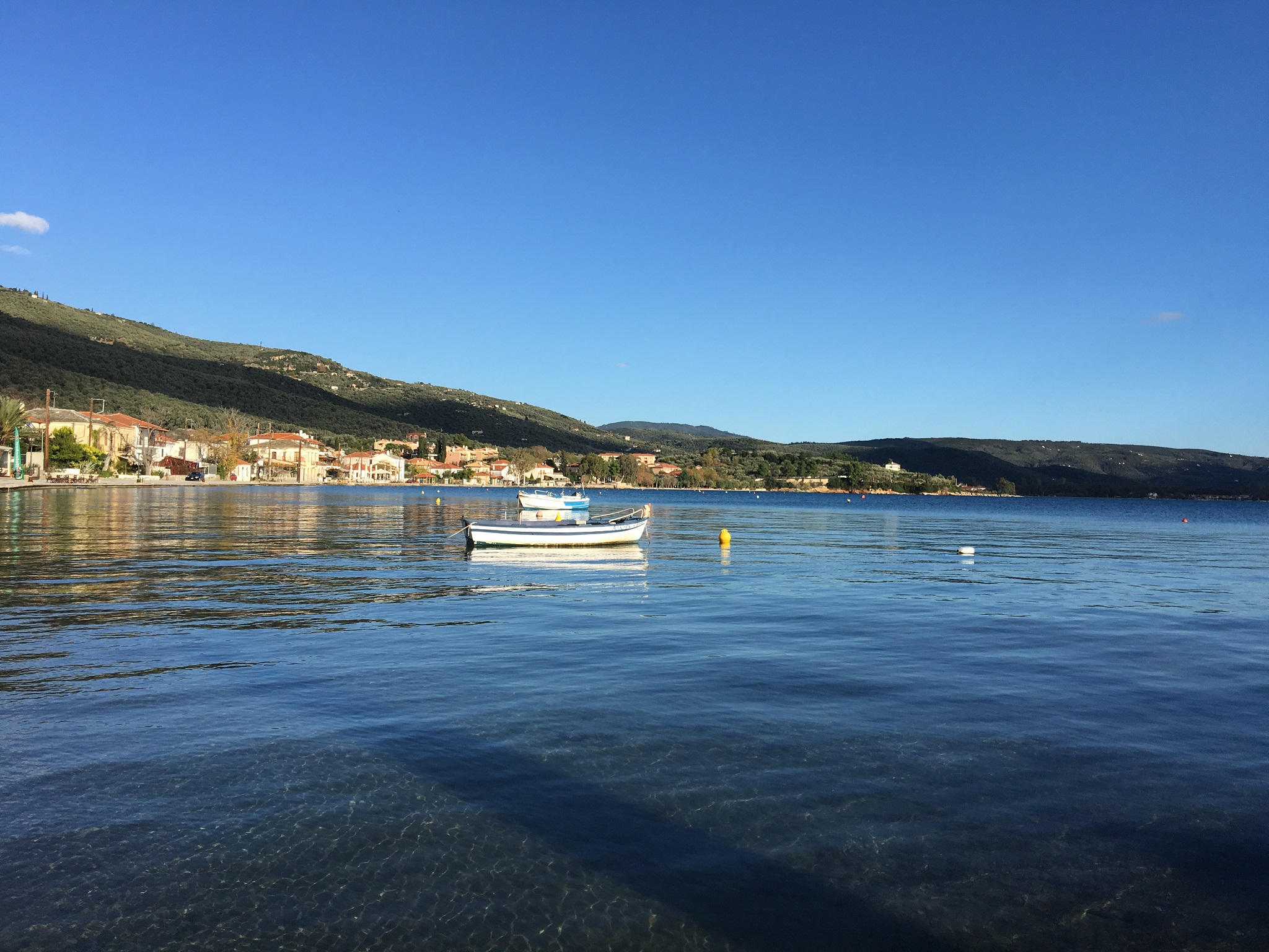
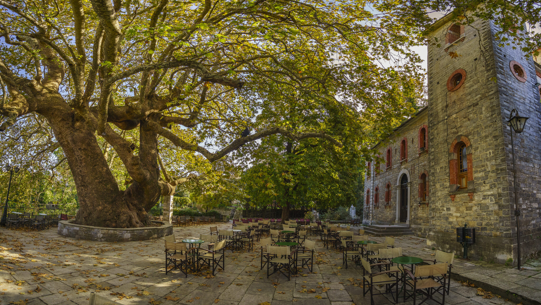
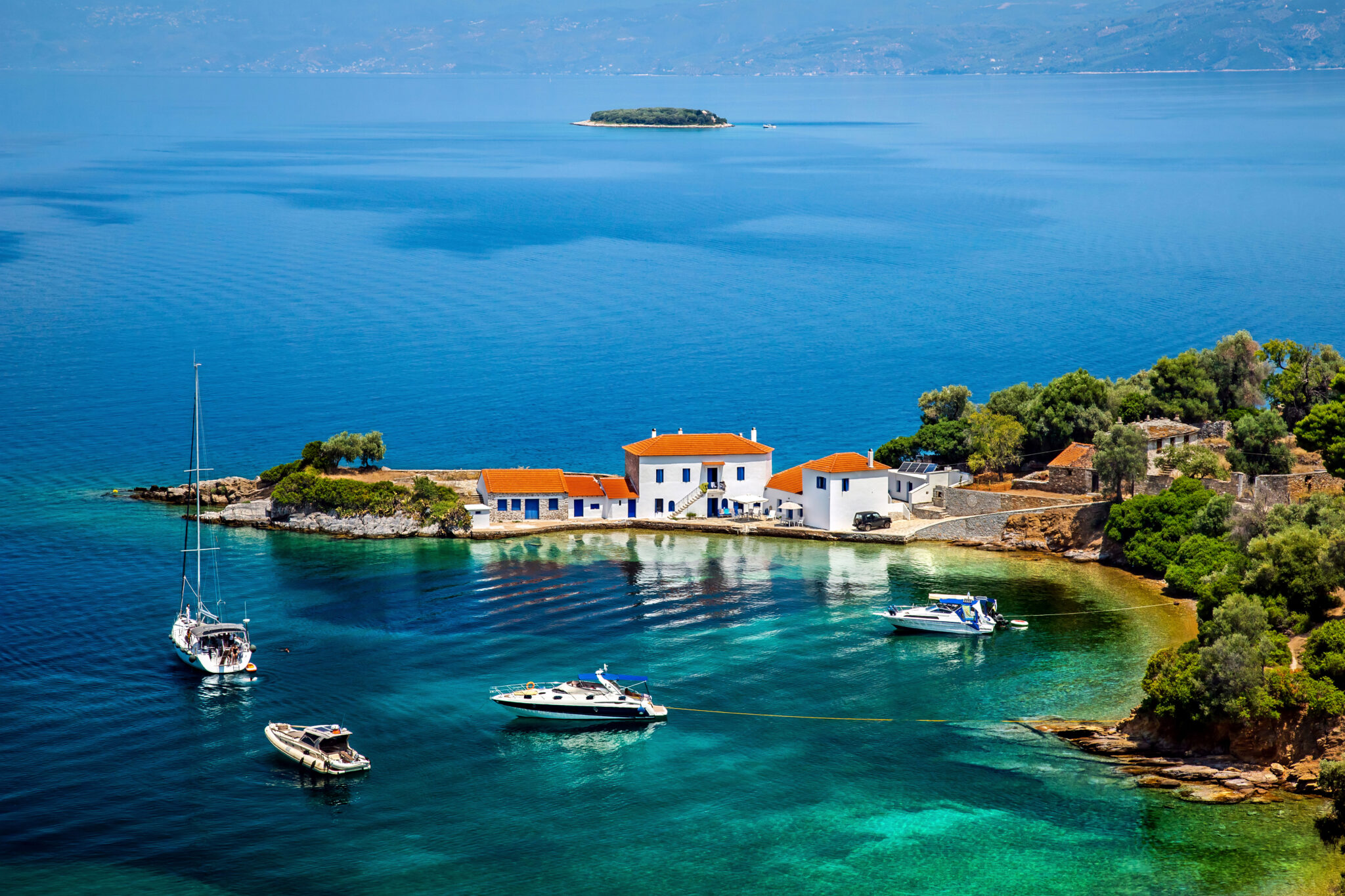
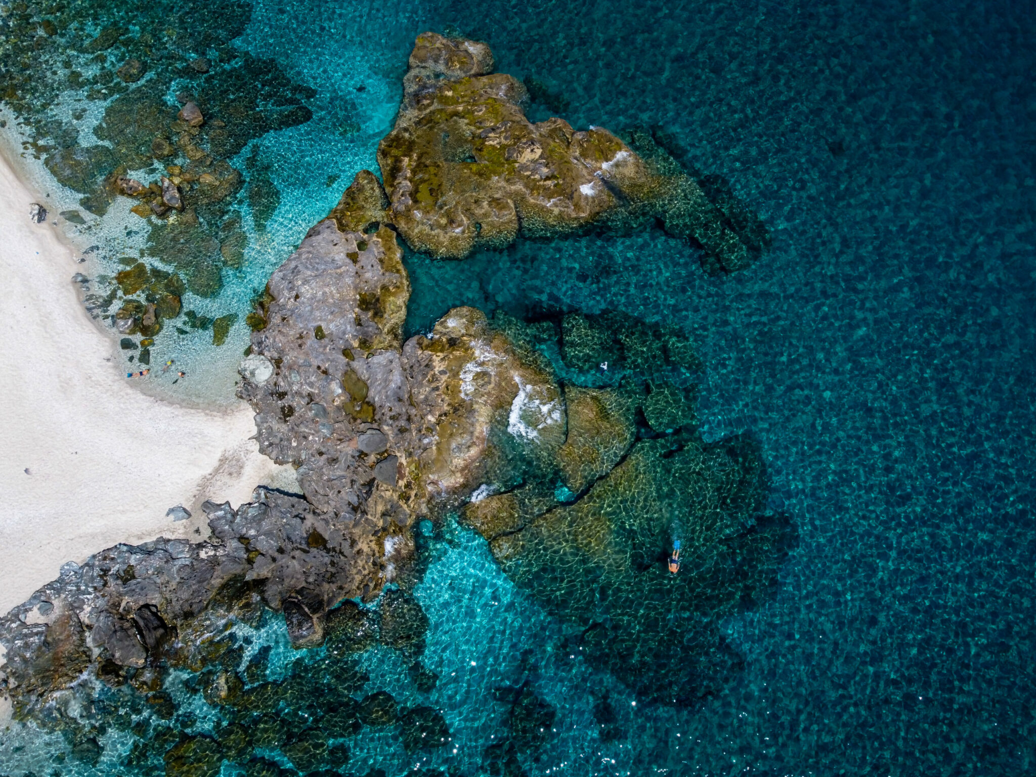
Your starting point is the Agia Paraskevi Square in Tsagarada. The Agnanti viewpoint stands out with panoramic views of the Aegean Sea. From there, the path plunges downward towards the sea, offering views of Damouchari – a section that locals call “kagkiolia”. After crossing the wooden bridge over the stream of Halorematos, you’ll reach Damouchari. From there, you can continue towards Papa Nero beach and eventually arrive at Ai Giannis.
02
Kissos-Mouresi-Ai Giannis
array(1) {
[0]=>
array(5) {
["file"]=>
array(24) {
["ID"]=>
int(186983)
["id"]=>
int(186983)
["title"]=>
string(31) "Kissos,Village.,Pelion,,Greece."
["filename"]=>
string(24) "kissos-pelion-scaled.jpg"
["filesize"]=>
int(1723158)
["url"]=>
string(73) "https://www.travel.gr/wp-content/uploads/2023/02/kissos-pelion-scaled.jpg"
["link"]=>
string(56) "https://www.travel.gr/en/kissos-village-pelion-greece-2/"
["alt"]=>
string(0) ""
["author"]=>
string(1) "8"
["description"]=>
string(34) "Kissos, Pelion/Photo: Shutterstock"
["caption"]=>
string(0) ""
["name"]=>
string(30) "kissos-village-pelion-greece-2"
["status"]=>
string(7) "inherit"
["uploaded_to"]=>
int(0)
["date"]=>
string(19) "2023-02-20 14:06:39"
["modified"]=>
string(19) "2023-04-26 08:05:16"
["menu_order"]=>
int(0)
["mime_type"]=>
string(10) "image/jpeg"
["type"]=>
string(5) "image"
["subtype"]=>
string(4) "jpeg"
["icon"]=>
string(58) "https://www.travel.gr/wp-includes/images/media/default.png"
["width"]=>
int(1707)
["height"]=>
int(2560)
["sizes"]=>
array(18) {
["thumbnail"]=>
string(74) "https://www.travel.gr/wp-content/uploads/2023/02/kissos-pelion-150x150.jpg"
["thumbnail-width"]=>
int(150)
["thumbnail-height"]=>
int(150)
["medium"]=>
string(74) "https://www.travel.gr/wp-content/uploads/2023/02/kissos-pelion-200x300.jpg"
["medium-width"]=>
int(200)
["medium-height"]=>
int(300)
["medium_large"]=>
string(75) "https://www.travel.gr/wp-content/uploads/2023/02/kissos-pelion-768x1152.jpg"
["medium_large-width"]=>
int(768)
["medium_large-height"]=>
int(1152)
["large"]=>
string(75) "https://www.travel.gr/wp-content/uploads/2023/02/kissos-pelion-683x1024.jpg"
["large-width"]=>
int(683)
["large-height"]=>
int(1024)
["1536x1536"]=>
string(76) "https://www.travel.gr/wp-content/uploads/2023/02/kissos-pelion-1024x1536.jpg"
["1536x1536-width"]=>
int(1024)
["1536x1536-height"]=>
int(1536)
["2048x2048"]=>
string(76) "https://www.travel.gr/wp-content/uploads/2023/02/kissos-pelion-1366x2048.jpg"
["2048x2048-width"]=>
int(1366)
["2048x2048-height"]=>
int(2048)
}
}
["desc"]=>
bool(false)
["image_position"]=>
string(6) "center"
["image_link_to"]=>
string(0) ""
["open_link_in_new_tab"]=>
bool(false)
}
}
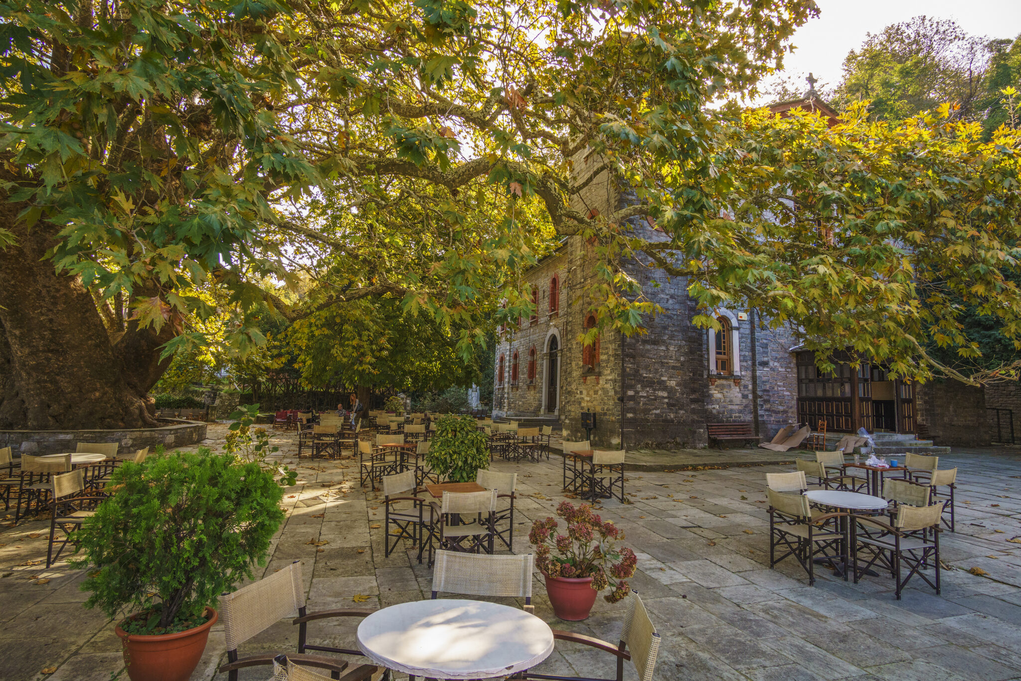
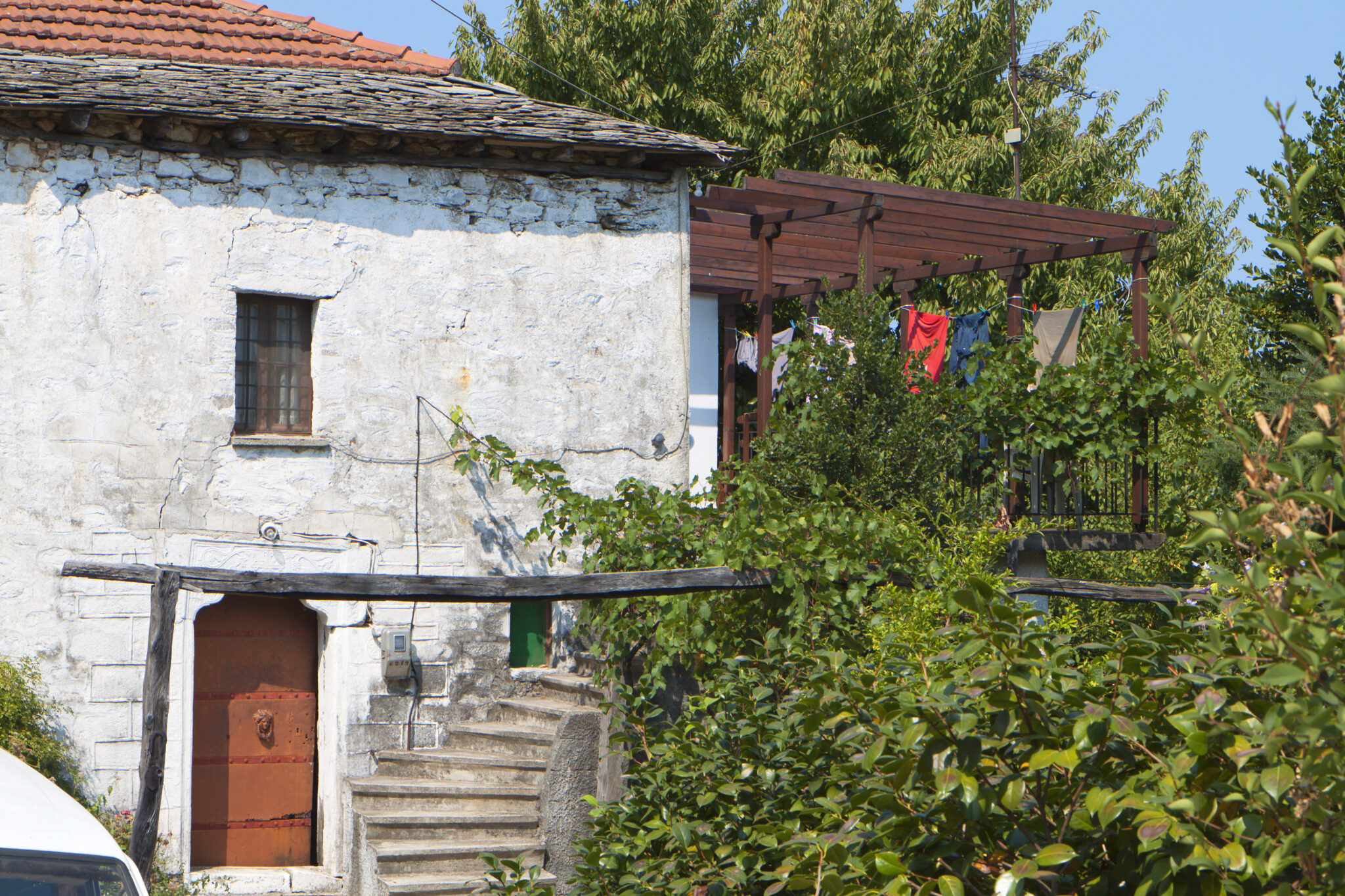
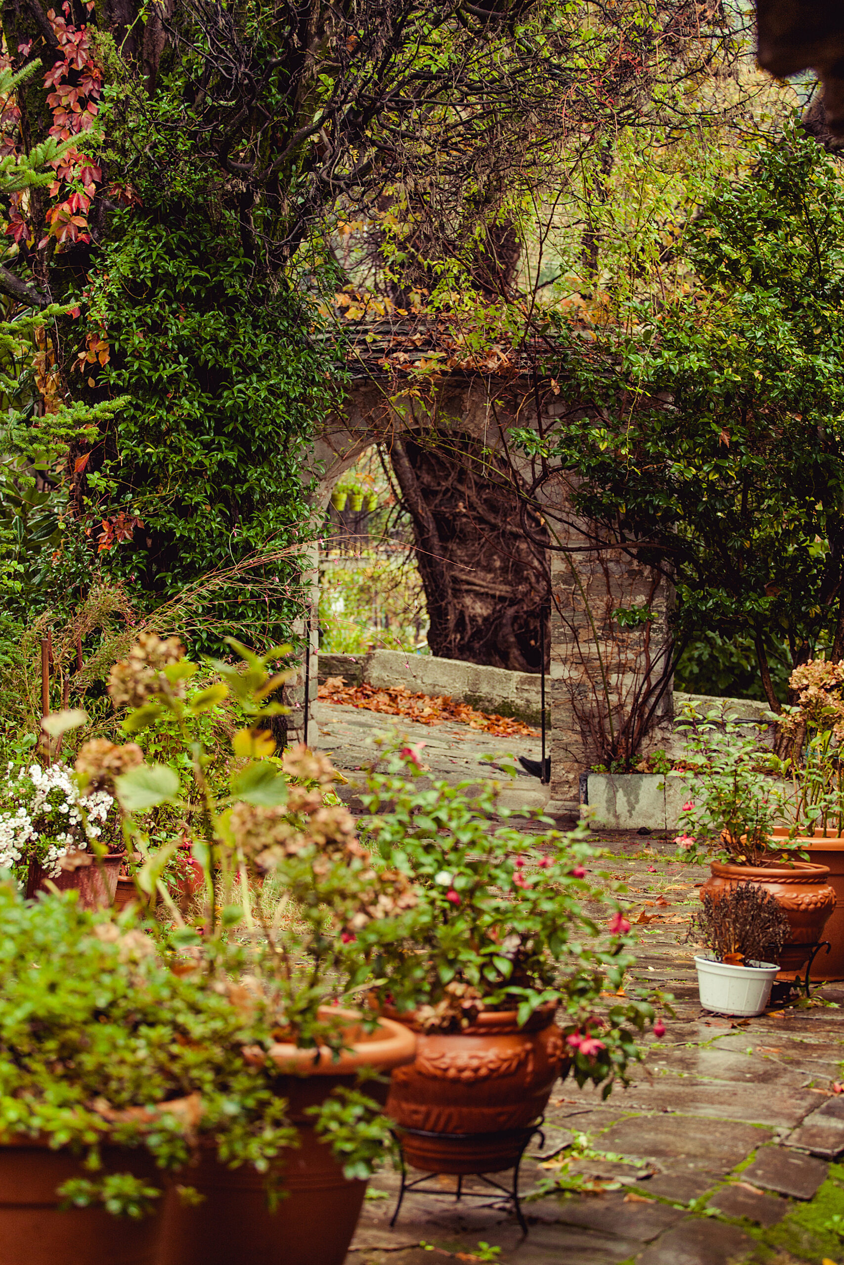
This trail, which connects two villages, starts at Agia Marina in Kissos. As you walk through the lush nature, you’ll see the church of Aghios Konstantinos and pass by the striking Kissiotiko stream, the most picturesque part of the route. You’ll make a stop at Mouresi, at the square where the church of Agia Triada stands. From there, continue towards Ai Giannis beach.
array(1) {
[0]=>
array(5) {
["file"]=>
array(24) {
["ID"]=>
int(220023)
["id"]=>
int(220023)
["title"]=>
string(20) "Chania,Pelion,Greece"
["filename"]=>
string(19) "chania-pelion-2.jpg"
["filesize"]=>
int(2174555)
["url"]=>
string(68) "https://www.travel.gr/wp-content/uploads/2023/04/chania-pelion-2.jpg"
["link"]=>
string(128) "https://www.travel.gr/en/experiences-ee/travel-en/verdurous-pelions-beautiful-mountain-villages/attachment/chania-pelion-greece/"
["alt"]=>
string(0) ""
["author"]=>
string(2) "17"
["description"]=>
string(33) "Hania, Pelion/Photo: Shutterstock"
["caption"]=>
string(0) ""
["name"]=>
string(20) "chania-pelion-greece"
["status"]=>
string(7) "inherit"
["uploaded_to"]=>
int(219834)
["date"]=>
string(19) "2023-04-26 08:16:07"
["modified"]=>
string(19) "2023-04-26 08:16:27"
["menu_order"]=>
int(0)
["mime_type"]=>
string(10) "image/jpeg"
["type"]=>
string(5) "image"
["subtype"]=>
string(4) "jpeg"
["icon"]=>
string(58) "https://www.travel.gr/wp-includes/images/media/default.png"
["width"]=>
int(2246)
["height"]=>
int(2448)
["sizes"]=>
array(18) {
["thumbnail"]=>
string(76) "https://www.travel.gr/wp-content/uploads/2023/04/chania-pelion-2-150x150.jpg"
["thumbnail-width"]=>
int(150)
["thumbnail-height"]=>
int(150)
["medium"]=>
string(76) "https://www.travel.gr/wp-content/uploads/2023/04/chania-pelion-2-275x300.jpg"
["medium-width"]=>
int(275)
["medium-height"]=>
int(300)
["medium_large"]=>
string(76) "https://www.travel.gr/wp-content/uploads/2023/04/chania-pelion-2-768x837.jpg"
["medium_large-width"]=>
int(768)
["medium_large-height"]=>
int(837)
["large"]=>
string(77) "https://www.travel.gr/wp-content/uploads/2023/04/chania-pelion-2-940x1024.jpg"
["large-width"]=>
int(940)
["large-height"]=>
int(1024)
["1536x1536"]=>
string(78) "https://www.travel.gr/wp-content/uploads/2023/04/chania-pelion-2-1409x1536.jpg"
["1536x1536-width"]=>
int(1409)
["1536x1536-height"]=>
int(1536)
["2048x2048"]=>
string(78) "https://www.travel.gr/wp-content/uploads/2023/04/chania-pelion-2-1879x2048.jpg"
["2048x2048-width"]=>
int(1879)
["2048x2048-height"]=>
int(2048)
}
}
["desc"]=>
bool(false)
["image_position"]=>
string(6) "center"
["image_link_to"]=>
string(0) ""
["open_link_in_new_tab"]=>
bool(false)
}
}
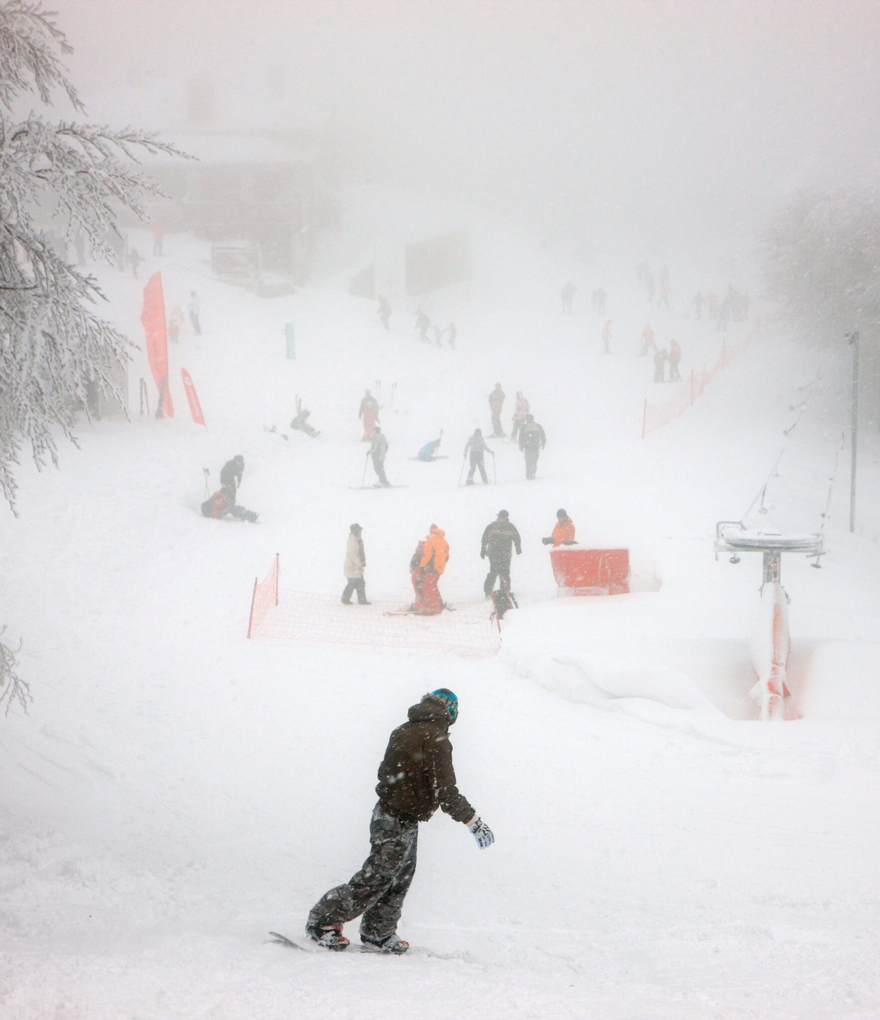
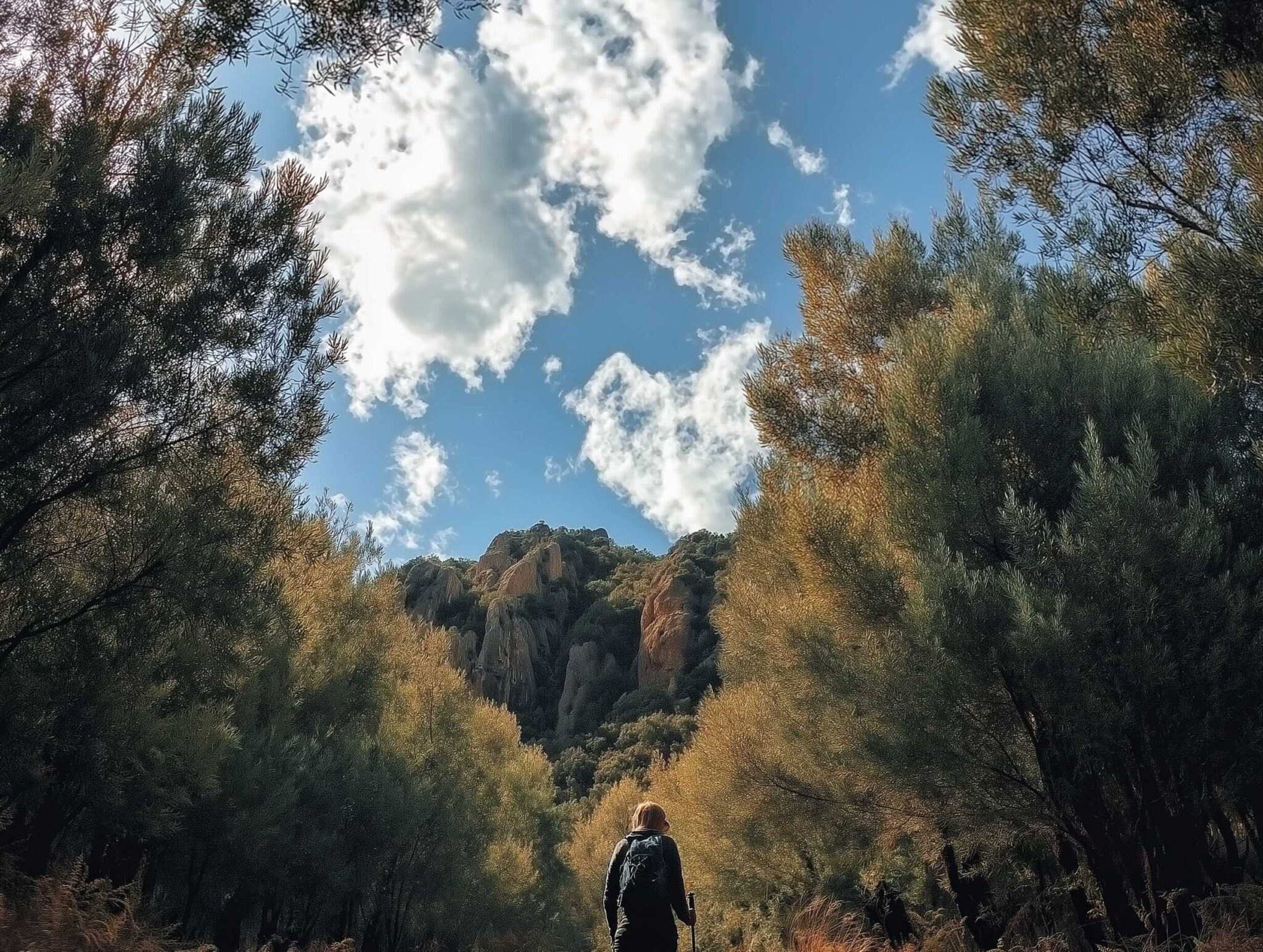
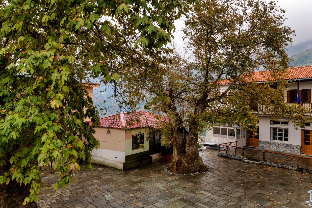
This trail starts at the parking area at the Agrioleukes ski resort in Hania village, and ends in the village of Makryrrachi, with a total length of 9.2 kilometers. Due to its relatively long length, it is a suitable route for hikers in excellent physical condition. The route takes hikers north of the peaks Agriolefkes (at 1,470 meters) and Agrioni (at 1,160 meters), from where dozens of springs emerge that feed small streams and ravines, all of which eventually end up in the impressive Feloukas gorge. This gorge passes through the village of Makrirrachi and flows into the Aegean Sea, at the point of the eastern coast of Pelion, where the beautiful Banikas beach is located.
This entire mountainside is covered with a dense forest of oak trees, chestnut trees, plane trees in the ravines, and many ferns. In 2019 the Volos Mountaineering Club (EOS Volou) marked the route with red paint on the tree trunks and managed to clear some entirely blocked sections in the lower parts of the mountainside, creating one of the most beautiful hiking routes in Pelion. The hike is 9,2 kilometers long and takes around 4,5-5 hours (with breaks) to hike.
04
Hiking the Centaurs’ Path, Portaria
array(1) {
[0]=>
array(5) {
["file"]=>
array(24) {
["ID"]=>
int(218563)
["id"]=>
int(218563)
["title"]=>
string(20) "pelion centaurs path"
["filename"]=>
string(24) "pelion-centaurs-path.jpg"
["filesize"]=>
int(1446095)
["url"]=>
string(73) "https://www.travel.gr/wp-content/uploads/2023/04/pelion-centaurs-path.jpg"
["link"]=>
string(120) "https://www.travel.gr/en/experiences-ee/top-hiking-routes-around-the-mountain-of-pelion/attachment/pelion-centaurs-path/"
["alt"]=>
string(0) ""
["author"]=>
string(2) "17"
["description"]=>
string(39) "“Centaurs Path”/Photo: Shutterstock"
["caption"]=>
string(0) ""
["name"]=>
string(20) "pelion-centaurs-path"
["status"]=>
string(7) "inherit"
["uploaded_to"]=>
int(218525)
["date"]=>
string(19) "2023-04-24 09:23:42"
["modified"]=>
string(19) "2023-04-24 09:24:06"
["menu_order"]=>
int(0)
["mime_type"]=>
string(10) "image/jpeg"
["type"]=>
string(5) "image"
["subtype"]=>
string(4) "jpeg"
["icon"]=>
string(58) "https://www.travel.gr/wp-includes/images/media/default.png"
["width"]=>
int(960)
["height"]=>
int(1024)
["sizes"]=>
array(18) {
["thumbnail"]=>
string(81) "https://www.travel.gr/wp-content/uploads/2023/04/pelion-centaurs-path-150x150.jpg"
["thumbnail-width"]=>
int(150)
["thumbnail-height"]=>
int(150)
["medium"]=>
string(81) "https://www.travel.gr/wp-content/uploads/2023/04/pelion-centaurs-path-281x300.jpg"
["medium-width"]=>
int(281)
["medium-height"]=>
int(300)
["medium_large"]=>
string(81) "https://www.travel.gr/wp-content/uploads/2023/04/pelion-centaurs-path-768x819.jpg"
["medium_large-width"]=>
int(768)
["medium_large-height"]=>
int(819)
["large"]=>
string(73) "https://www.travel.gr/wp-content/uploads/2023/04/pelion-centaurs-path.jpg"
["large-width"]=>
int(960)
["large-height"]=>
int(1024)
["1536x1536"]=>
string(73) "https://www.travel.gr/wp-content/uploads/2023/04/pelion-centaurs-path.jpg"
["1536x1536-width"]=>
int(960)
["1536x1536-height"]=>
int(1024)
["2048x2048"]=>
string(73) "https://www.travel.gr/wp-content/uploads/2023/04/pelion-centaurs-path.jpg"
["2048x2048-width"]=>
int(960)
["2048x2048-height"]=>
int(1024)
}
}
["desc"]=>
bool(false)
["image_position"]=>
string(6) "center"
["image_link_to"]=>
string(0) ""
["open_link_in_new_tab"]=>
bool(false)
}
}
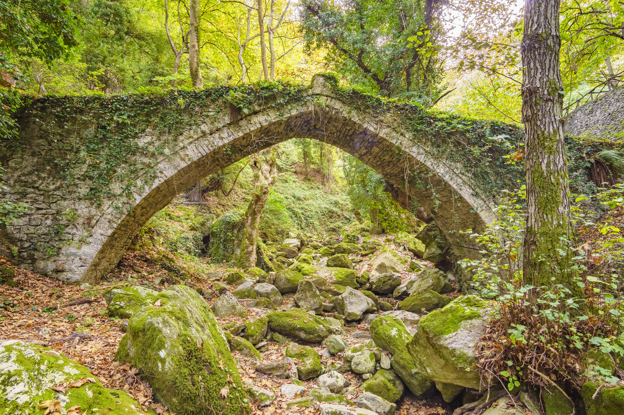
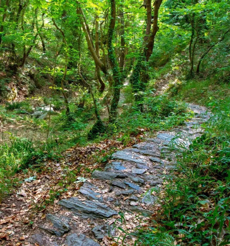
The so-called Centaurs’ Path is one of the easiest and most enjoyable walking routes in Pelion, and is relatively short. According to legend, this path was used by the Centaurs, mythical creatures that were half-human and half-horse, to travel to eastern Pelion. A landscape of immeasyurable beauty awaits you once you pass through the stone gate of Adamaena – the entrance to the path – located at the first streambed as you leave Portaria and head towards Makrinitsa.
The route, indicated by a sign near the starting point, leads from Portaria to the Mana spring, which supplies water to the settlement. The cobbled path, which has been cleared, maintained and signposted by local scouts, is gently uphill and passes through shady plane trees, ivy and tall ferns. The sound of running water surrounds you, forming streams and small pools. As you ascend, you will encounter and cross seven small wooden bridges, which make the route even more picturesque. Since the path is completed in less than an hour and does not pose any significant challenges, it’s also suitable for children.
05
Kato Gatzea to the Forest near Milies
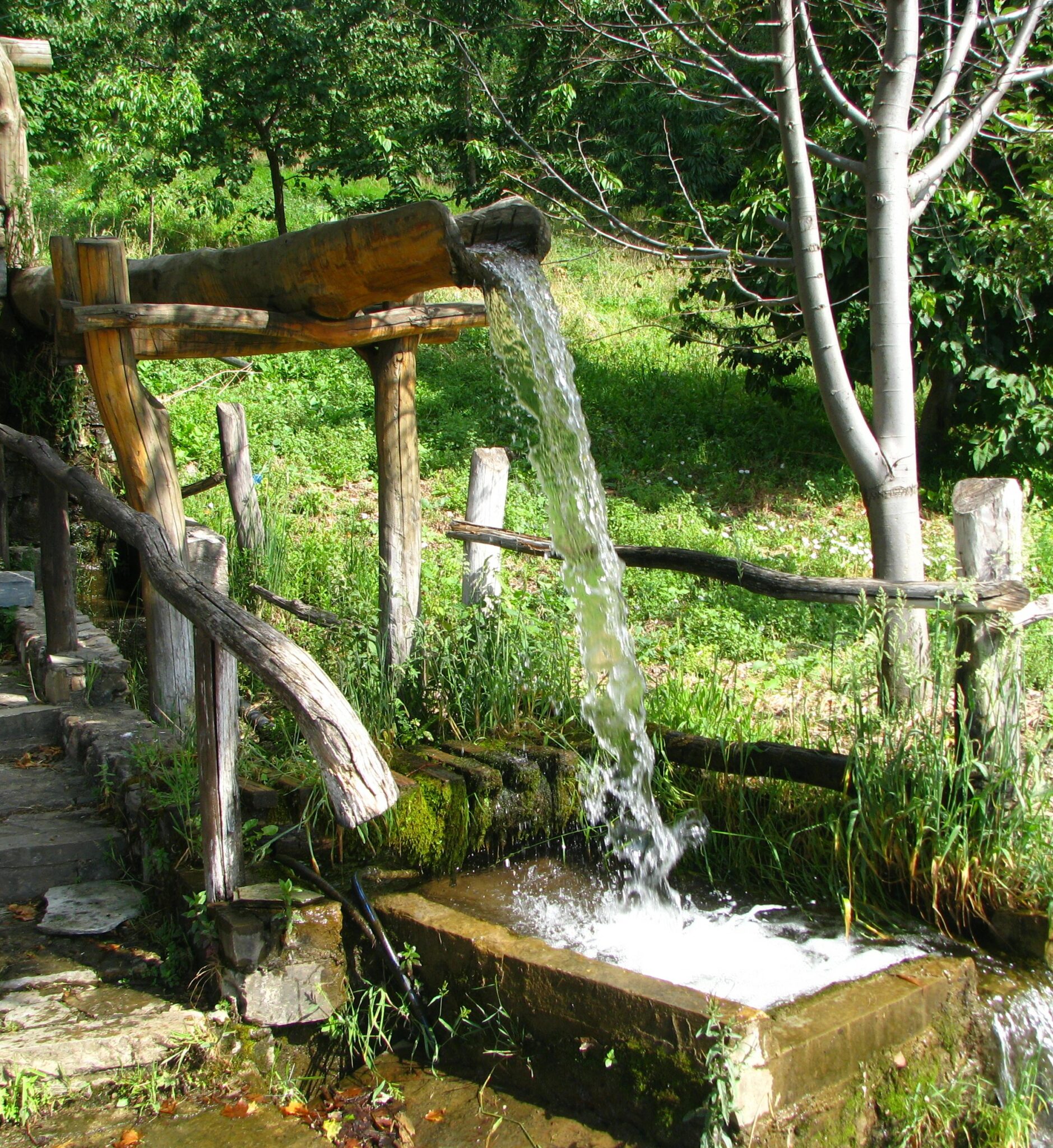
The first part of this easy-going route, which can be traversed by bicycle, will take you through some popular summer destinations popular for family holidays due to child-friendly beaches with shallow, clear waters in Kato Gatzea, an area also renowned for its seaside tavernas. As you continue towards Kala Nera, you will come across a village adorned with plane trees, willows, and tall eucalyptus trees that line its streets. From there, as you make your way to Koropi, you’ll be impressed by the rich vegetation, including various fruit trees like quinces, pear trees, and plum trees, all taking their turn along the path. Approaching the sea, the trail is shaded by ancient olive trees, and if you look, you’ll spot an old stone watermill. If you’re cycling, this is the point when you’ll have to leave your bike behind and continue on foot.
At this part of the hike, the landscape changes as you enter the forest. In this part of the mountain, you’ll find flowing waters that create beautiful cascades and small pools. If you’re feeling daring, jump in and take a dip in the cool, crystal-clear waters. If you want mower action, take the somewhat challenging trail leading to Milies, or stay in the Koropi forest for a picnic.